From High to Low: Andean Perspectives
Venezuela is a Carribean country but also has an Andean side on its western border to Colombia….
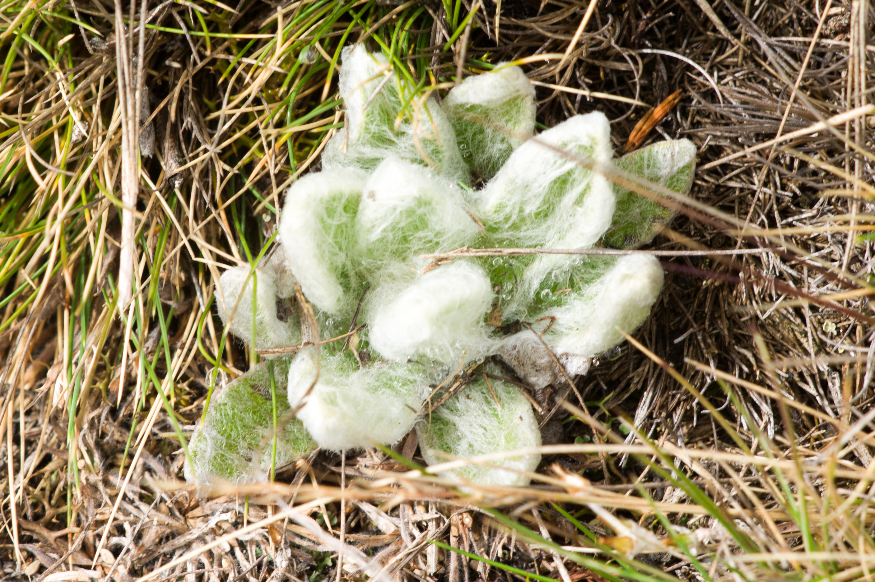
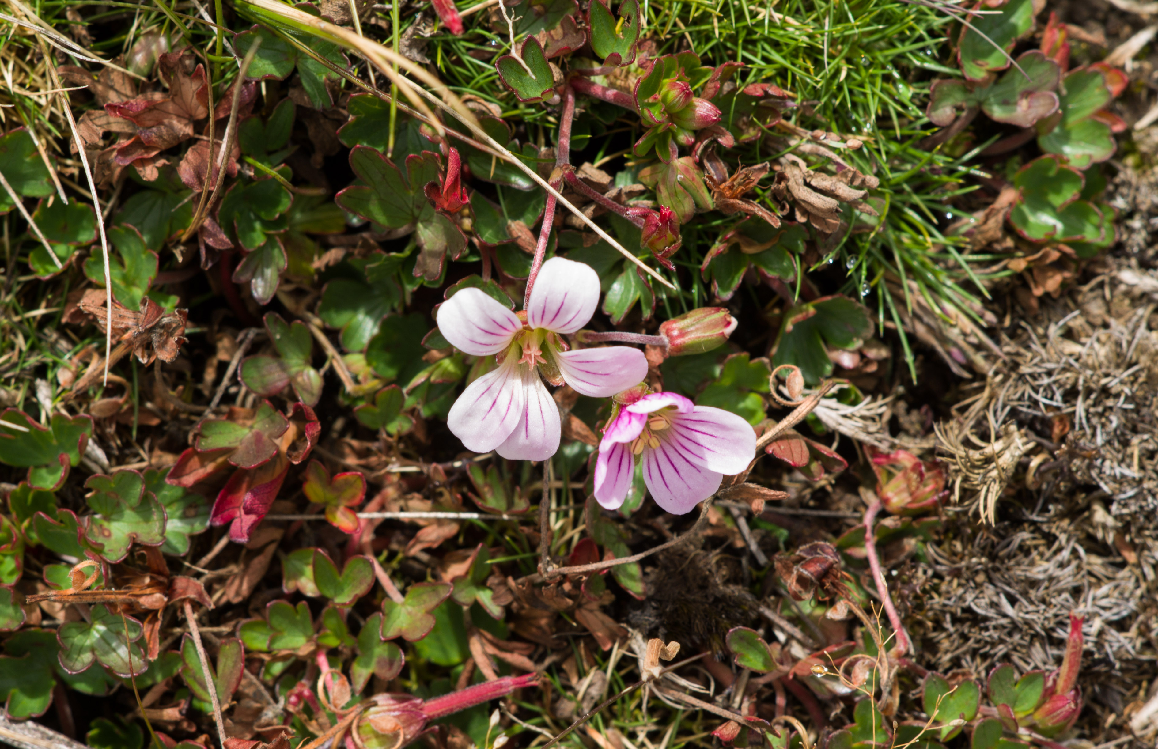
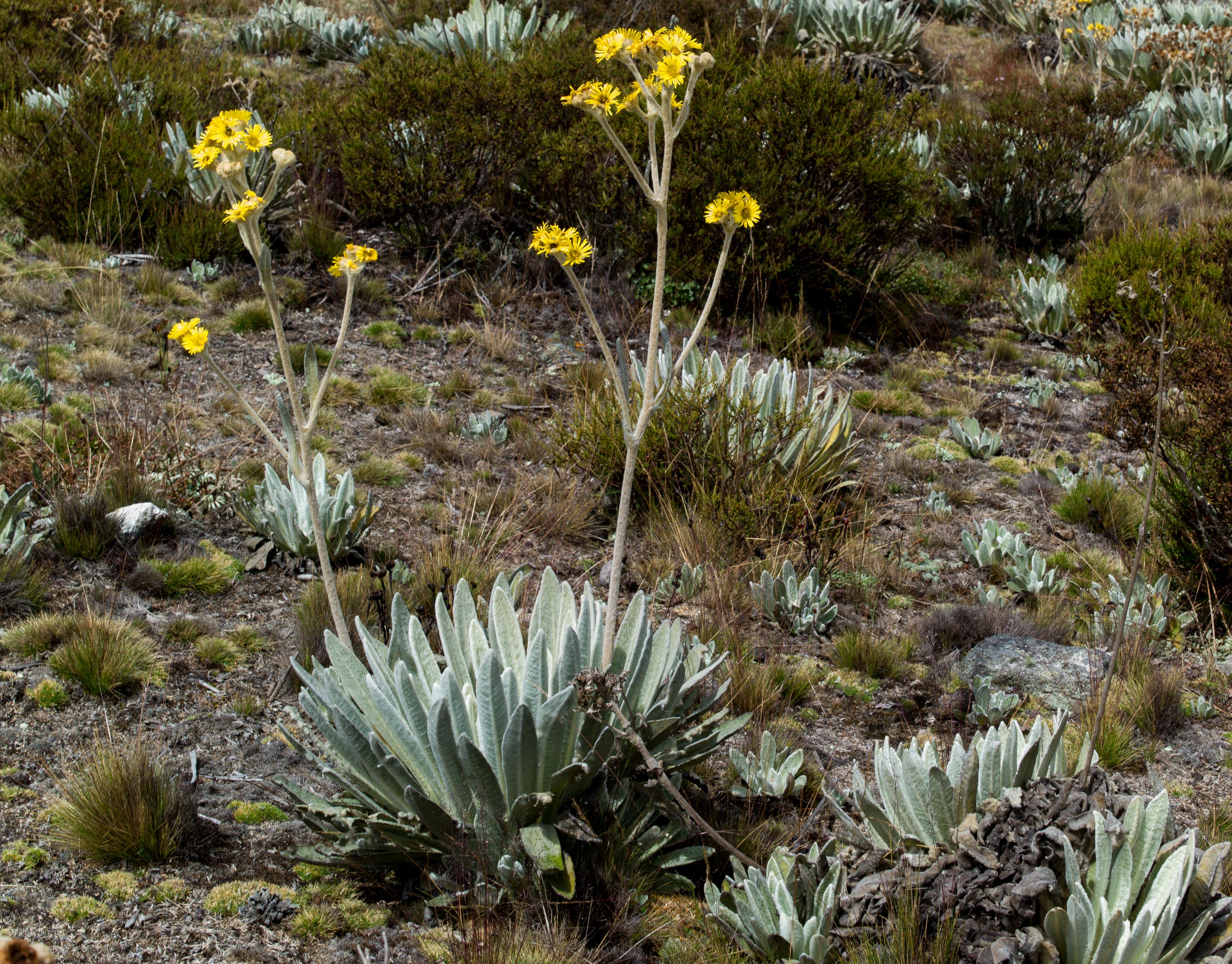
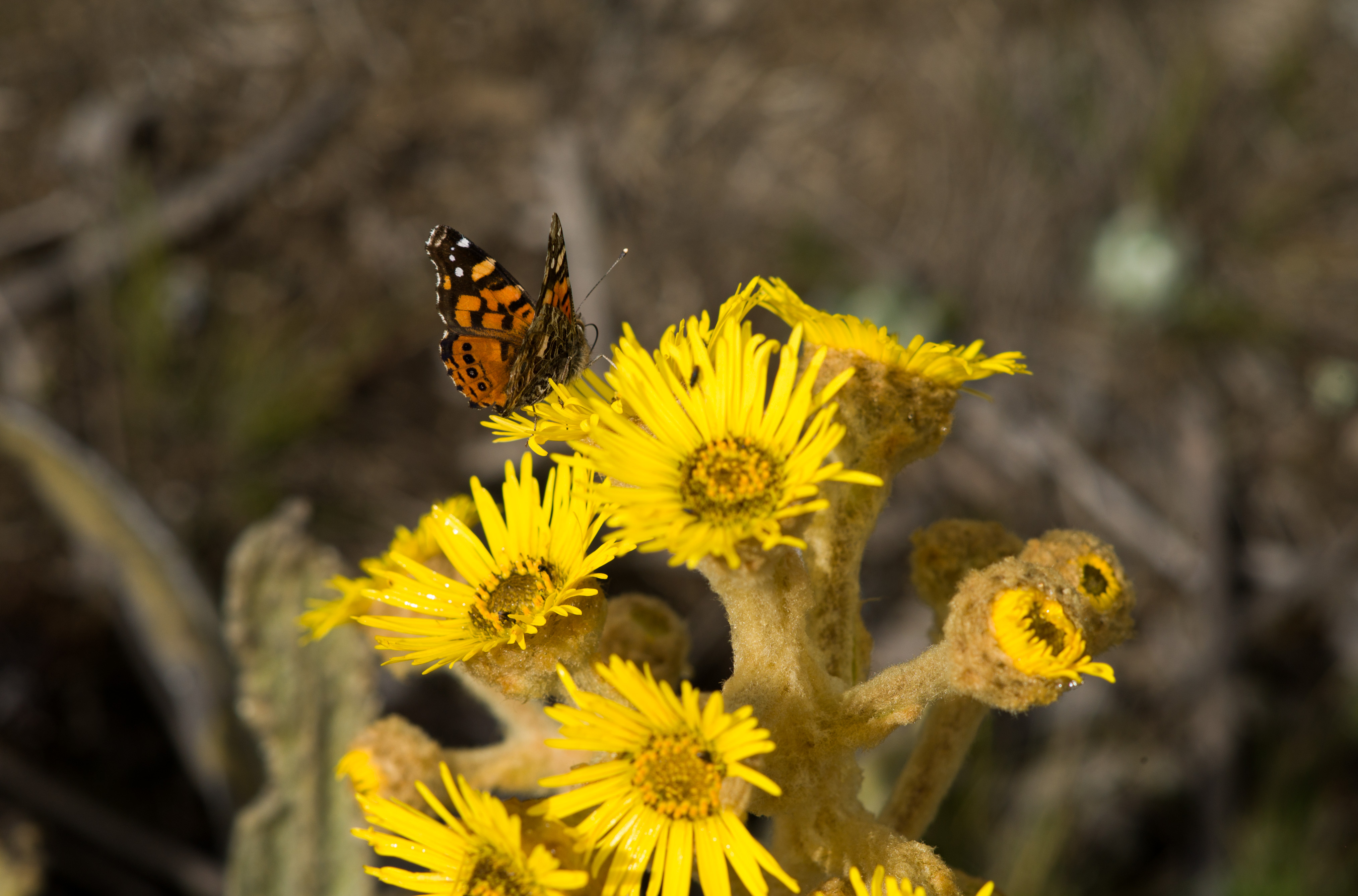
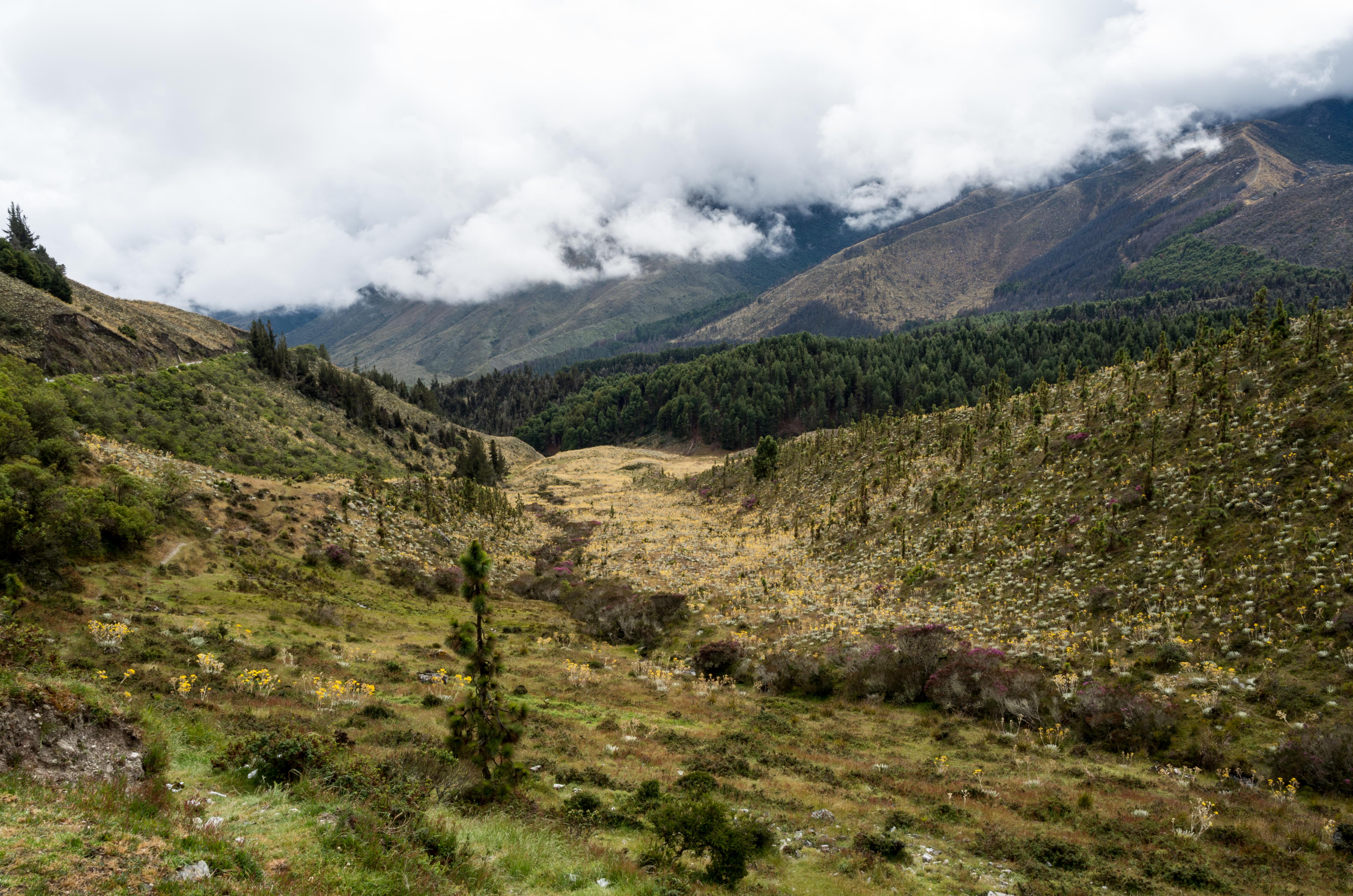
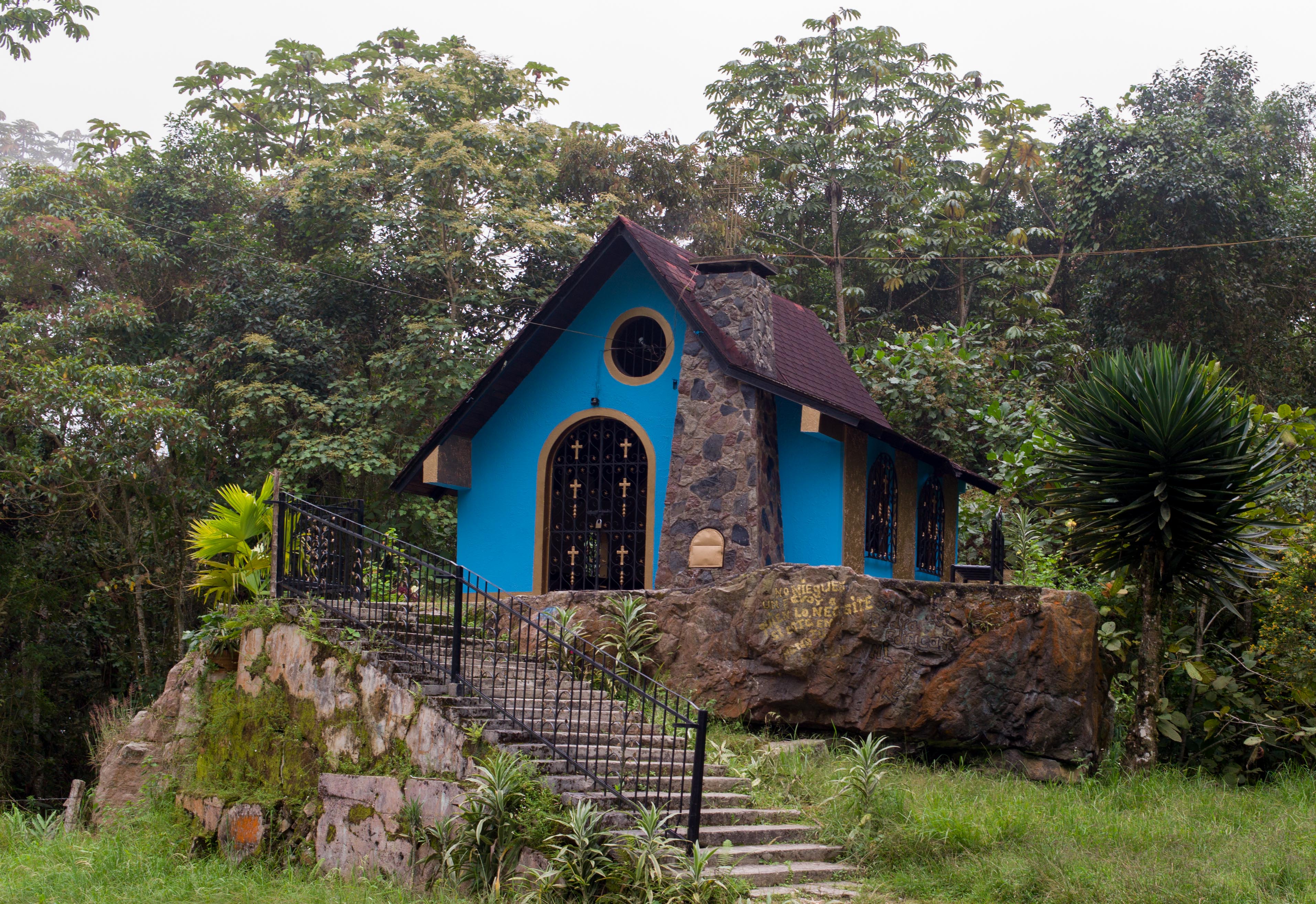
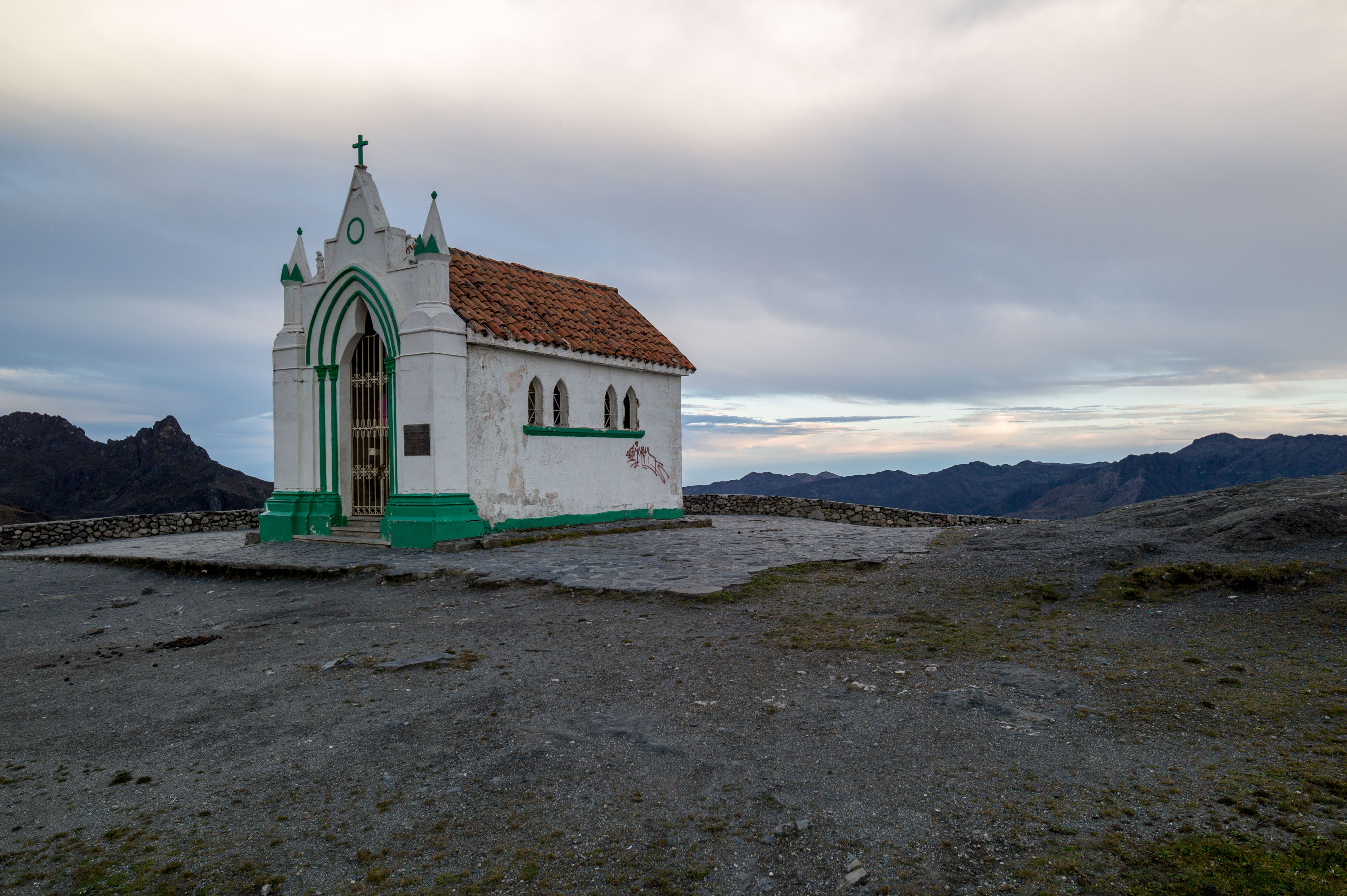 Pico Bolivar is the highest mountain in the country with nearly 5000 m. The church above is located at 4100m (Pico Aguila, close to Mérida). Vegetation is naturally different to the tropical landscape of most of the country. The highlands are called “Páramo”. Wikipedia tells us: “Páramo can refer to a variety of alpine tundra ecosystems. Some ecologists describe the páramo broadly as “all high, tropical, montane vegetation above the continuous timberline”.[1] A more narrow term classifies the páramo according to its regional placement in the northern Andes of South America and adjacent southern Central America. The páramo is the ecosystem of the regions above the continuous forest line, yet below the permanent snowline.It is a “Neotropical high mountain biome with a vegetation composed mainly of giant rosette plants, shrubs and grasses”.
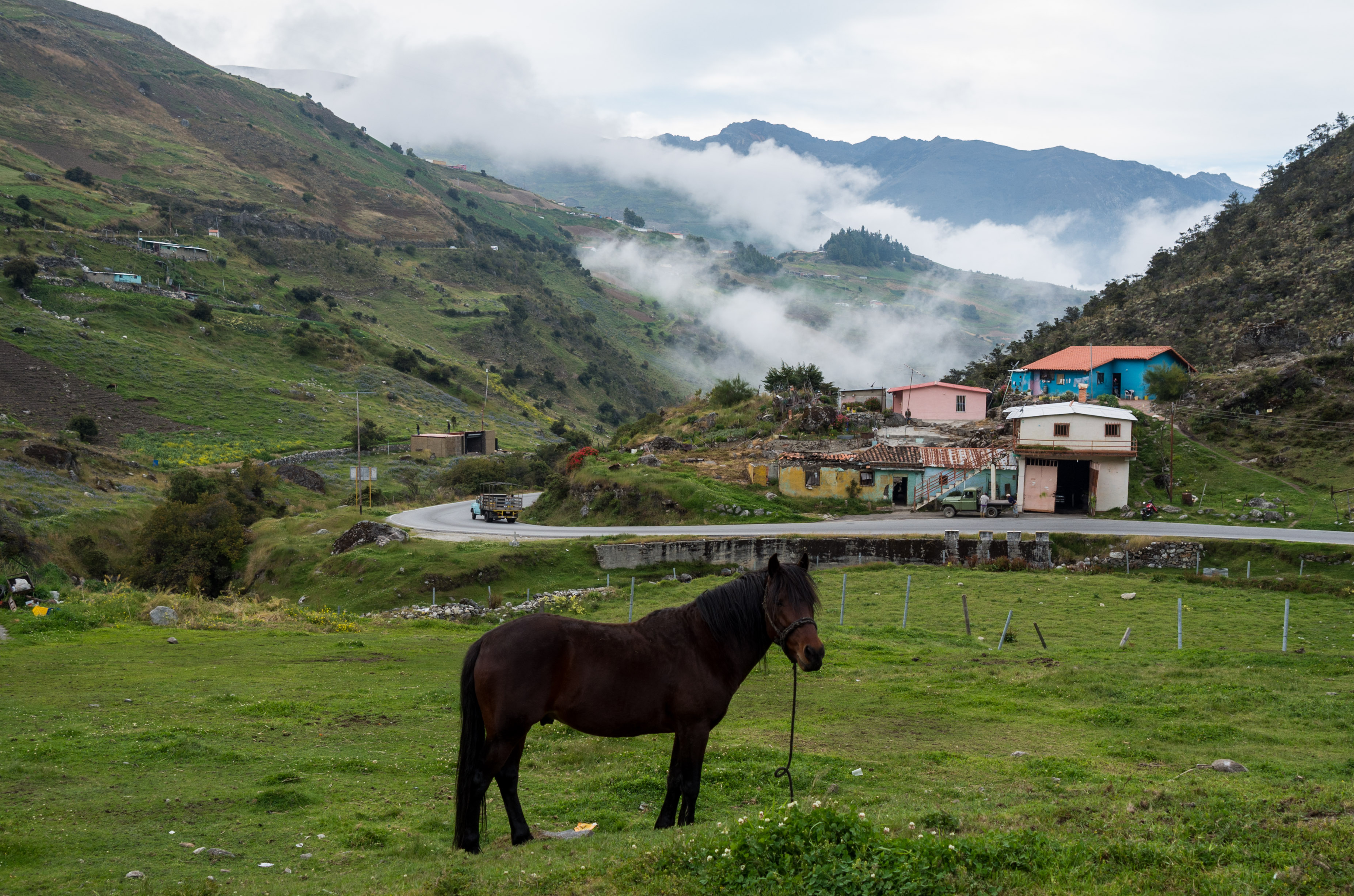
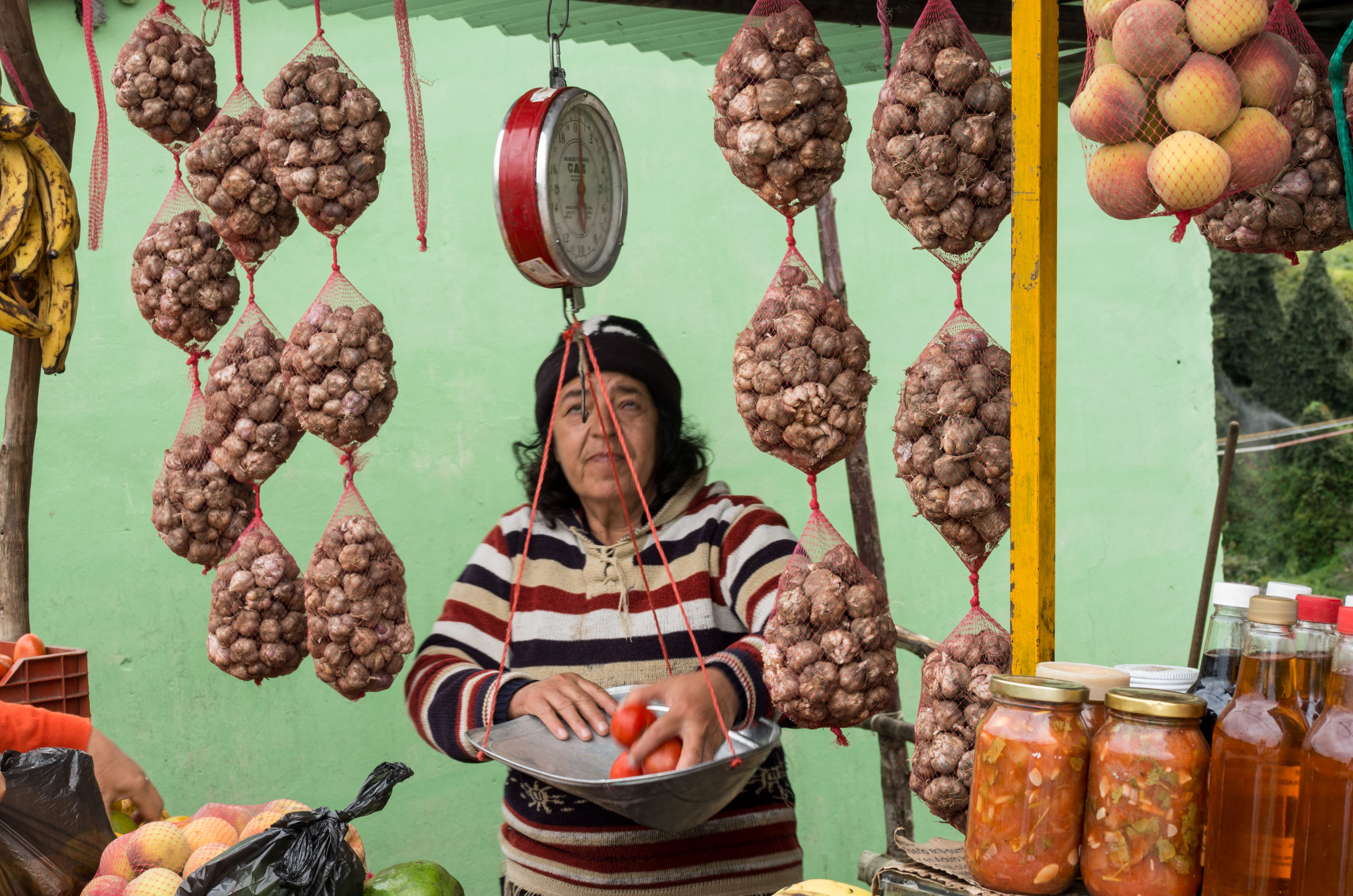
Just below the Páramo level of around 3500m the land is extensively used for agriculture by natives with distinct Adean features, which reminded us of the years we spent in Bolivia. This lady is selling mainly garlic.
 Travelling around 40km further down the valley one reached the city of Mérida, which is located on long streched plain, which has been carved out by two rivers to it´s sides.
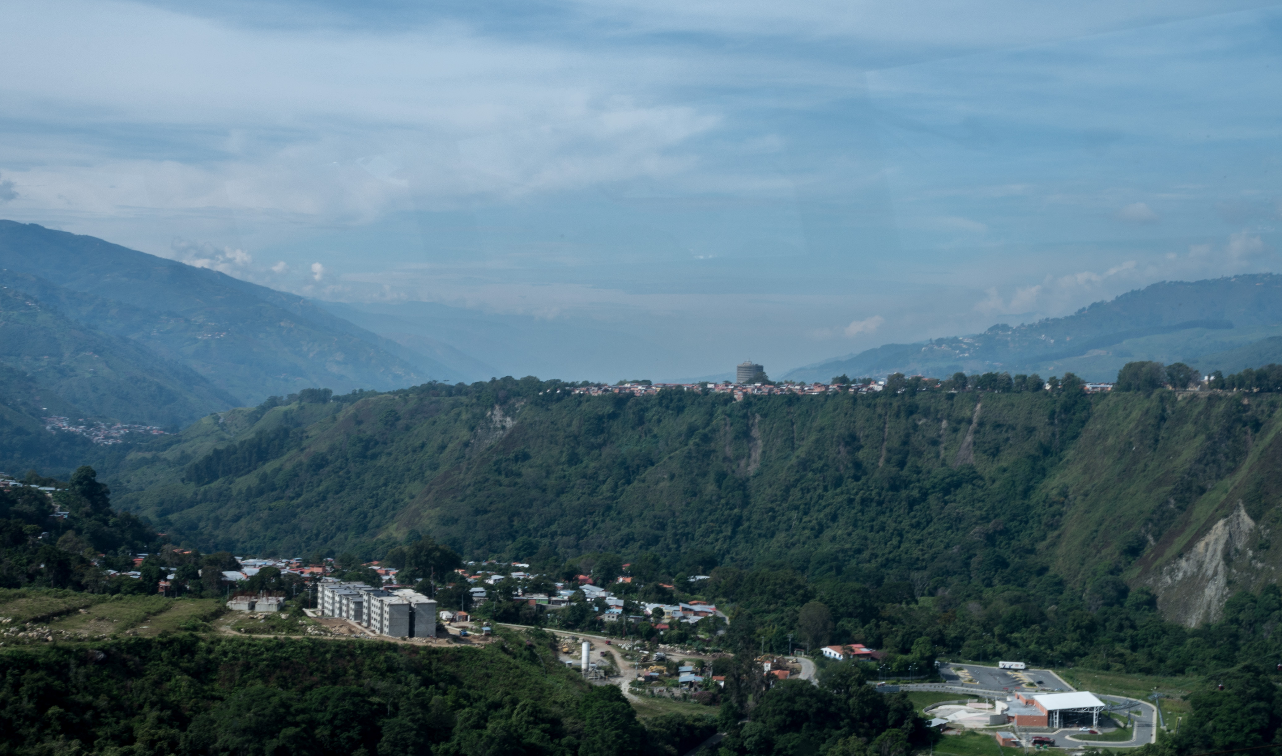 Mérida is the State Capital and has a population of around 300.000.
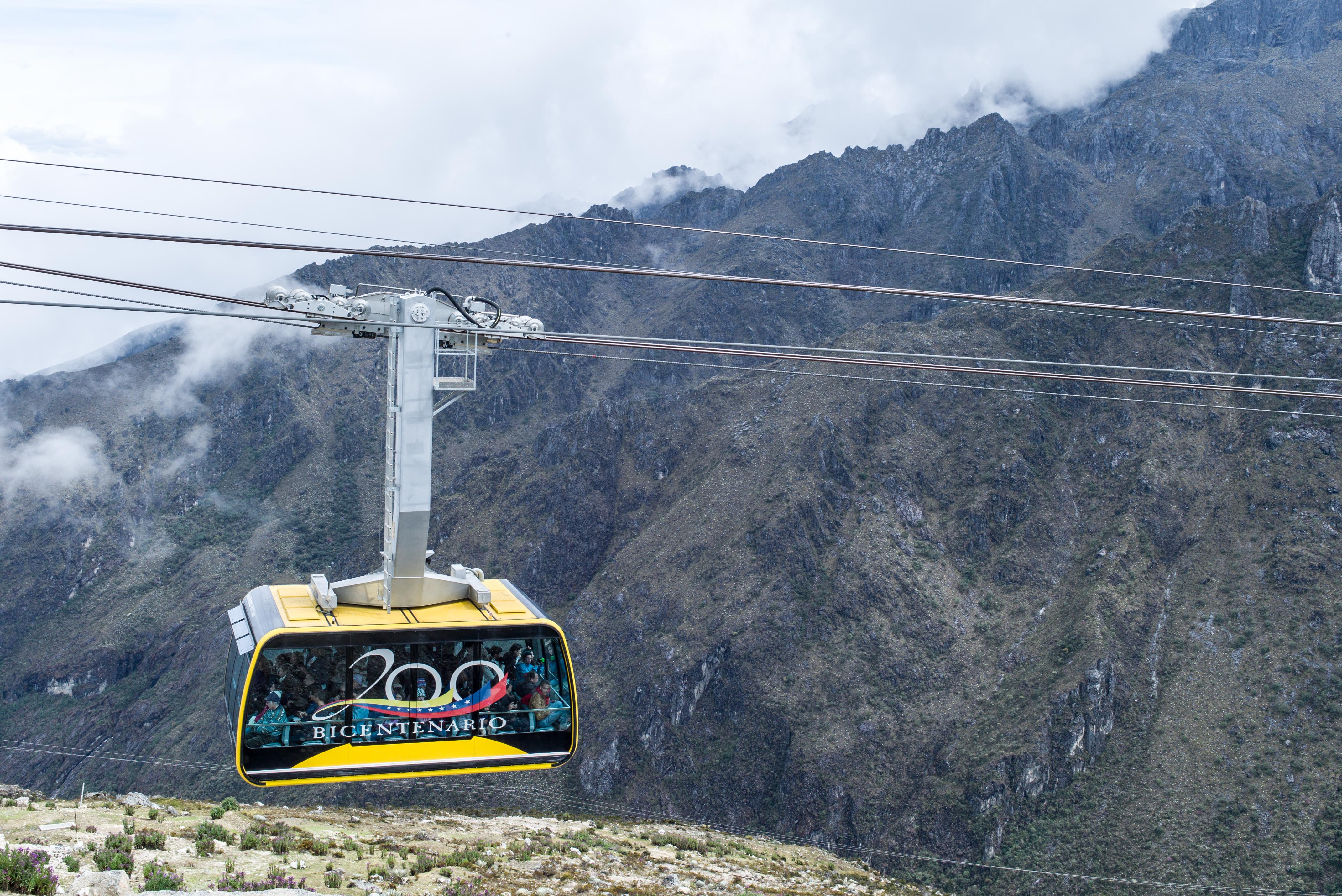
 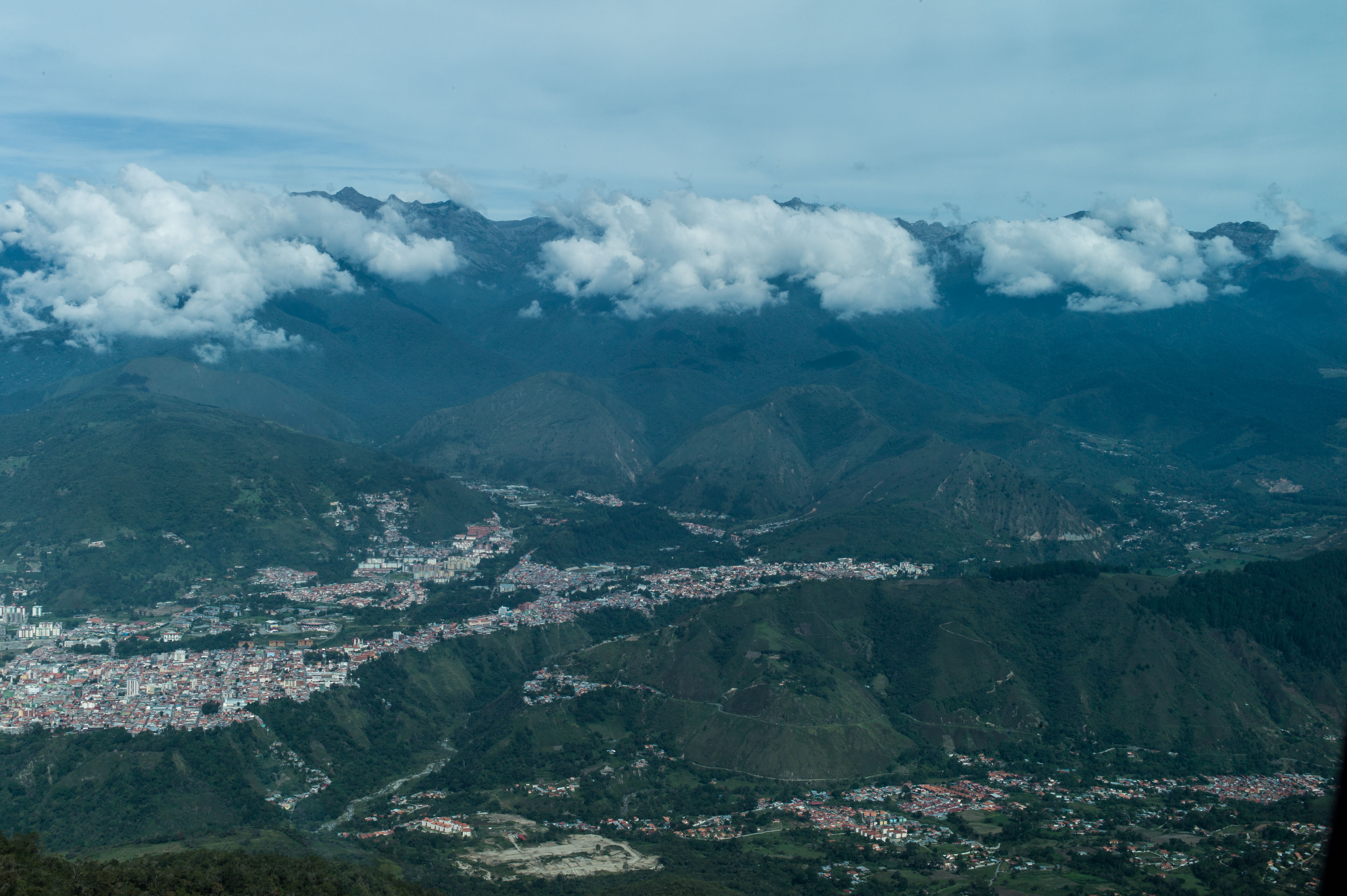 The city is best viewed from the cable car, the famous “Teleférico”, which is considered the highest cable car in the world, as it reaches up to Pico Espejo at nearly 4.800 m.
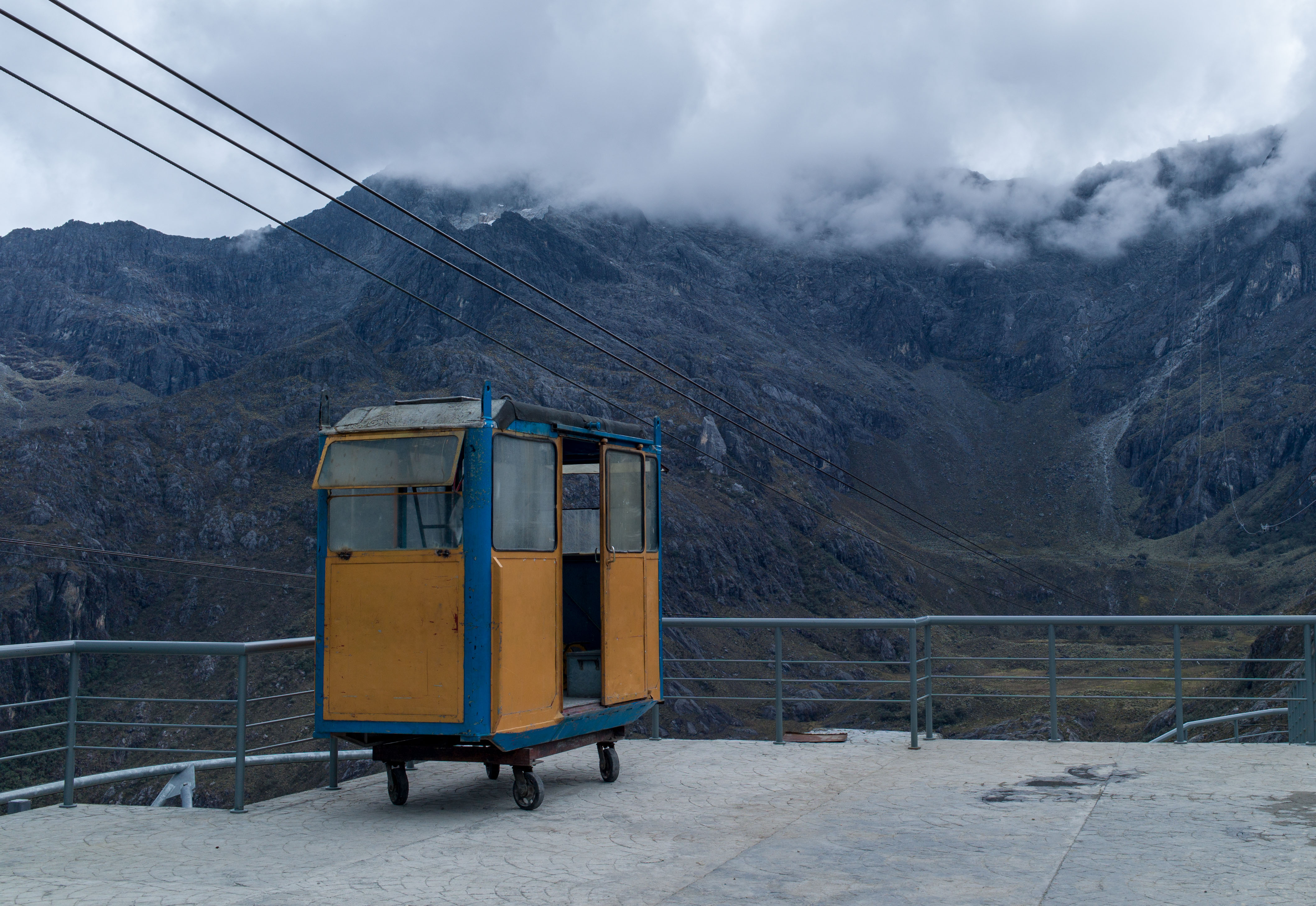
 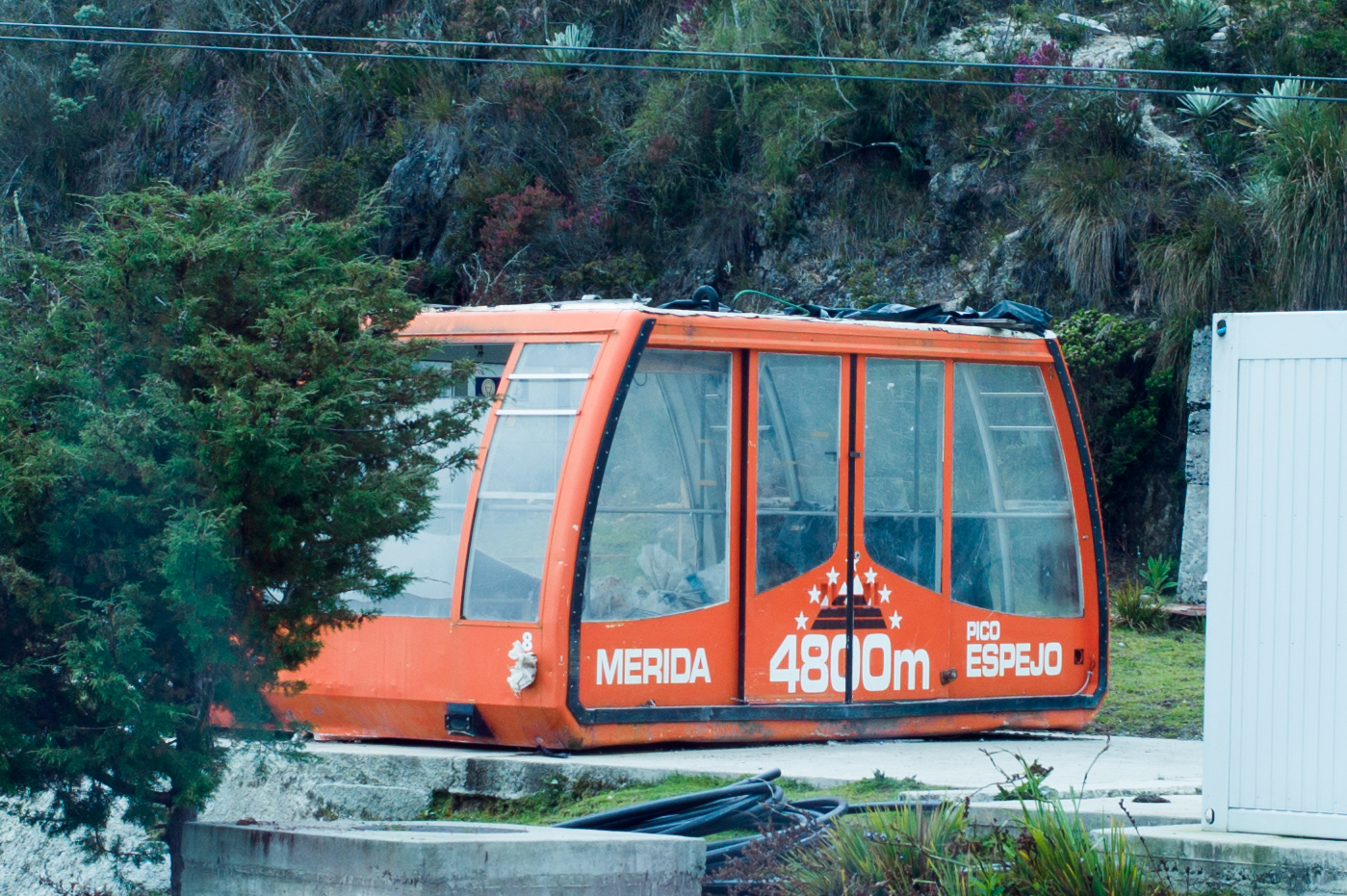 The Teleférico just reopened after year of renovation which left the old cars as souvenirs at the four plattforms where one has to change cars to reach the top.
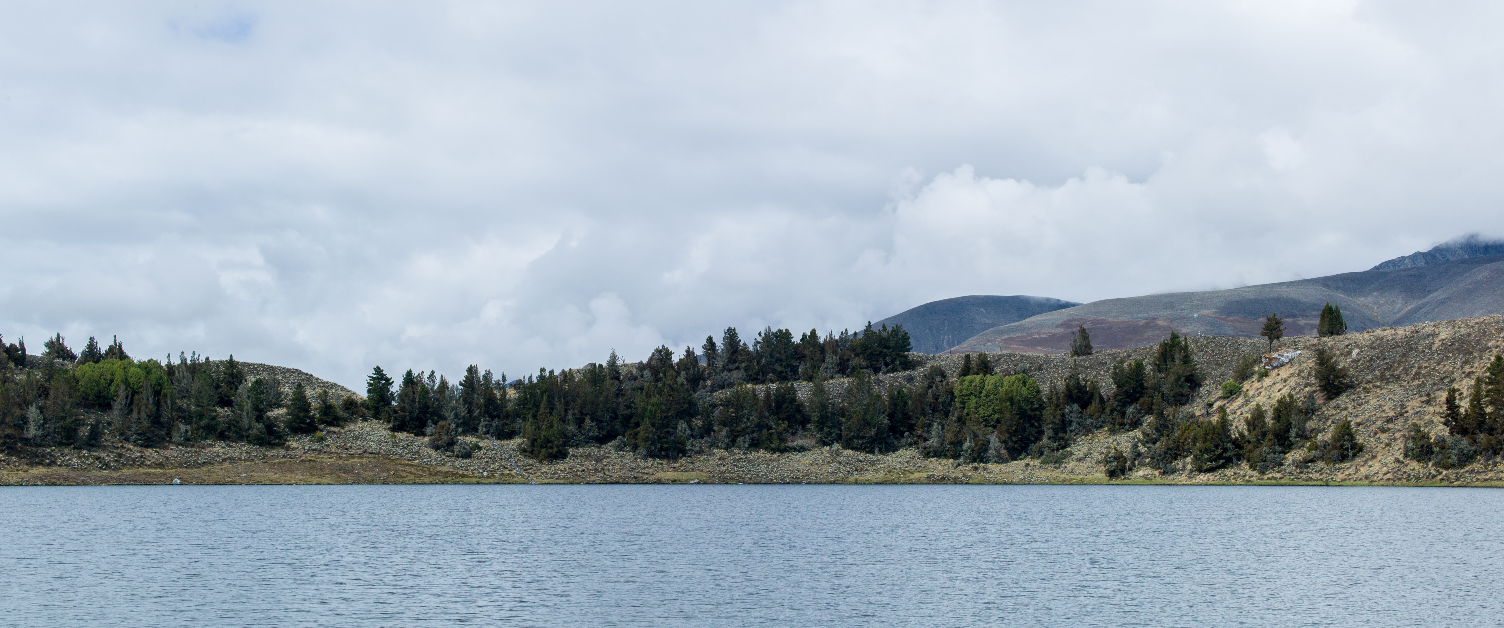
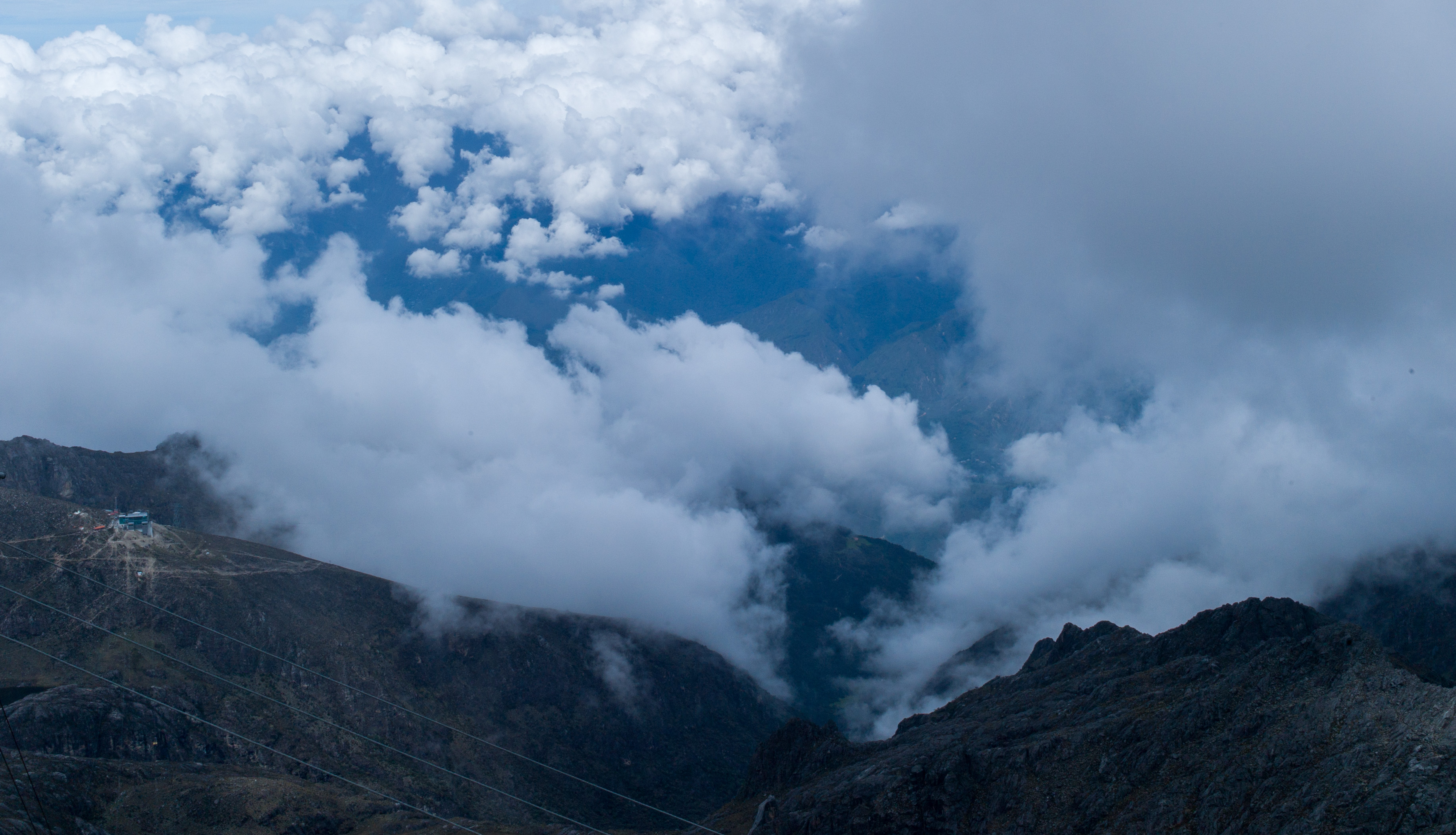
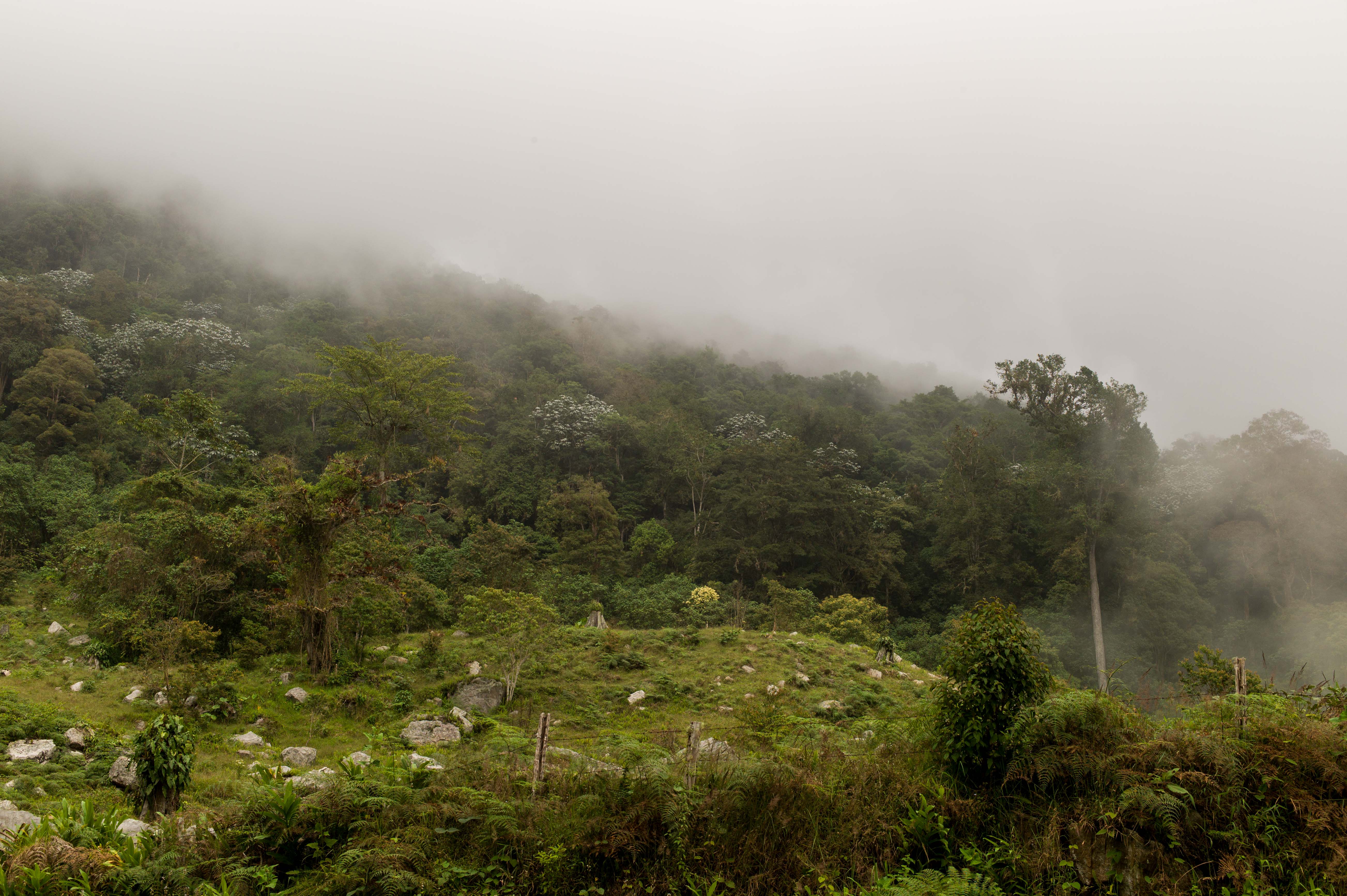
 This time of the year you are most likely in the clouds on the top unless you come very early in the morning. Due to climate change the peak is not covered in snow anymore. Pico Bolivar is close and visible in clear weather.
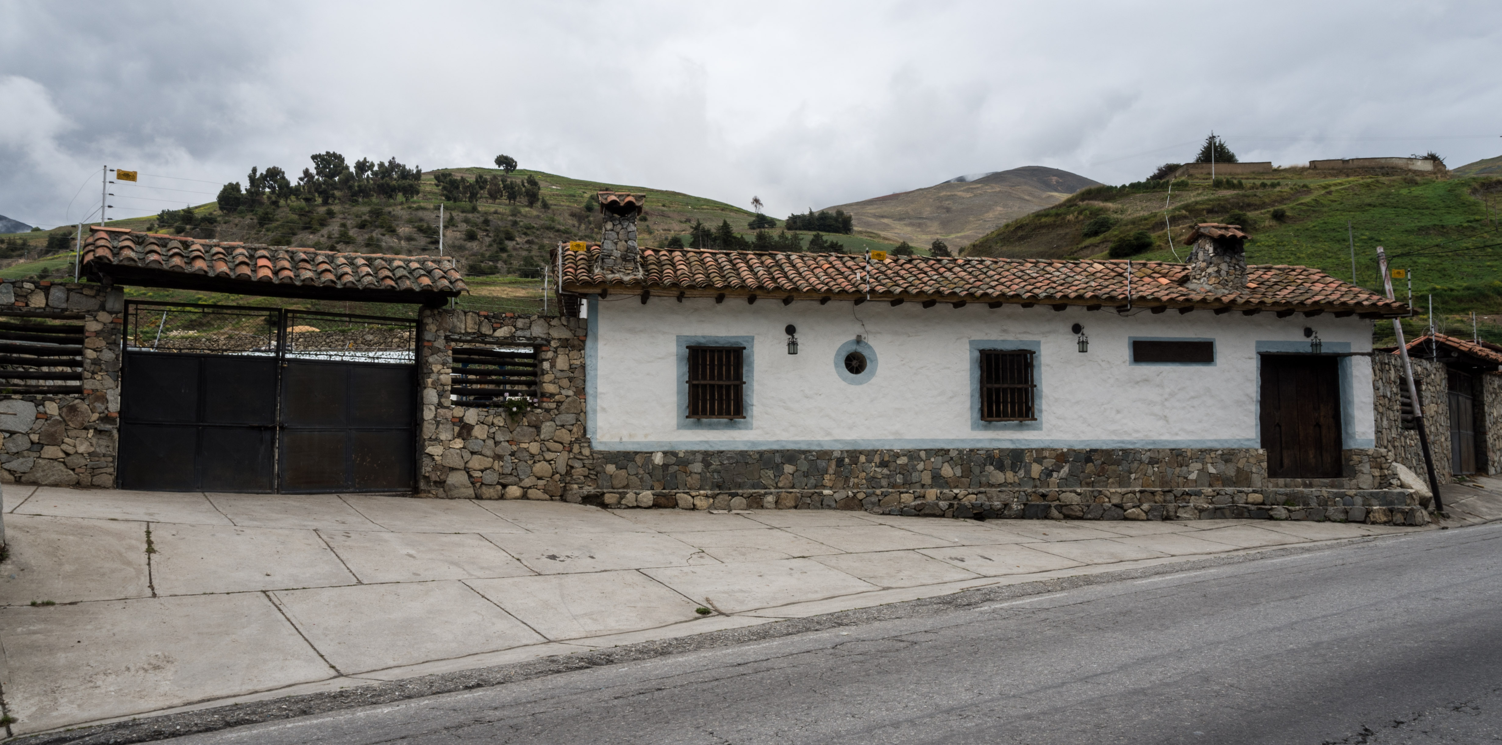
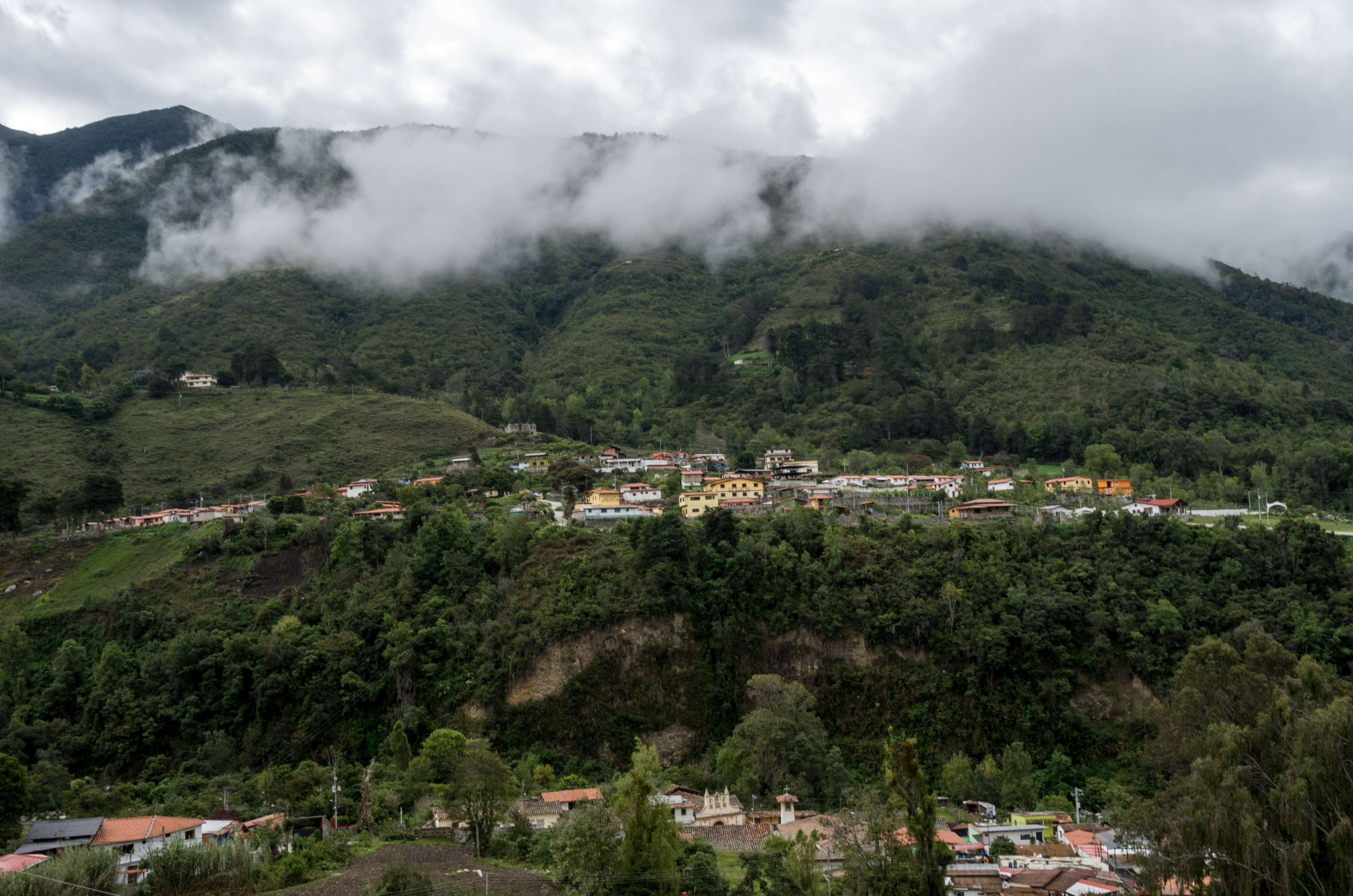
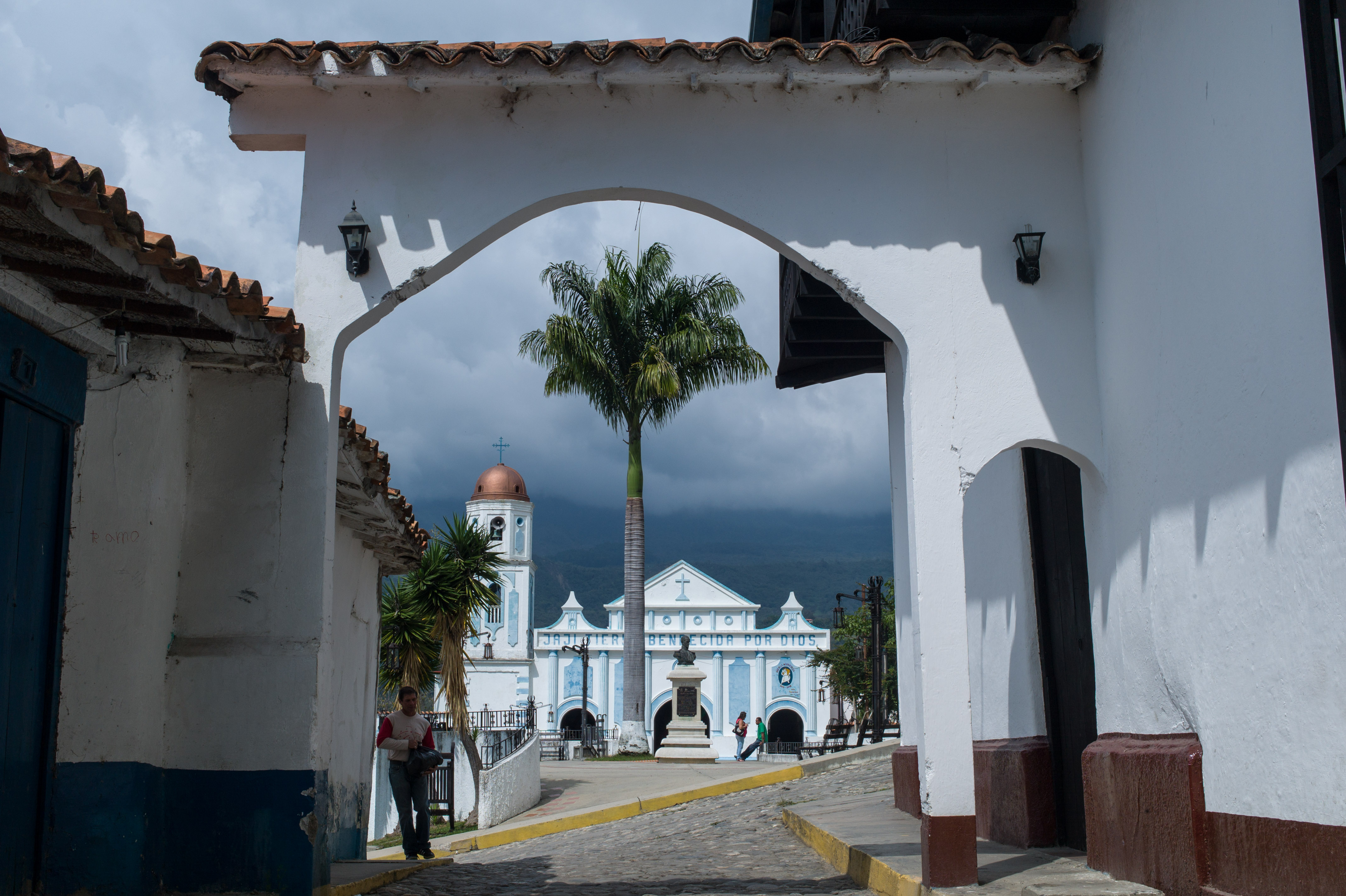
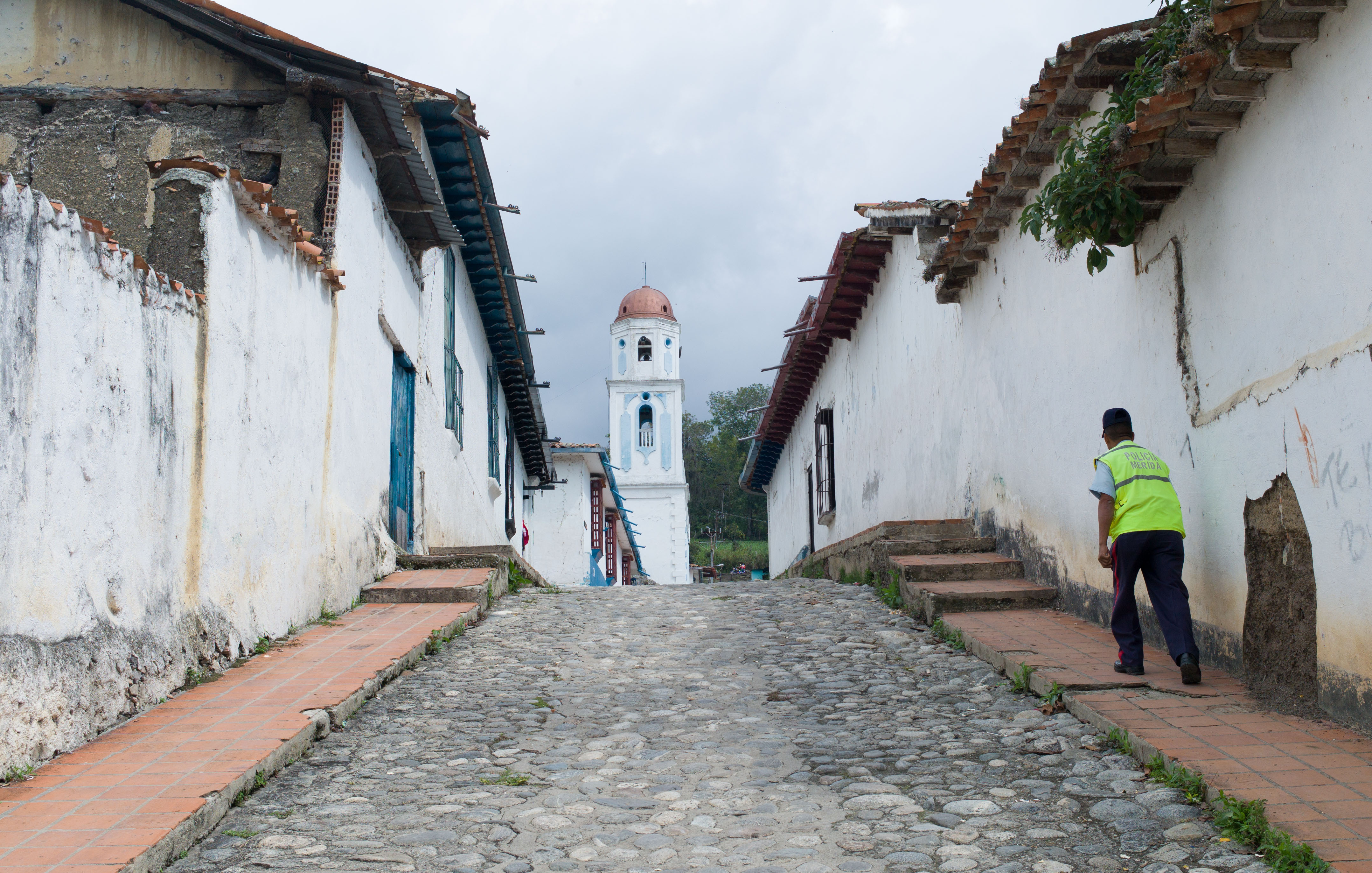
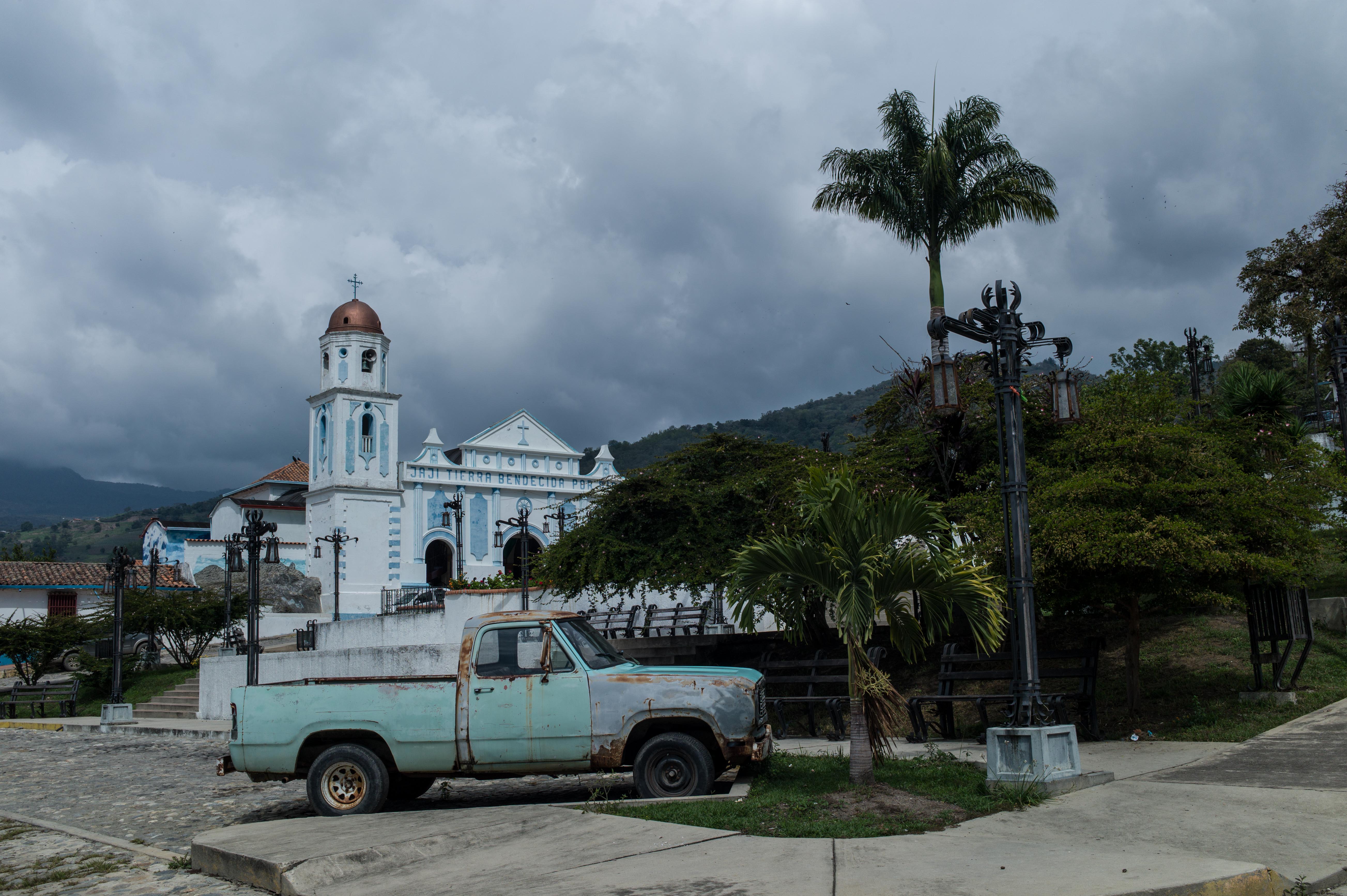
 On the other side of Mérida we further down come to the small village of Jají with 450 inhabitants.
 By accident I passed by the local elementary school with two observations. Distribution of the so called “CLAPS” had just started. Under the socialist government highly subsidized food is distributed to the families who have to be registered. Recipients tell me it is barely enough and that no everybody receives a bag. You might guess who is left out.
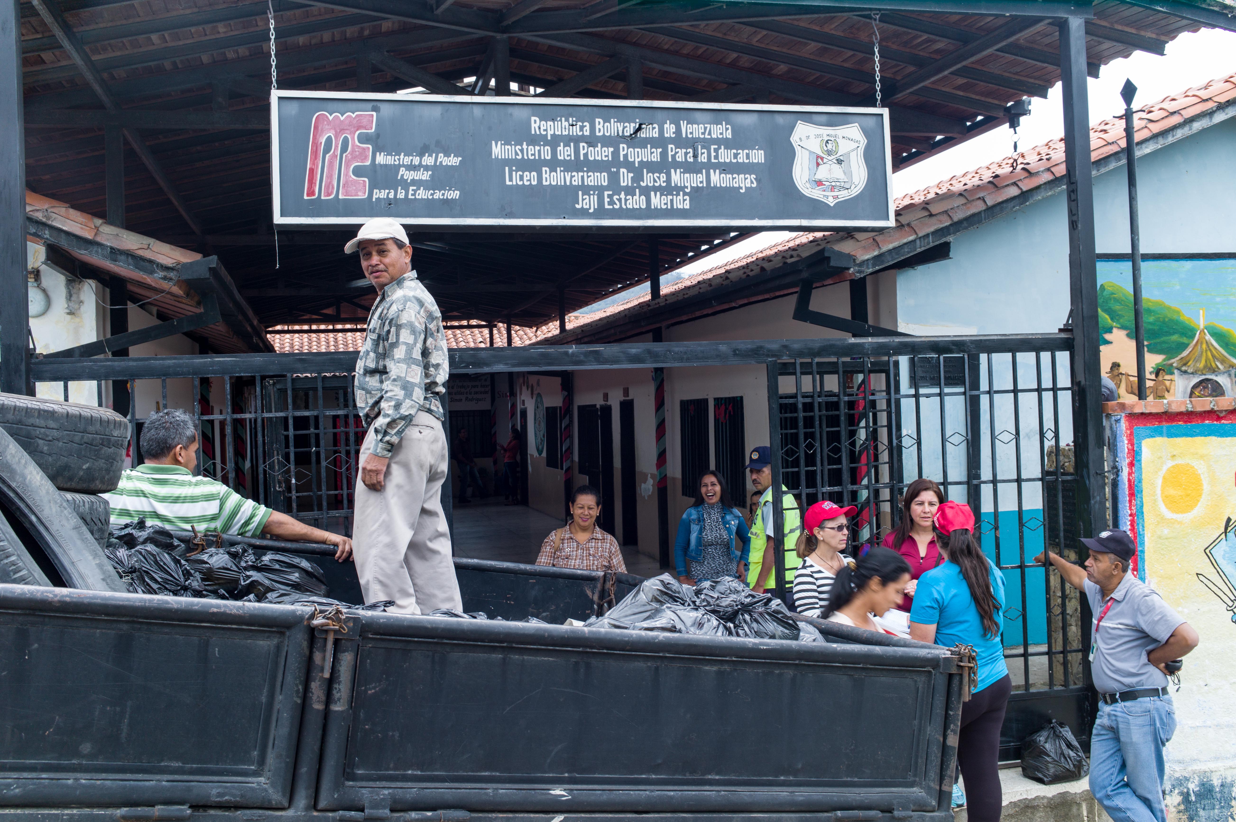
 The second obversation was the chart of the school system. The children, positioned in the middle of the circle, are well taken care of.
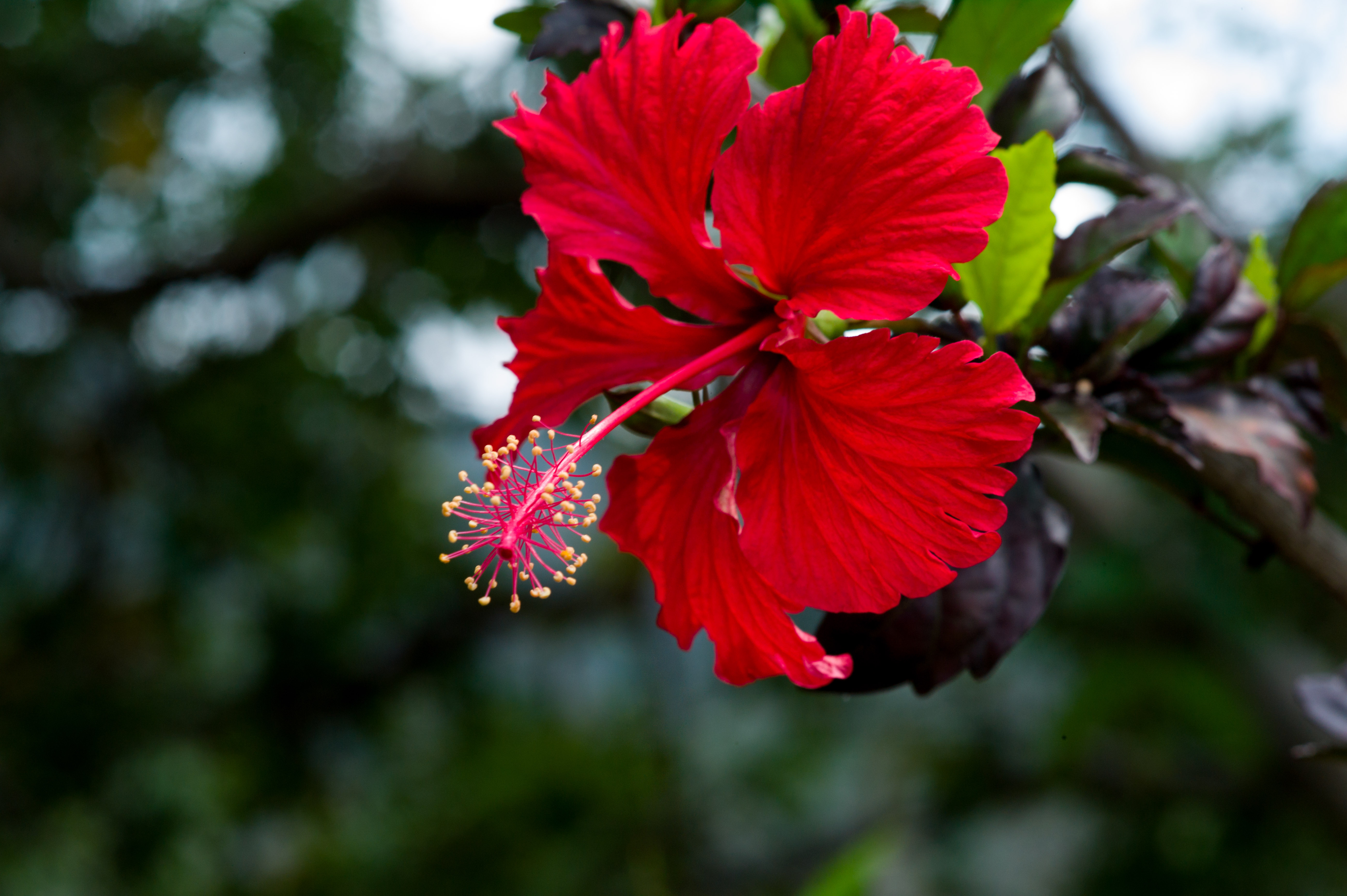
 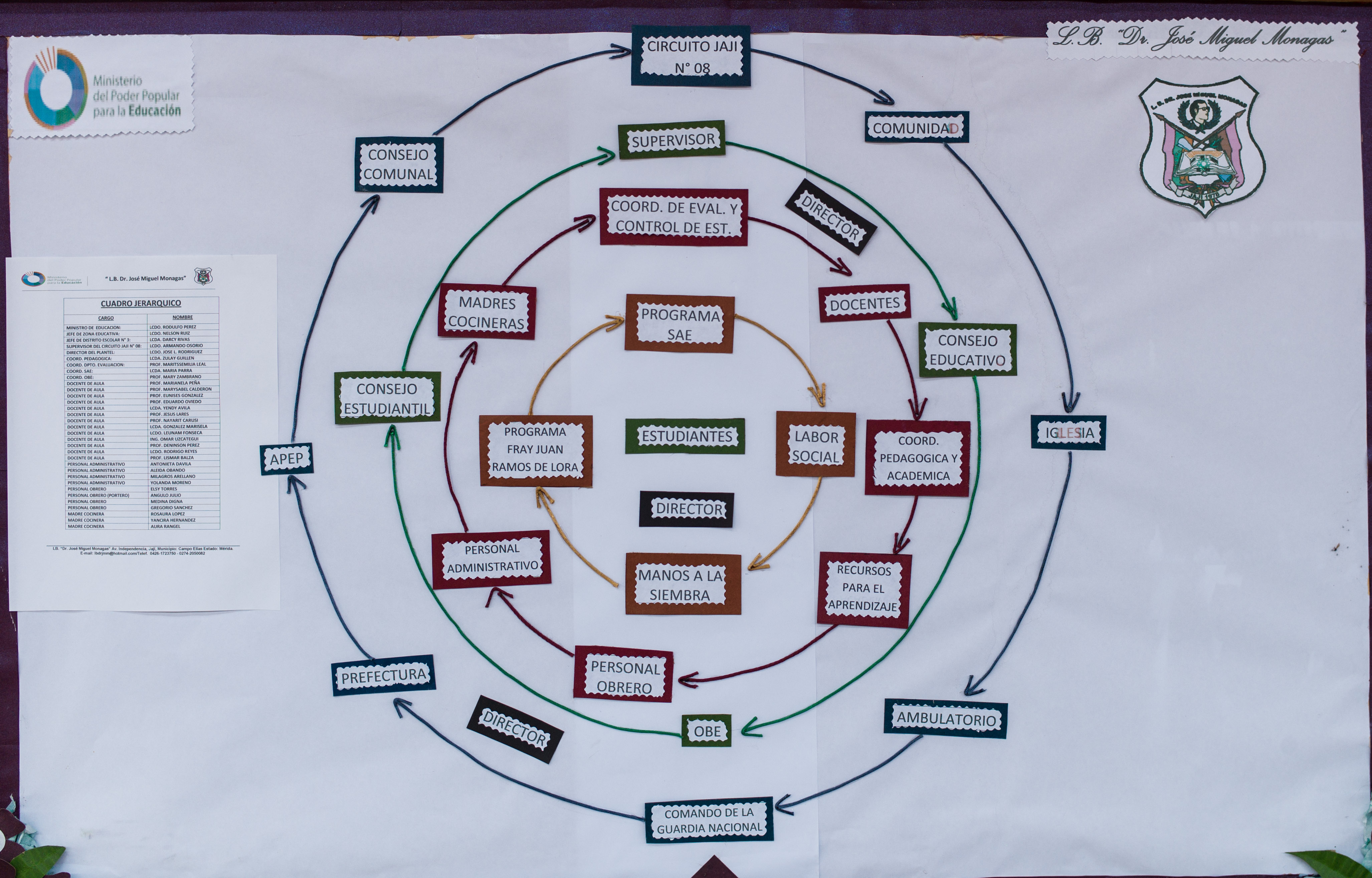 Continuing further southwest and even lower the landscape changes again and it gets more tropical, including the classical orchids on the side of the road.
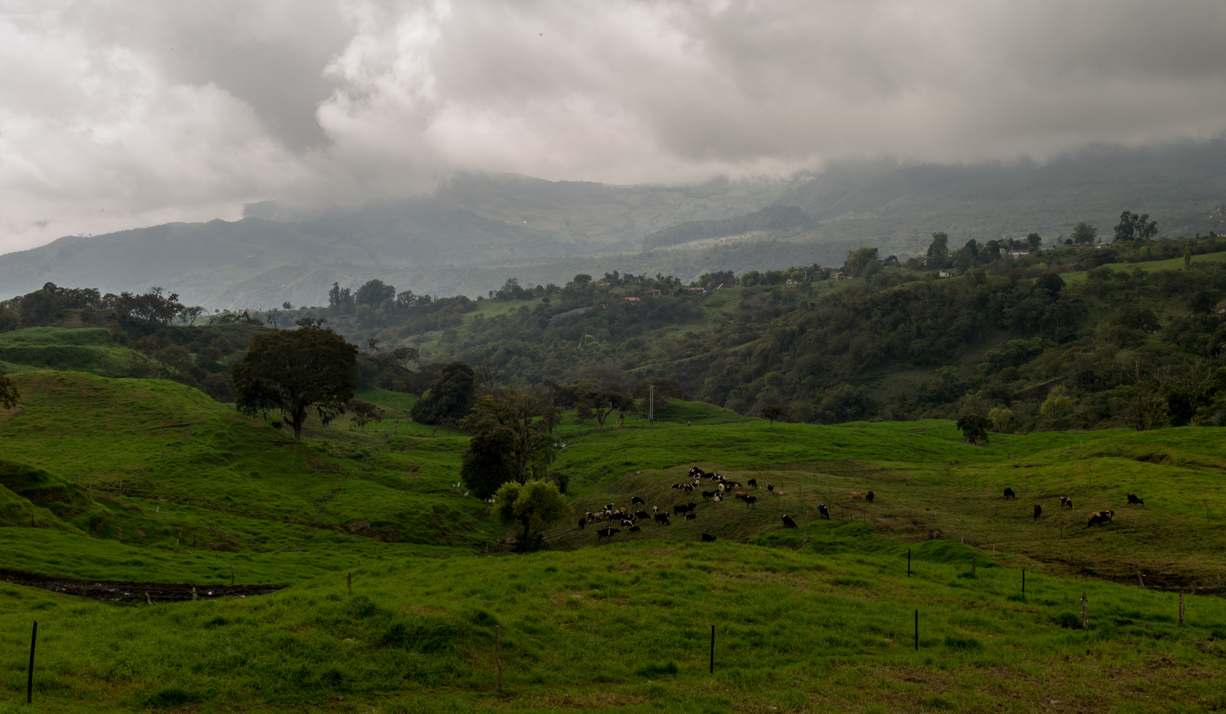
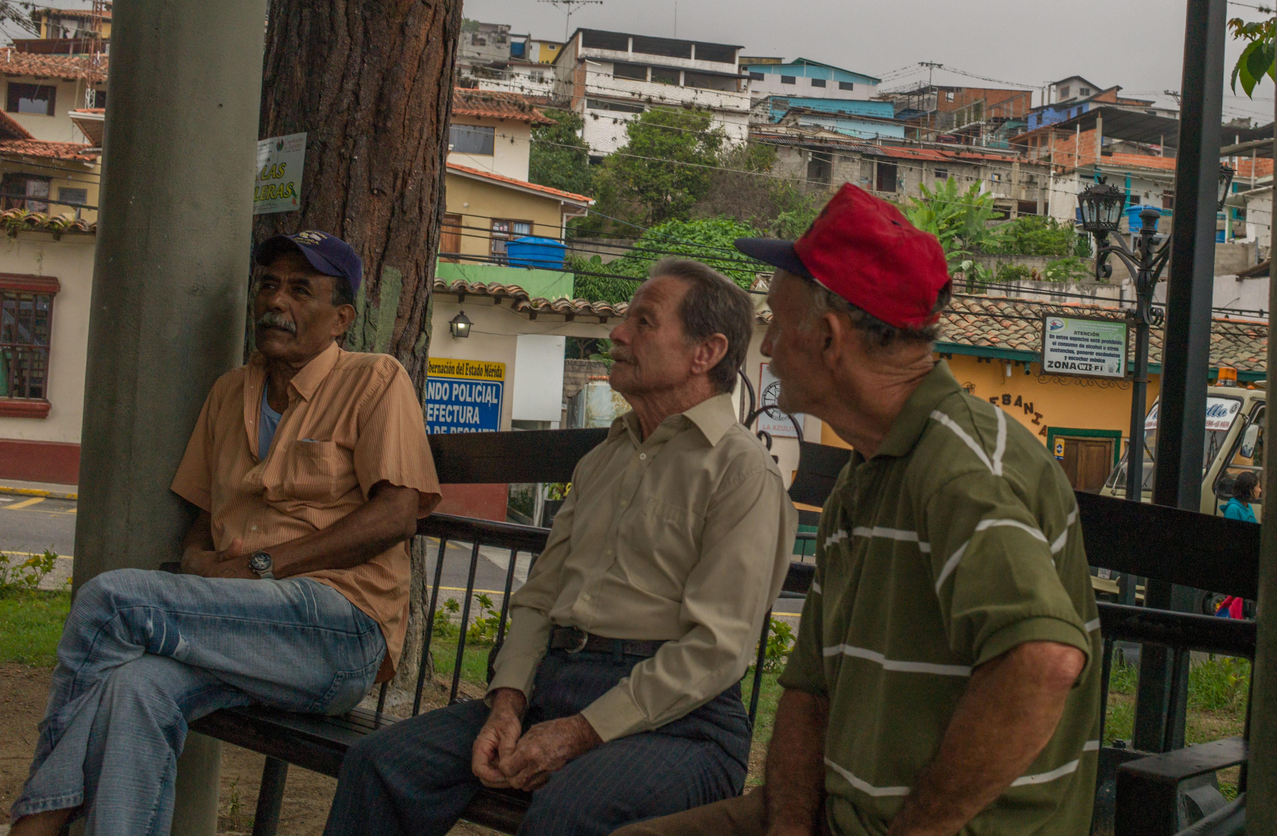
 We then reached the village of La Azulita, which does not have Andean (nor colonial) features anymore, in architecture or people. From here you leave the Andes to reach the Panamerican Highway within an hour.
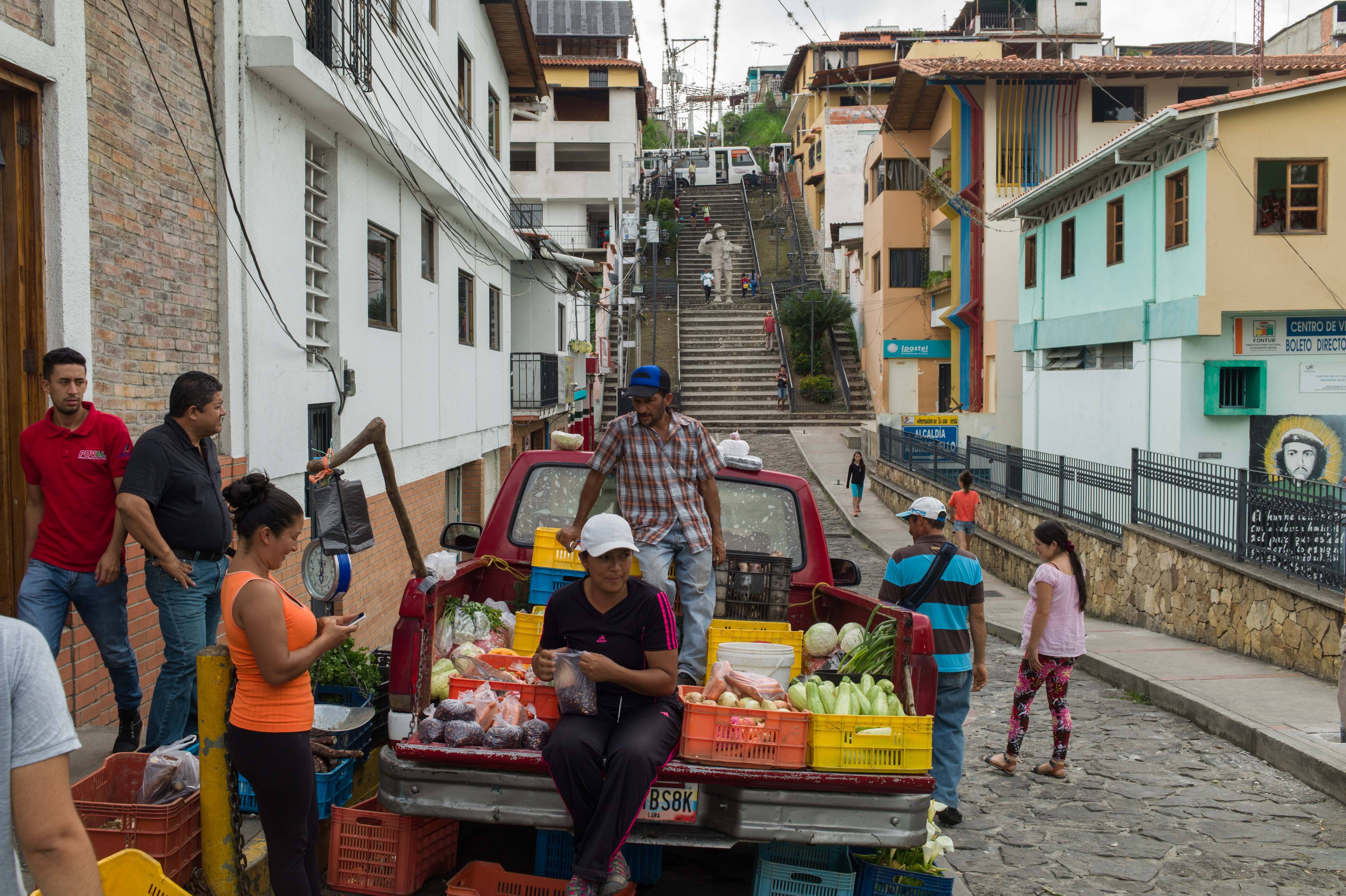
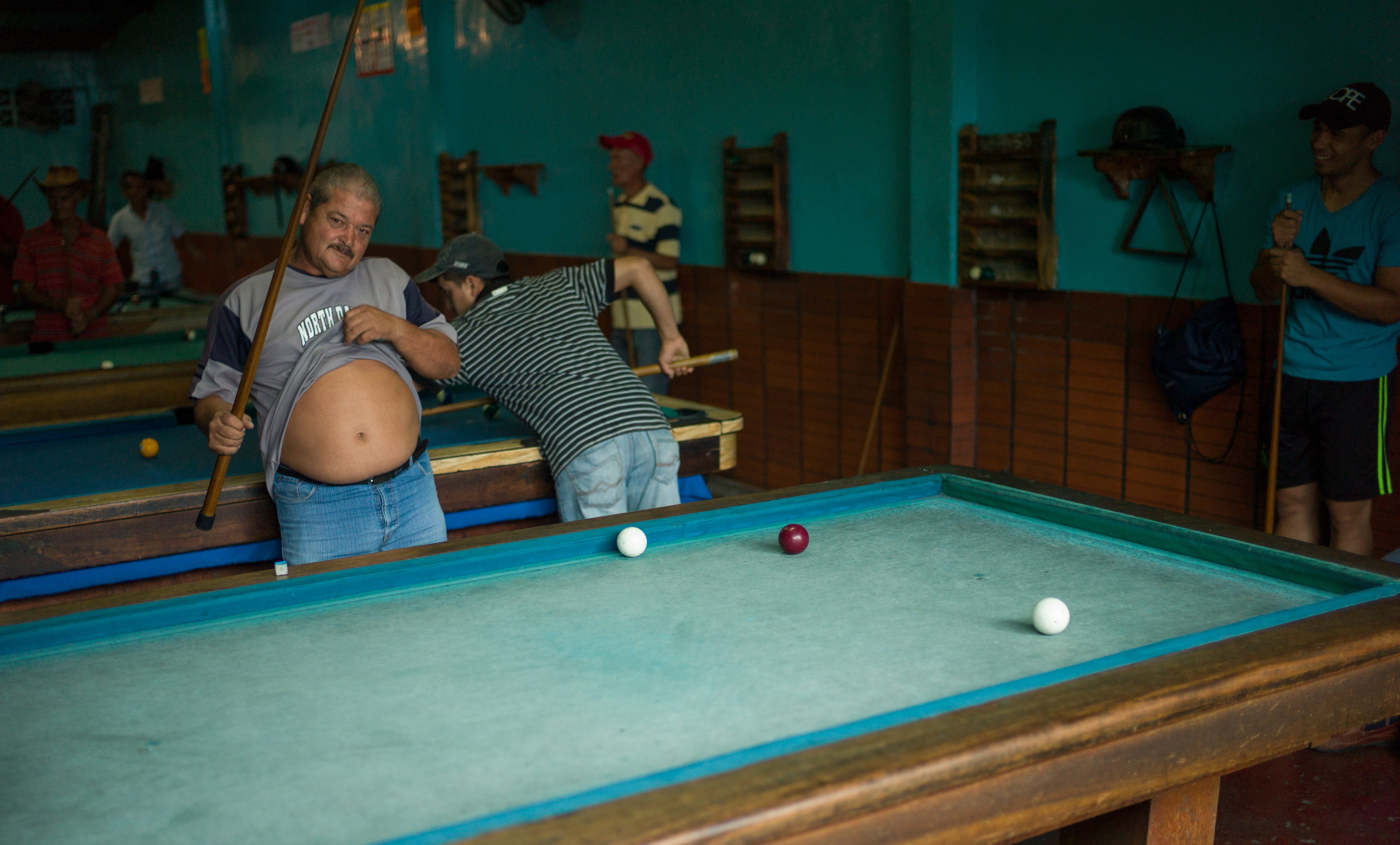
 The people certainly have the carribean humor here…
Leave a Reply