Impressions on Kauai
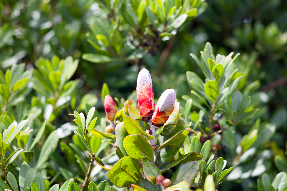
Kauai is called the “Gardenisland” because of it´s wet climate and abundant nature. Some impressions of 4 days on Kauai..
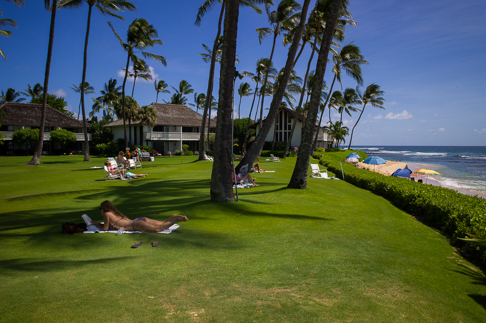
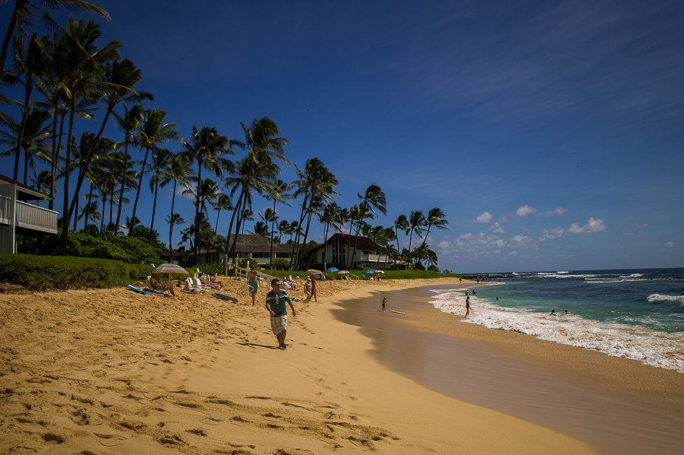
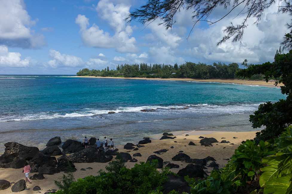
This will not be a blog to cover the highlights of Kauai systematically. We have been driving around 3 days starting from our base, the Kiahuna Plantation on Poipu Beach. Poipu is in the southern part of the island and is supposed to have the calmest beach on Kauai. But I will not cover beach life, just a brief glimpse on the location.
The most striking impression once you arrive to Kauai is that there are no tall buildings on the whole island. What a nice discovery after Tokyo and Honolulu.
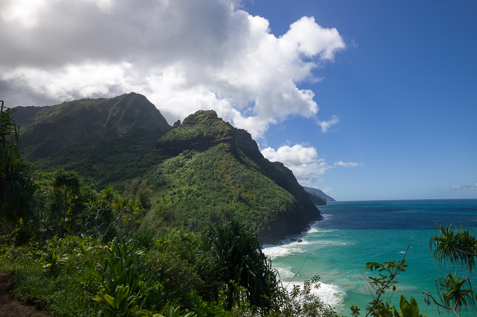
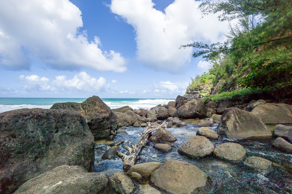
Next morning we headed to the north shore, all the way up to Ke´e Beach. It is a dead end street, as Kauai does not have a road going all around the island. Close to the beach starts the Kalalau Trail which on it´s first part leads you to the Hanakapi´ai Beach. It is a 4 hour hike (both ways) and well worth to experience the vegetation of the island.
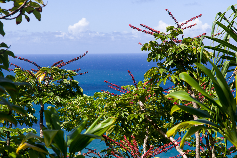

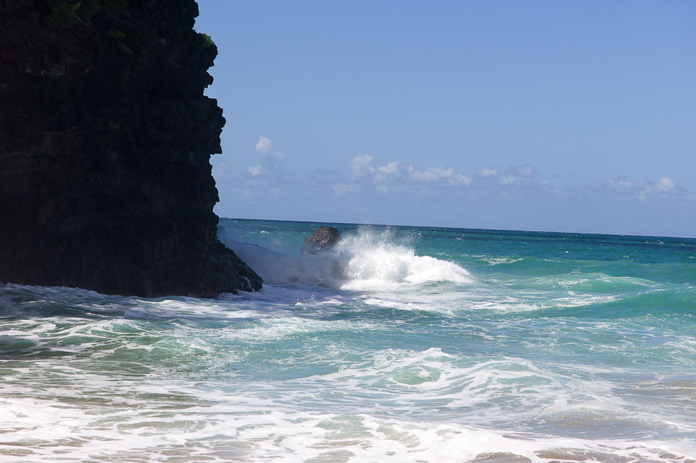
The beach is quite rocky and the ocean was a little rough. The Hanakakpi´ai river flows into the sea at this point. I do not post a picture of the 20-30 hikers who were on the beach at the same time to keep the illusion of untouched nature…
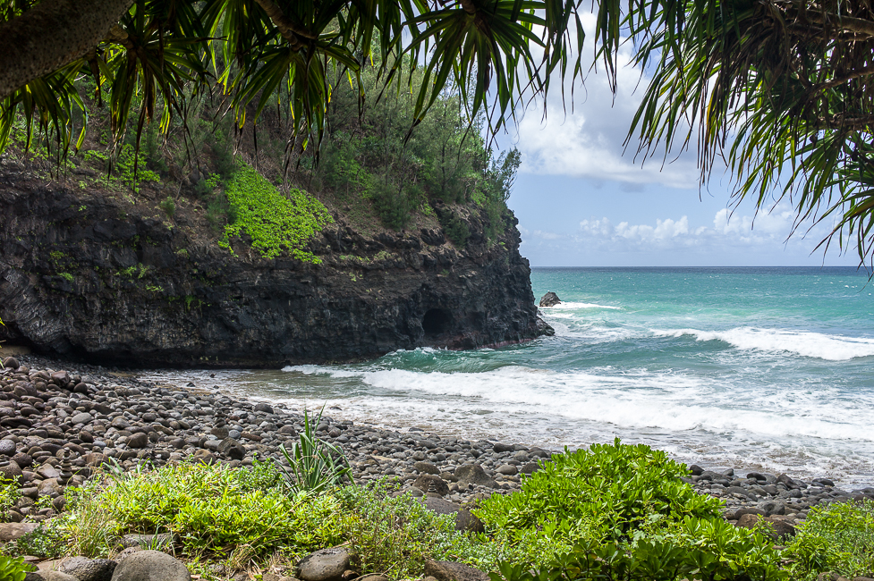
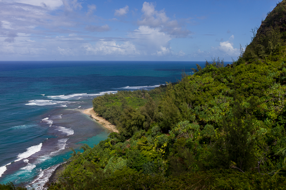
On the way back the view down to Ke´e Beach.

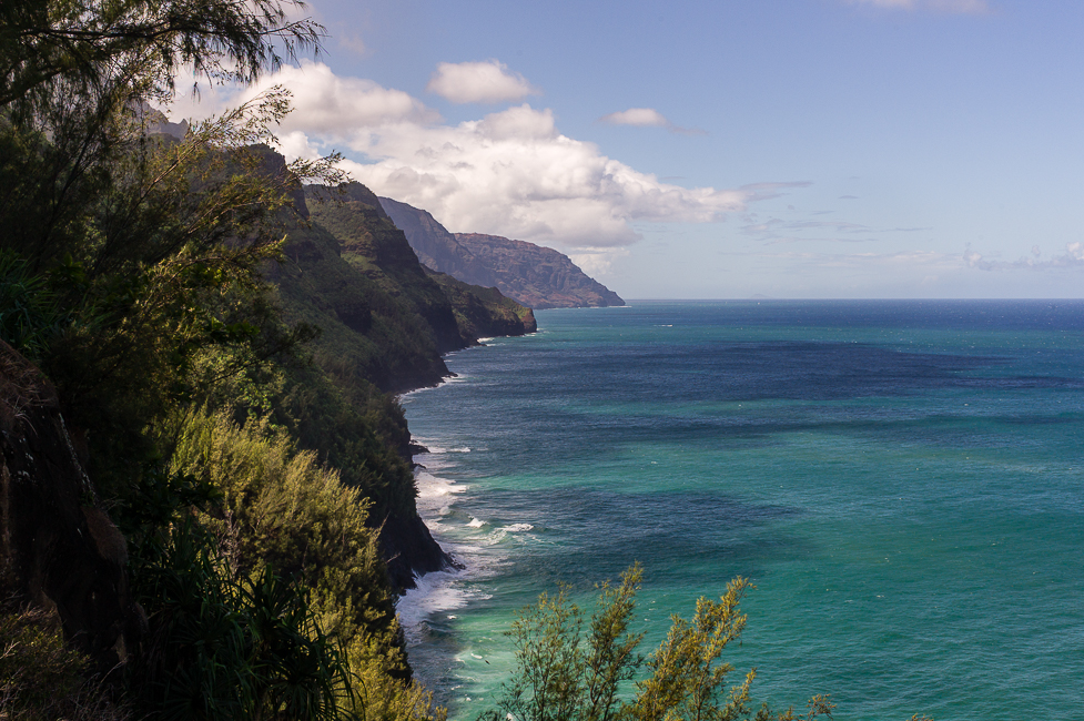
The center on north shore is Princeville, a huge development with golf course and houses. It could be located anywhere else in the US and has no local touch to it. We passed Princeville and encountered numerous beaches on the way, in different sizes and shapes, some with vulcanic stones as ornaments.
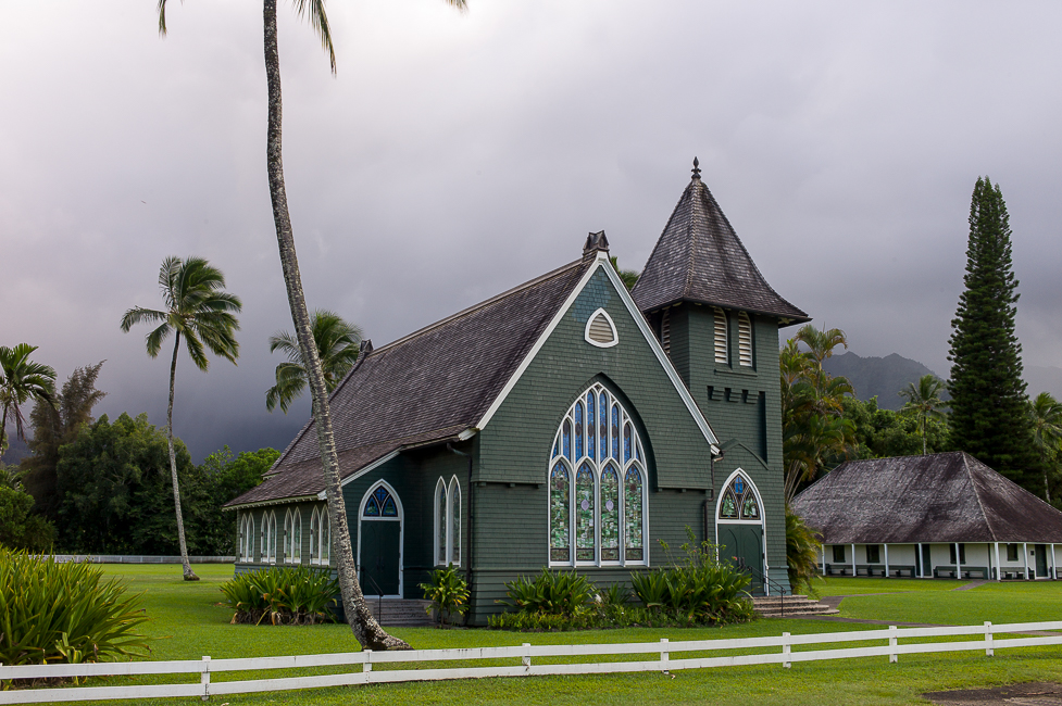
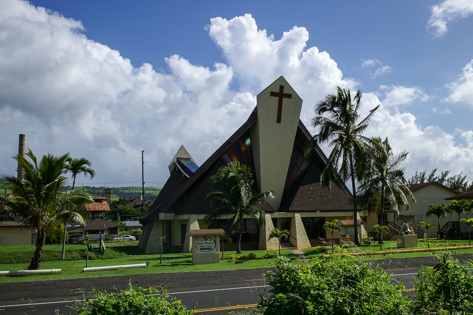
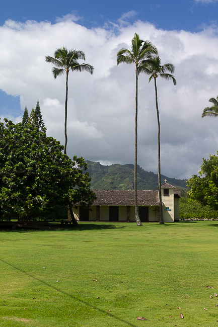
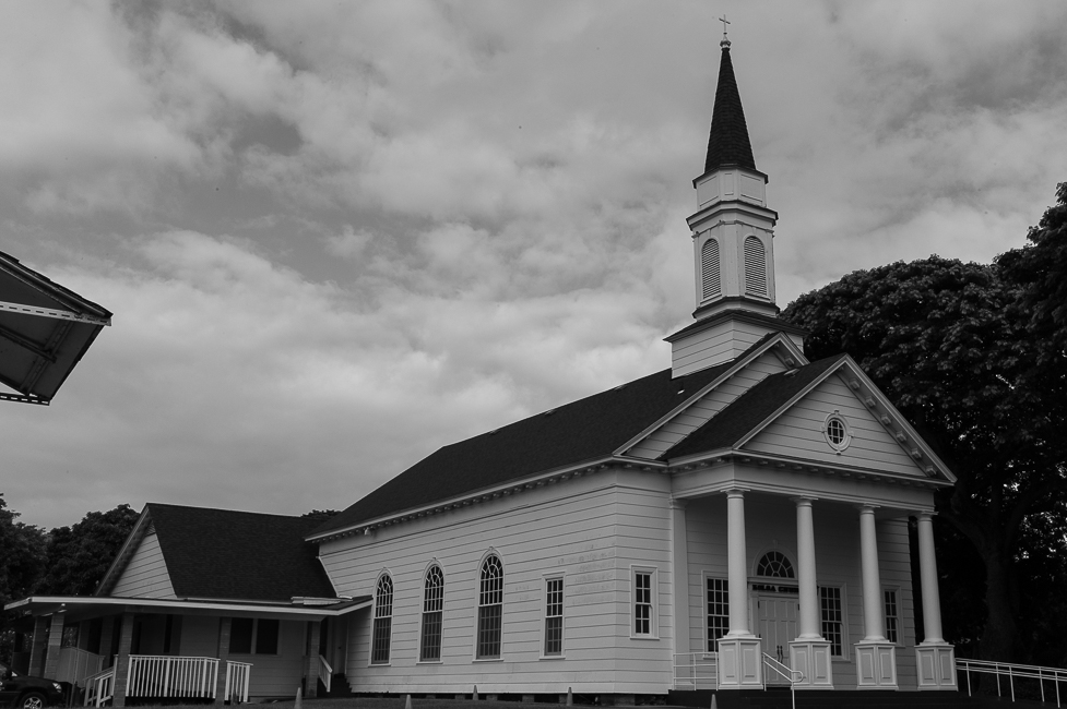
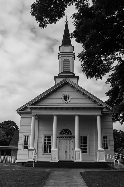
And on the other side of the road there are many churches, witness to the missionary efforts centuries ago.

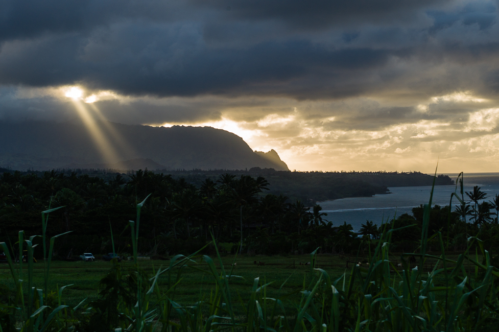
The street climbed up the hills away from the coast and gave us beautiful views on the hilly landscape. And heavens door opened like a flashlight.
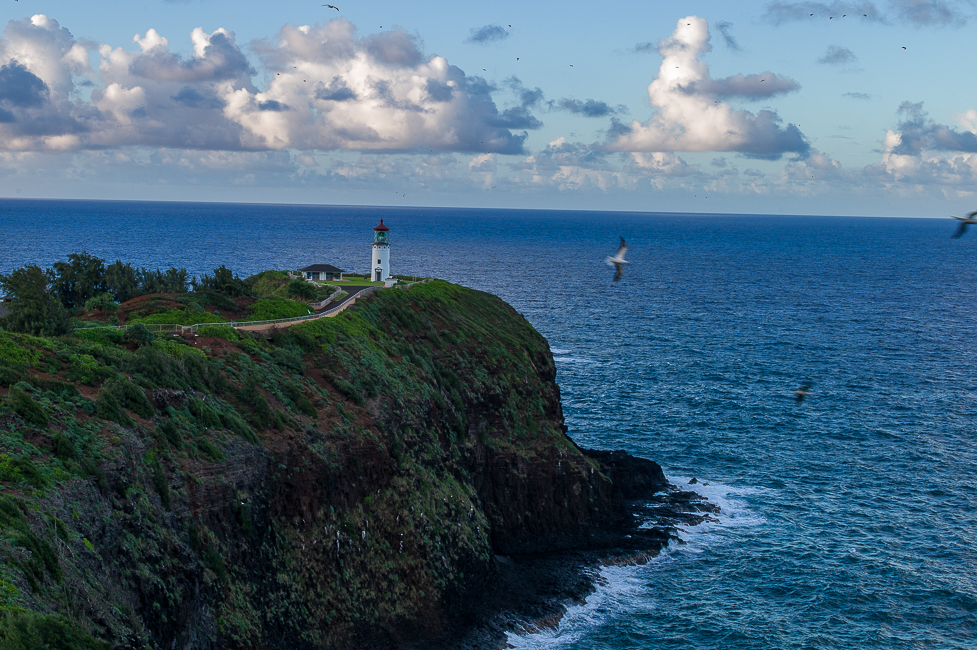
We finished the day with a stop at the Kilauea lighthouse.
The next morning we headed west to the Waimea Canyon State Park. The waimea canyon is the scenic highlight of Kauai. The canyon is 16km long and 762m above sea-level.
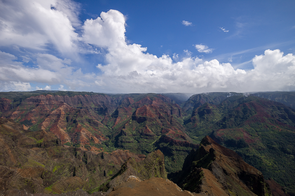

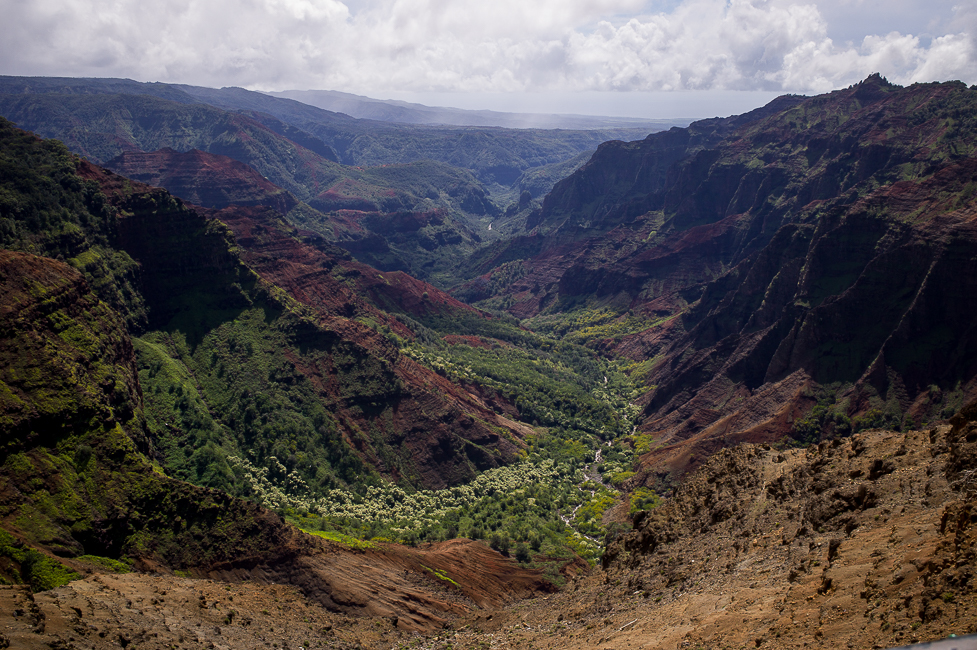
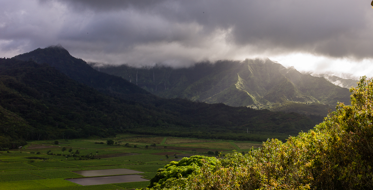
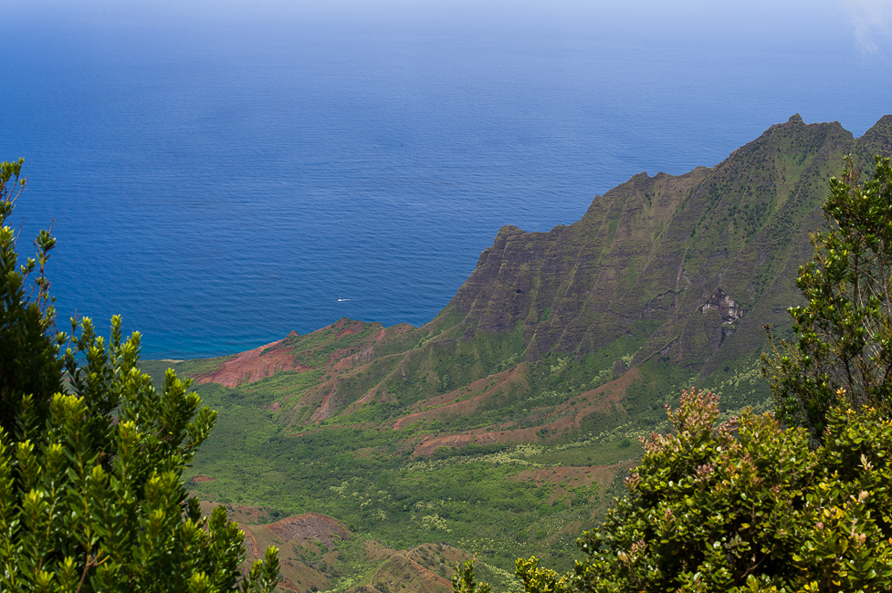
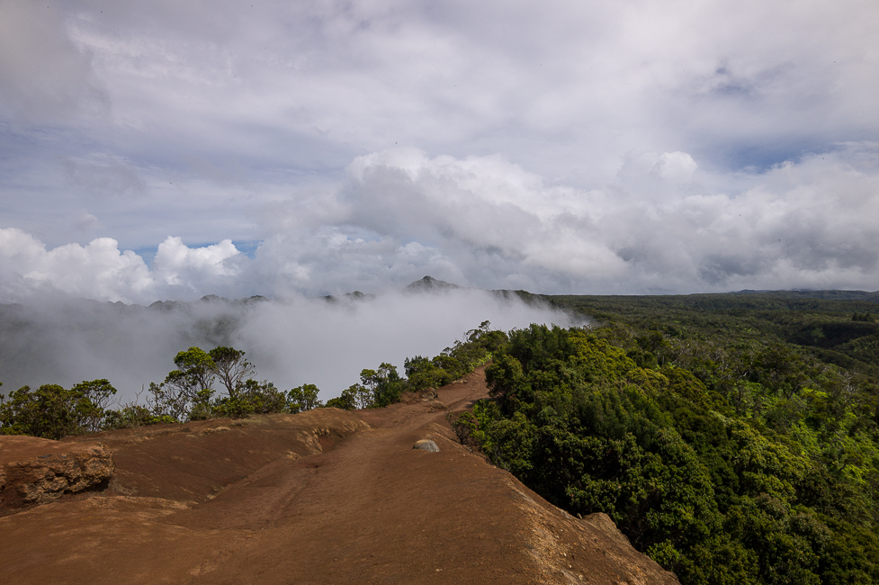
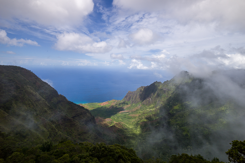
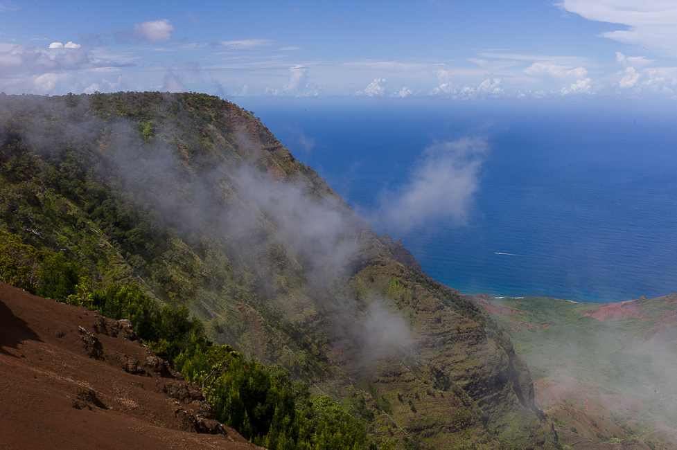
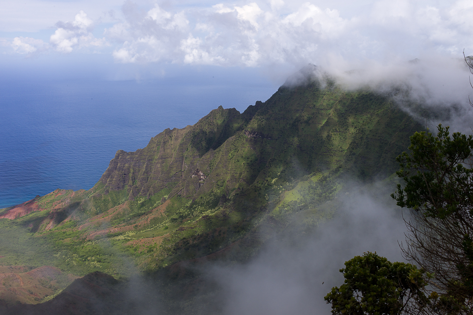
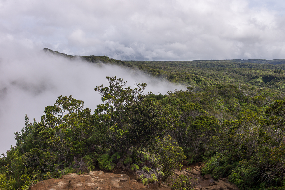
The street continues into the Koke´e State Park and ends at the Pu´u o Kila Lookout.This is one of the most jaw dropping lookouts on the island; a panoramic view into Kalalau Valley towards the ocean and scenic views overlooking the Alakai Swamp (the highest swamp in the world). The swamp that stretches out into the inner part of the island is the wettest place on earth, ending at the summit of Waialeale.
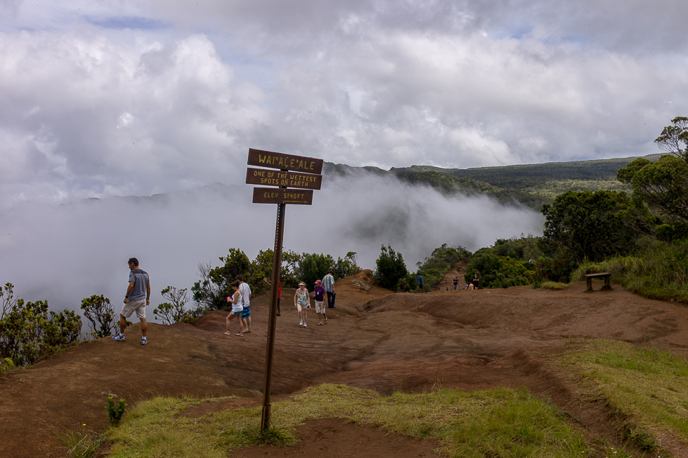
Several factors give the summit of Waiʻaleʻale more potential to create precipitation than the rest of the island chain:
Its northern position relative to the main Hawaiian Islands provides more exposure to frontal systems that bring rain during the winter. It has a relatively round and regular conical shape, exposing all sides of its peak to winds and the moisture that they carry.Its peak lies just below the so-called trade wind inversion layer of 1,800 m, above which trade-wind-produced clouds cannot rise.And most importantly, the steep cliffs cause the moisture-laden air to rise rapidly – over 910 m in less than 800m – and drop a large portion of its rain in one spot, as opposed to spreading the rain out over a larger area if the slope were more gradual.
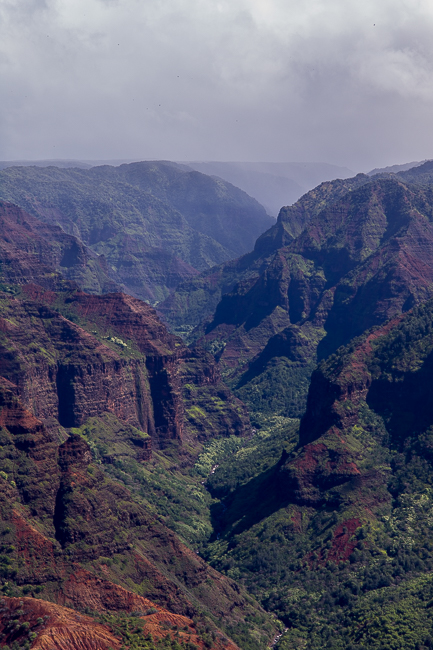
Clouds were constantly moving in and out of the valley. If the wind is blowing from the land towards the ocean, the clouds will usually enter the valley and fall (thus disappearing into the warm air below). However, if the wind is blowing from the ocean inland, the clouds will bank up inside the valley and not dissipate but rather thicken into cloud soup.

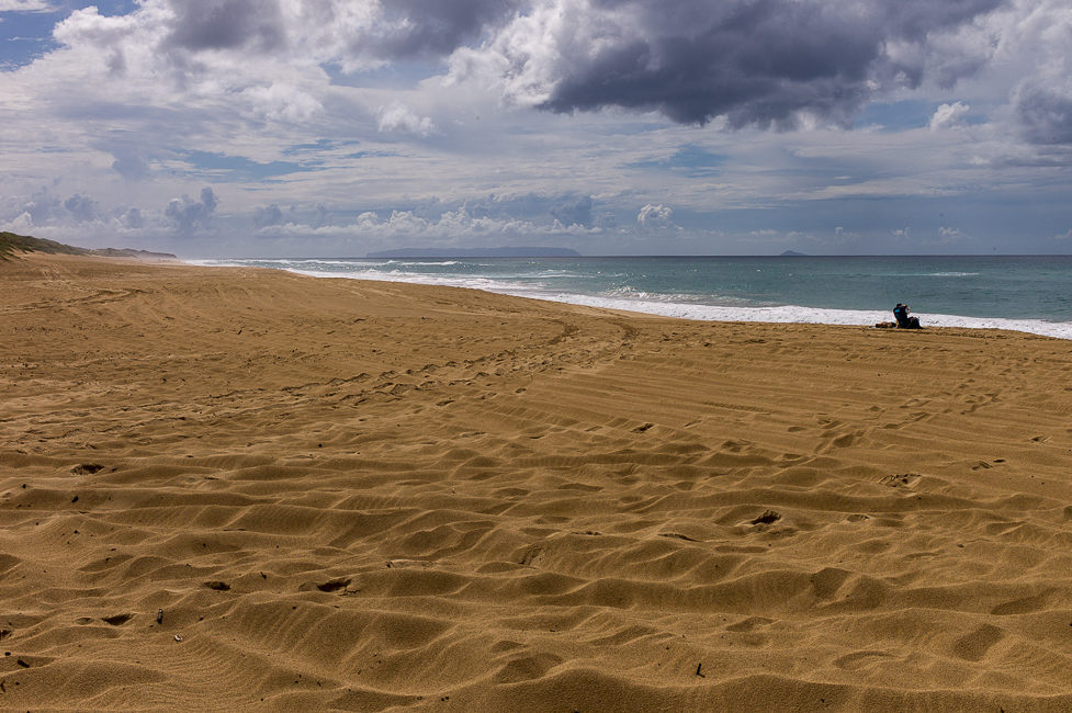
Back to the coast and again westbound to the very end of the street. There is the Polihale State Park with the largest beach in whole Hawaii. Around 20 km long and on some parts 90m wide. It was a bumpy road to get there– do not tell my car rental company as they do not cover for damages caused by the unpaved road.

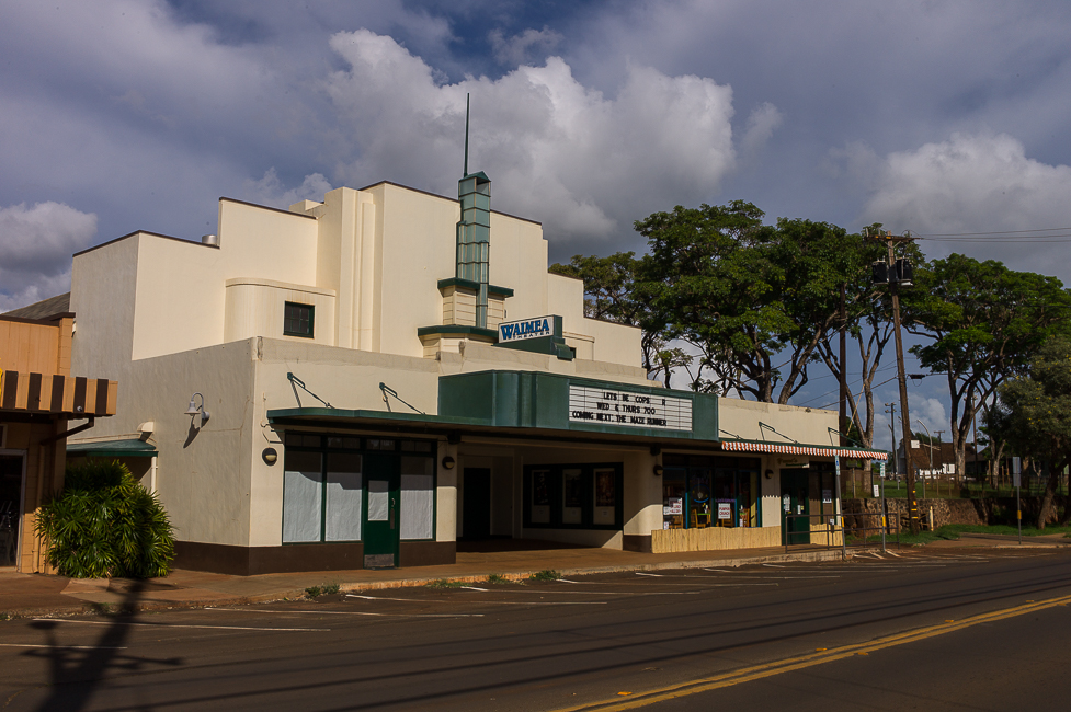
On the way home we passed another church and a movie theater — old style.
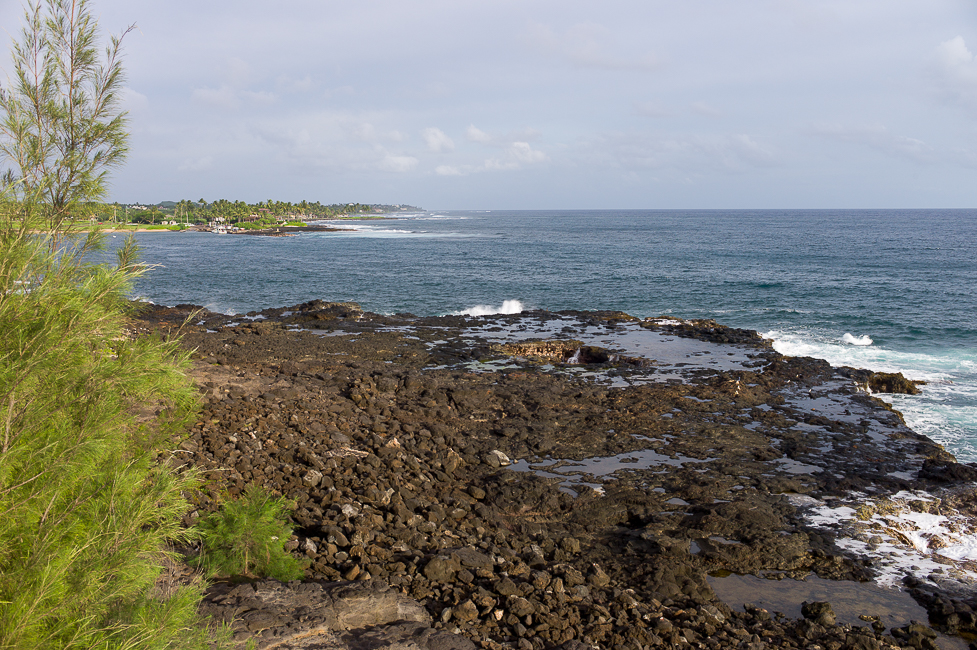
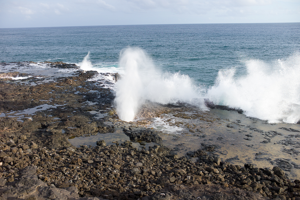
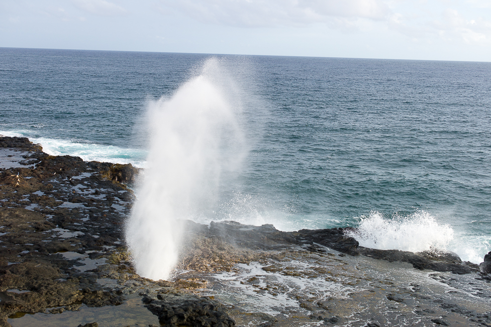
And close to our apartment at Poipu Beach was the last tourist attraction of the day. Spouting horn is a volcanic plateau next to the ocean where sea water shoots up through holes when waves hit the plateau. No “Old Faithful” though.
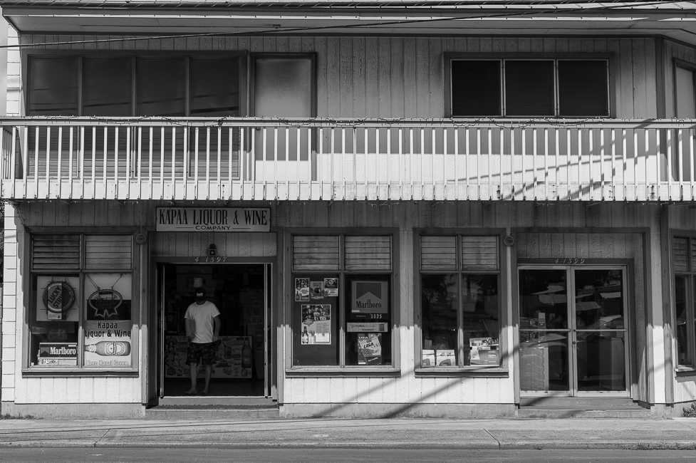
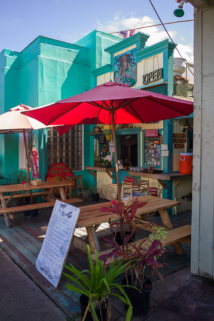
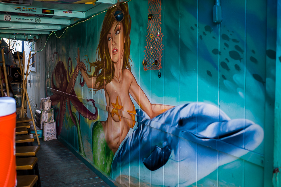
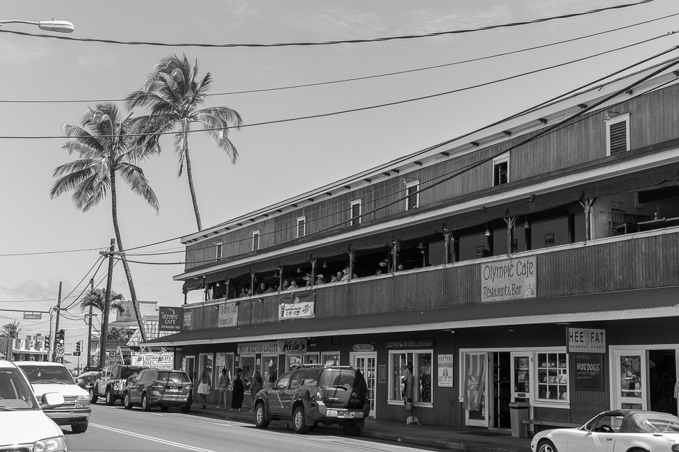
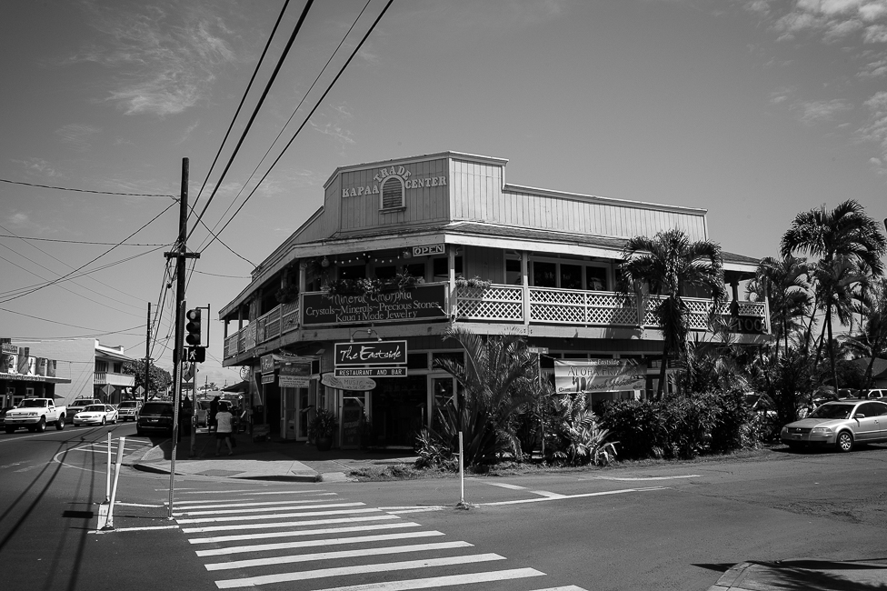
On the last day we drove again to the east-coast and visited the old town of Kapa´a.

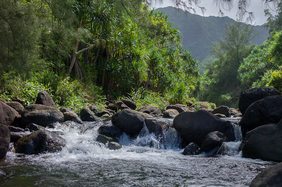
And again further south we crossed the Wailua River and drove a short distance upstream. On the way of course again churches.
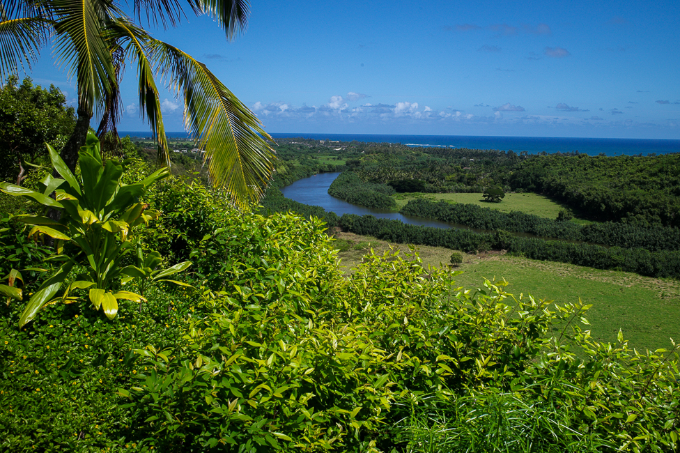
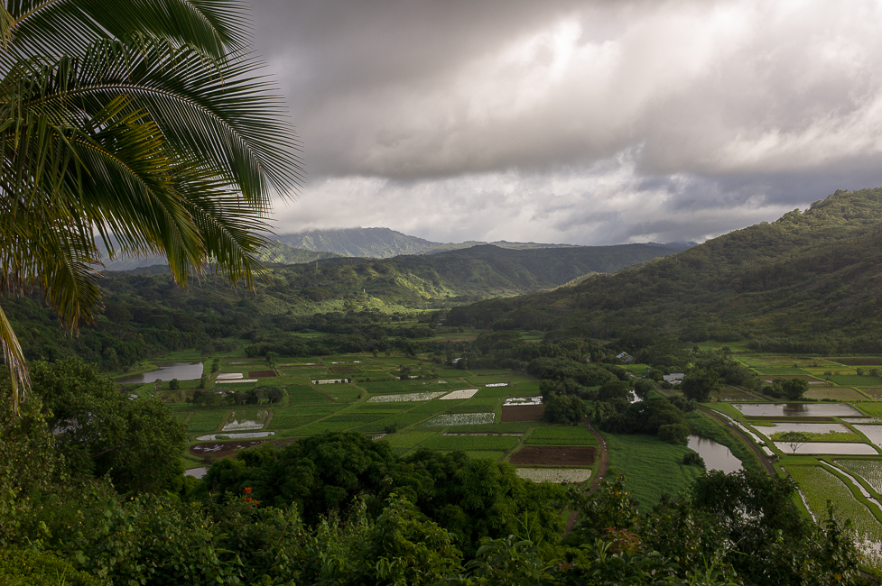
The Wailua river is holy place to the locals. In ancient times they took their capital here. There are several religious sites (heiau). The picture above and the following where taken form a location close to one of these heiau. I would build my house also at a site with such a wonderful view…

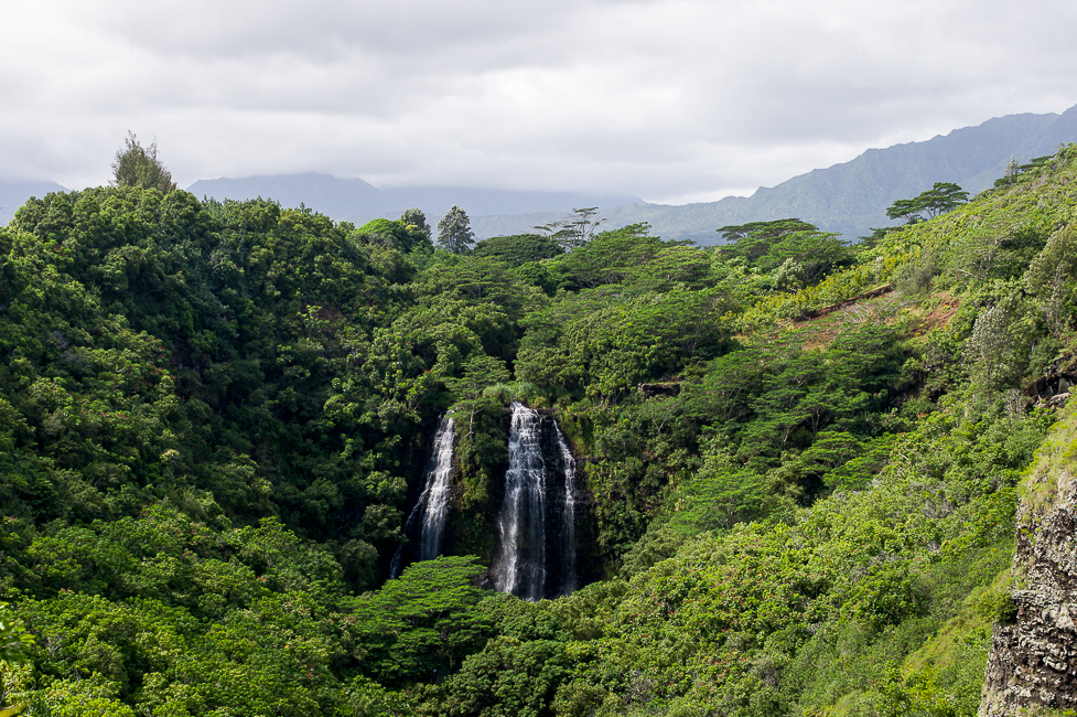
A few meter further up you can look at the Opaeka´a Falls.
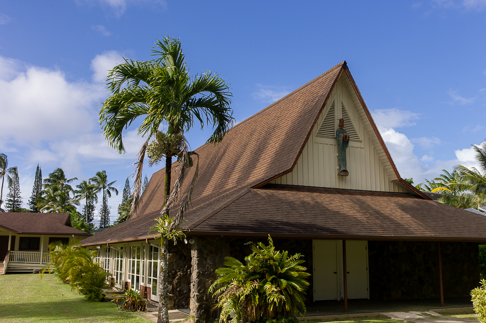
When we left the next morning to the airport I had to take a picture of the Koloa Church we had been passing by all these days.
Leave a Reply