Island In The Sky
Island in the sky is a plateau which is 300 m elevated above the surroundings in Canyonlands National Park…
Canyonlands National Park is located southeast Utah. Within in the park Green River and Colorado River merge. The landscape is similiar to the Grand Canyon but not so spectacular.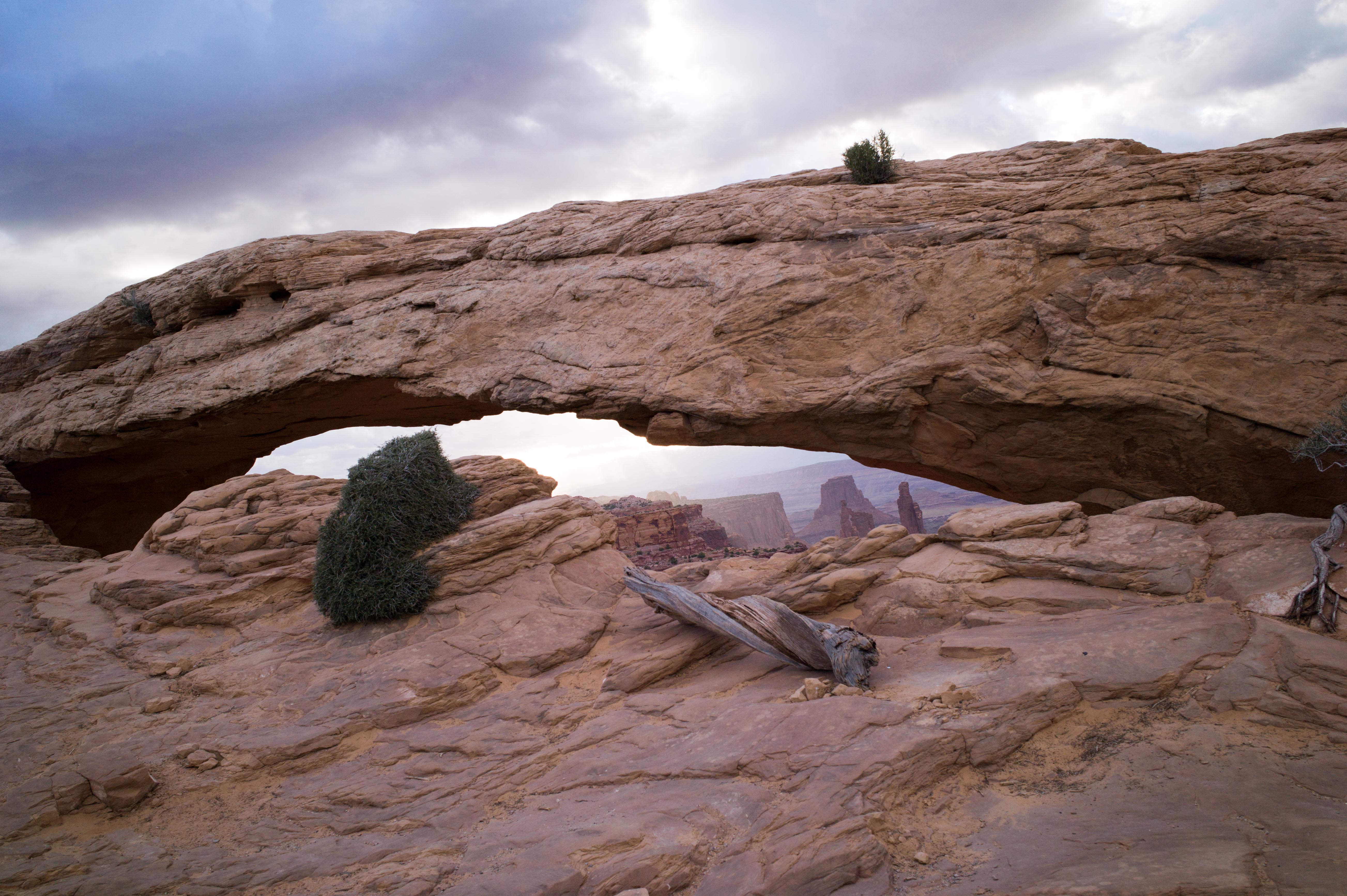
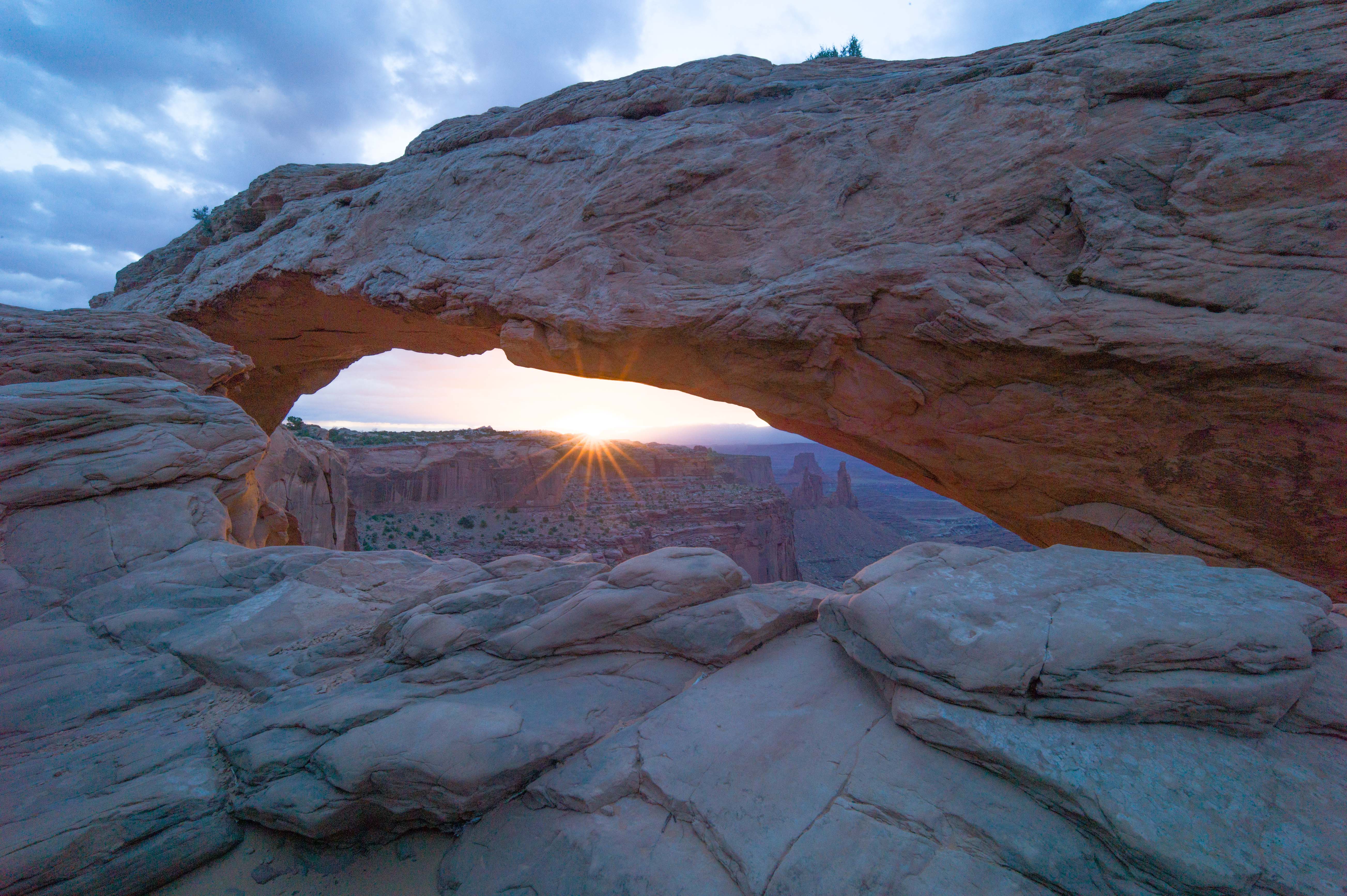
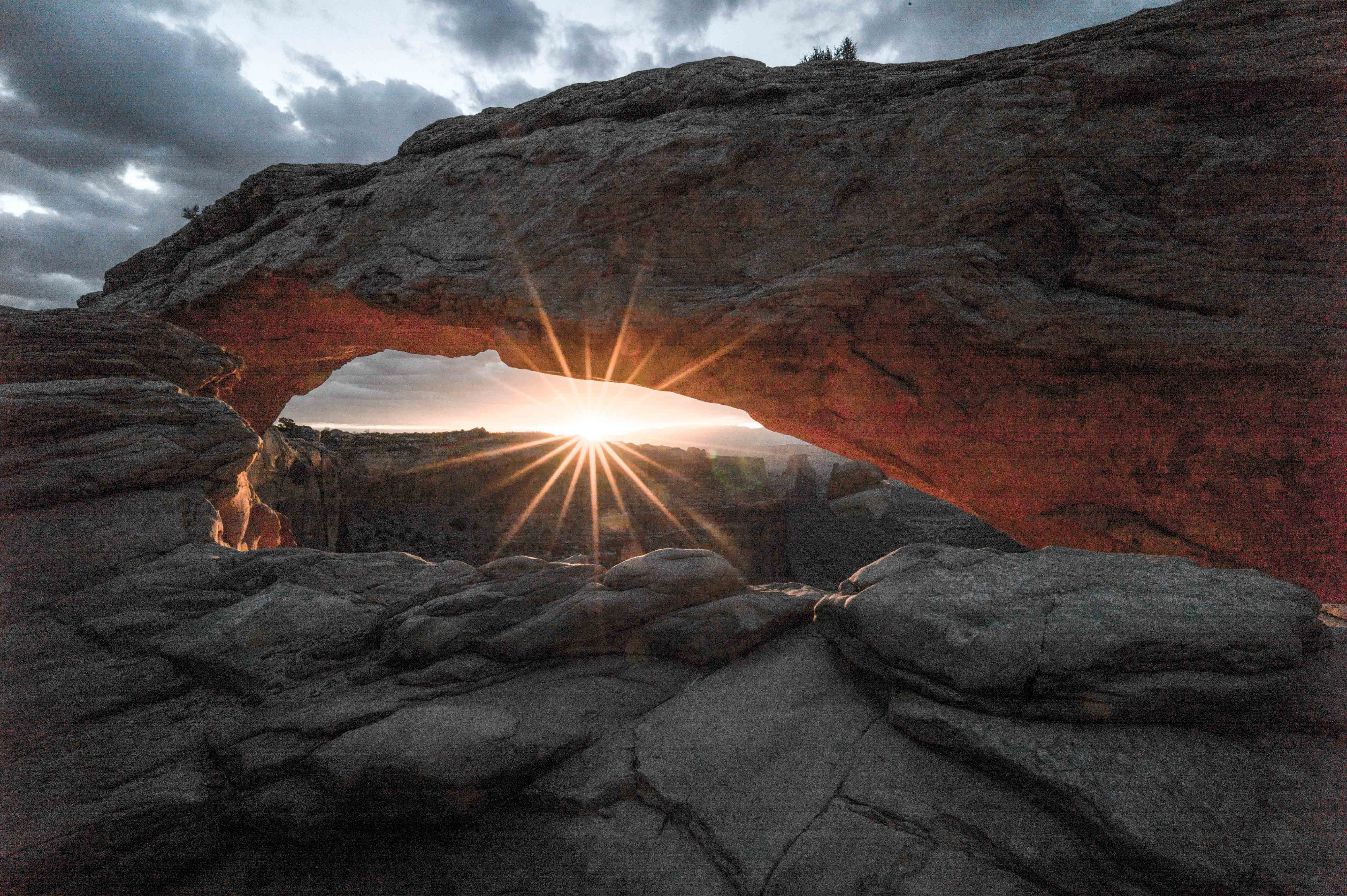
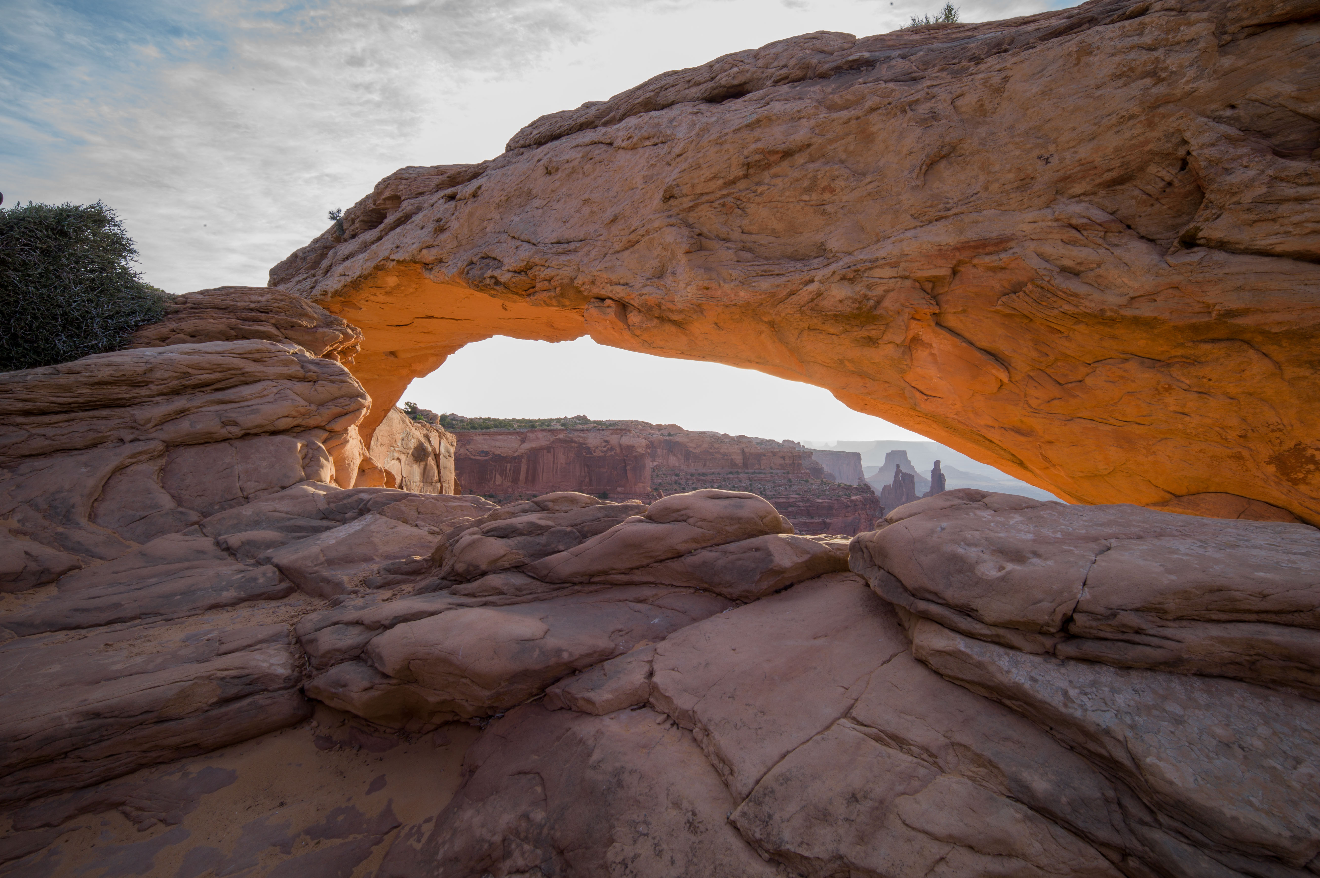
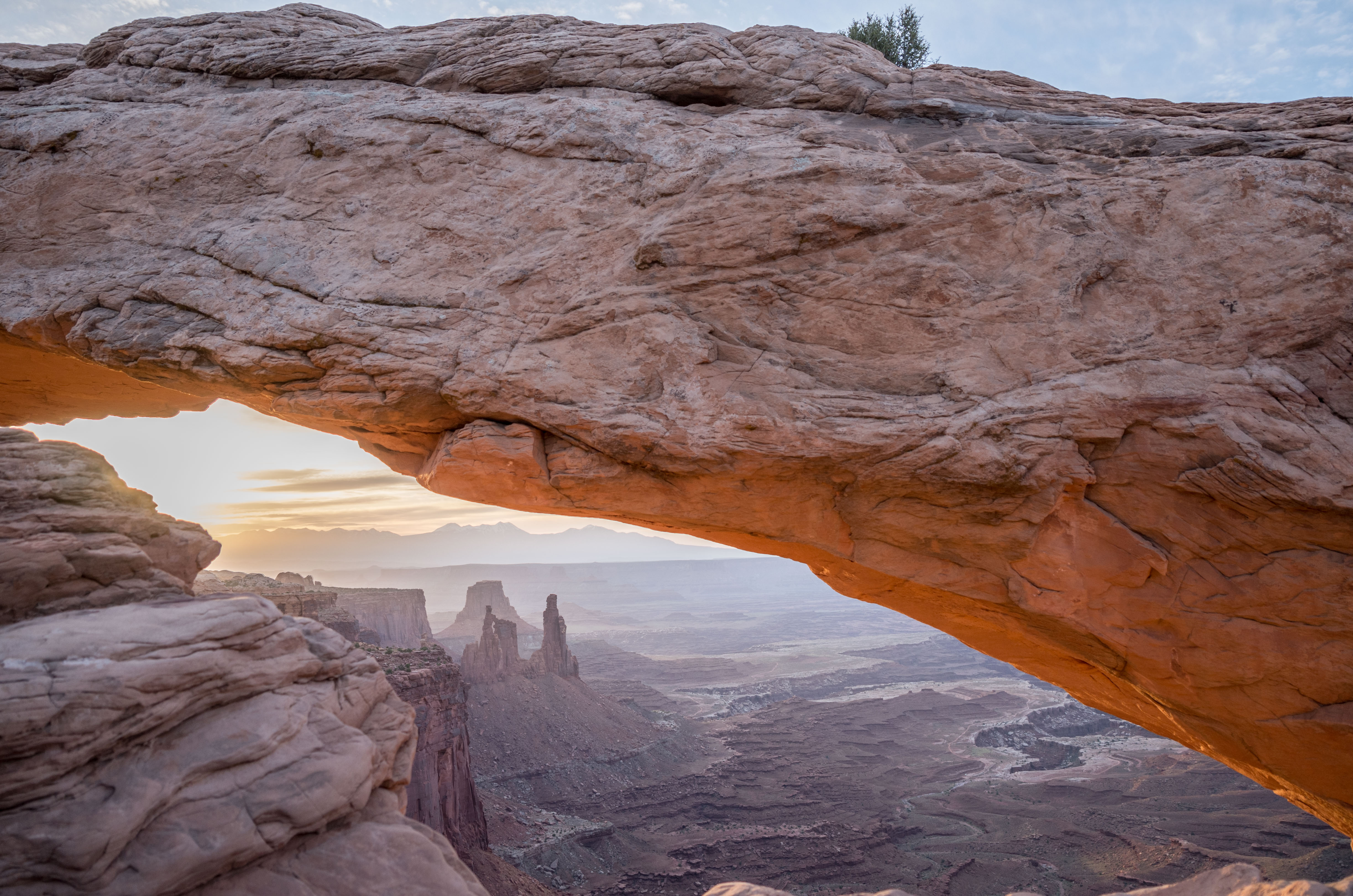
My main interest in visting was to capture sunrise at the so called Mesa Arch shown above. It is a wonderful location where the Arch sets the stage for the scenery below. As Canyonlands is located close to Arches National Park it was easy to pass by one morning. But it was a cloudy day and I did not get the shots I had been waiting for since 5.00 in the morning that day. But what I got was quite impressive already.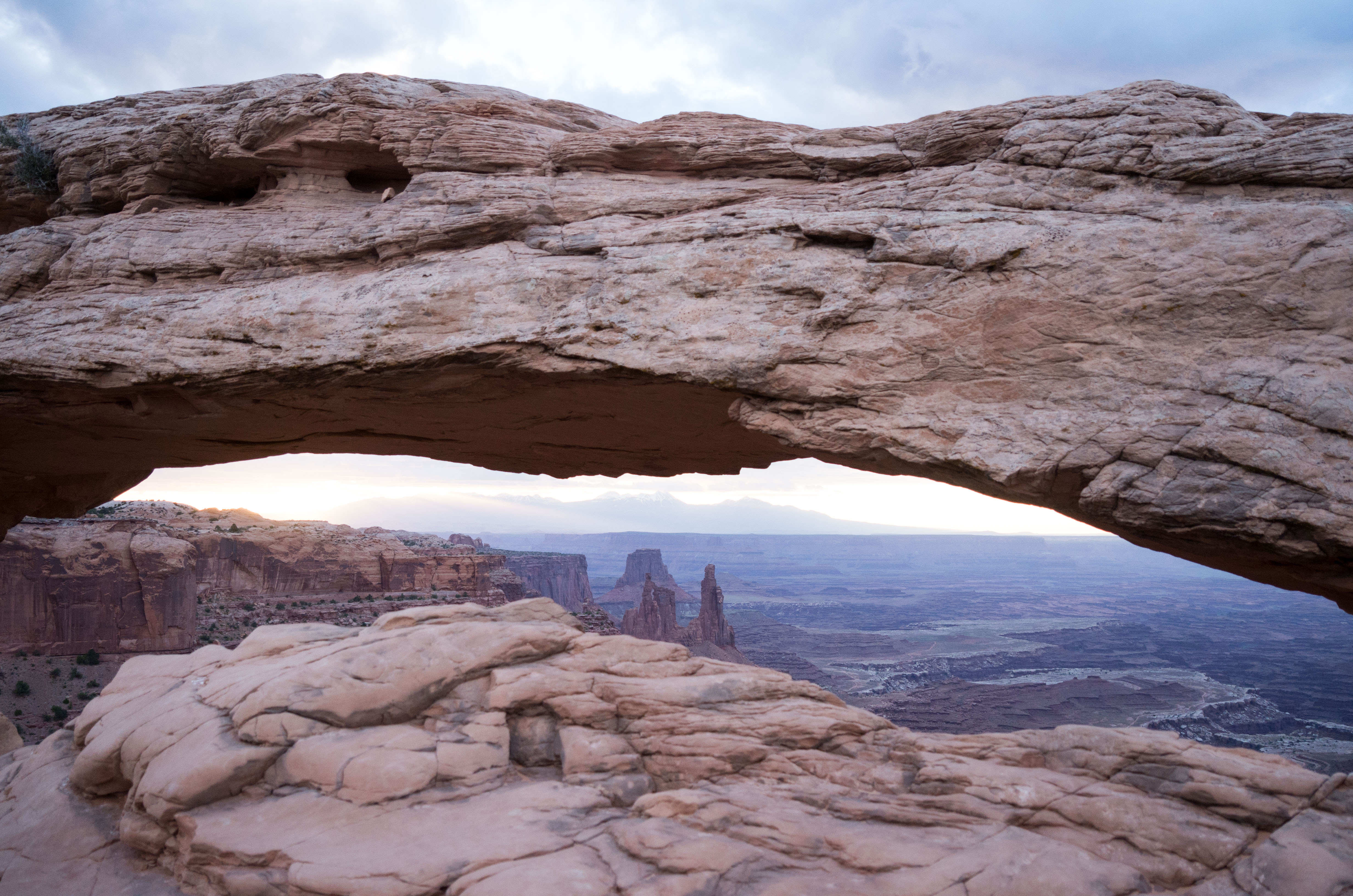
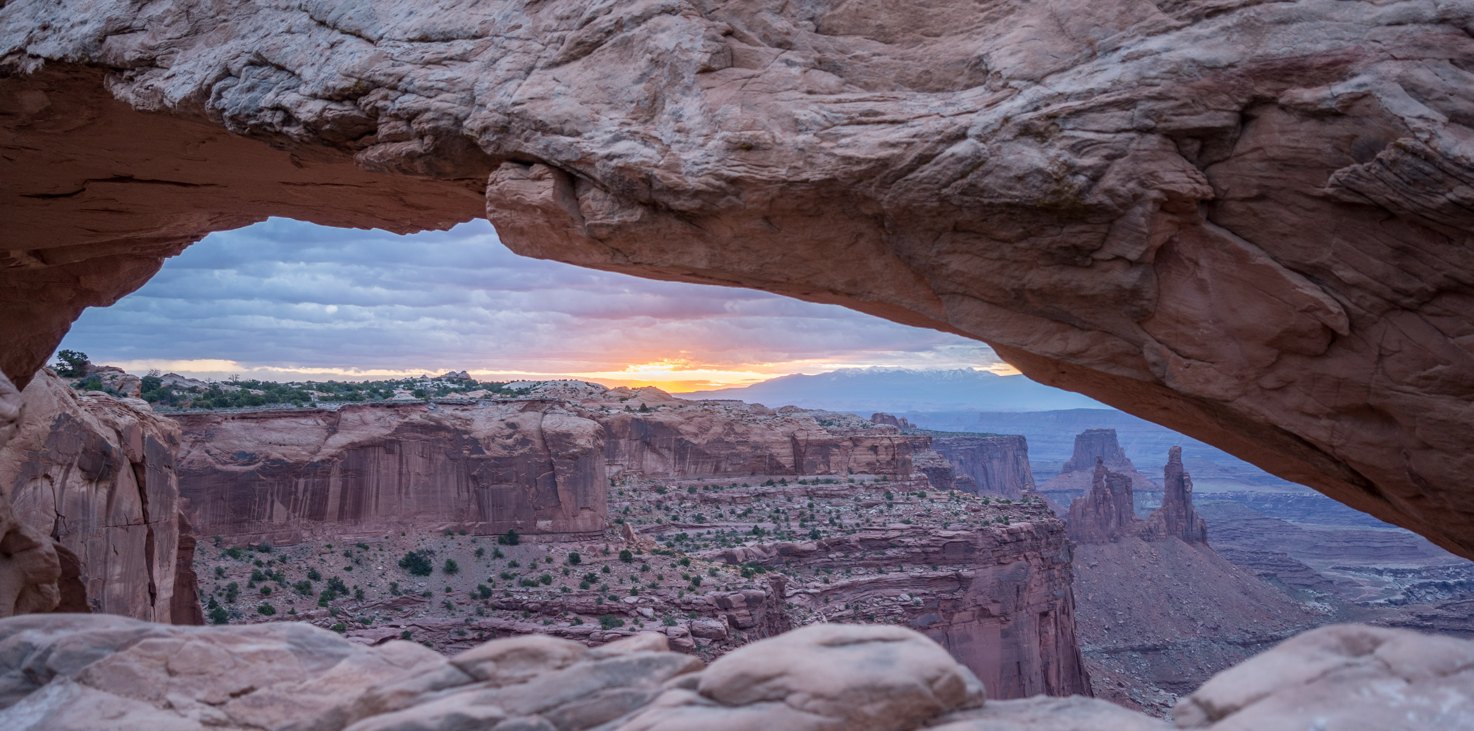
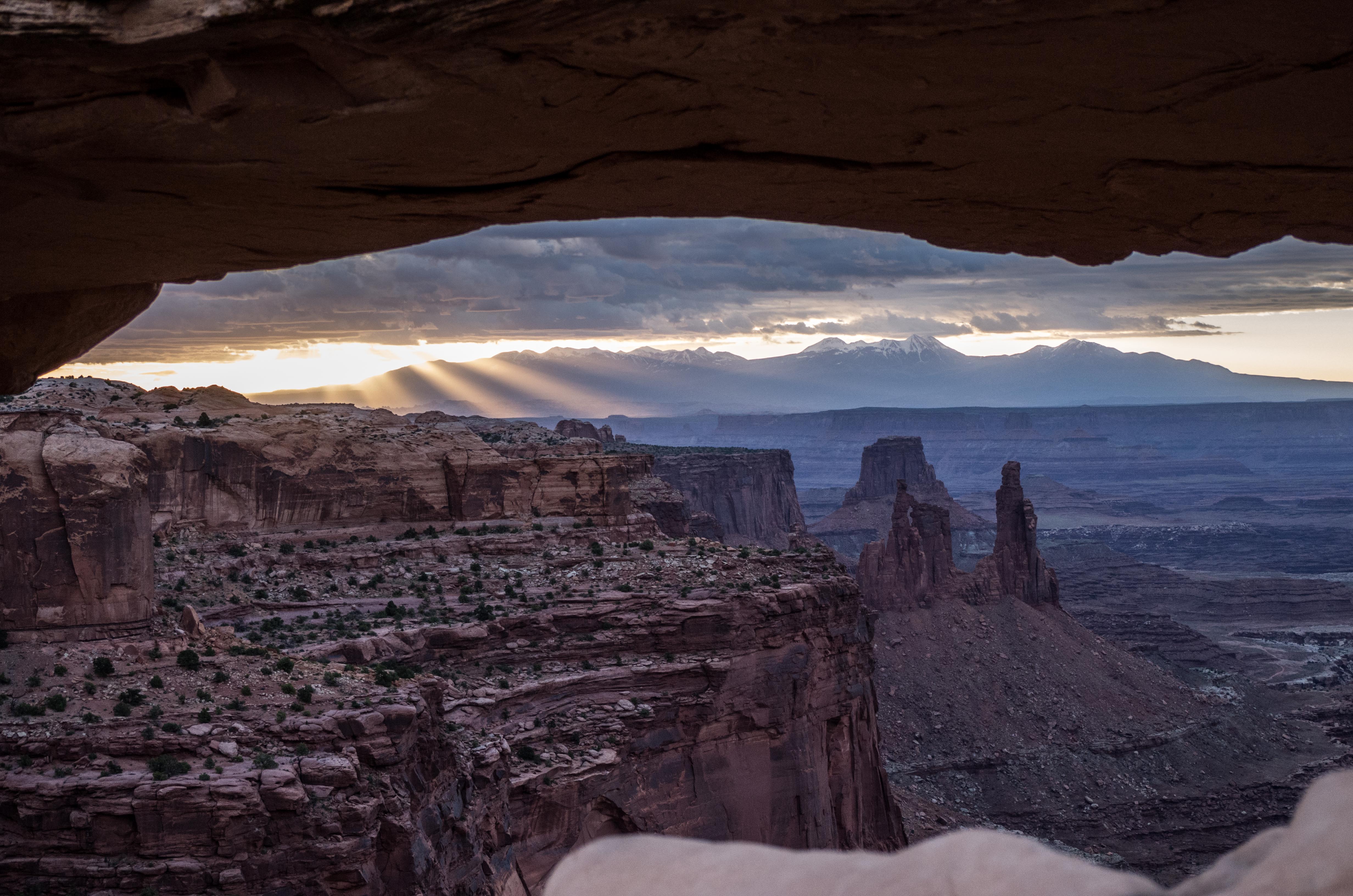
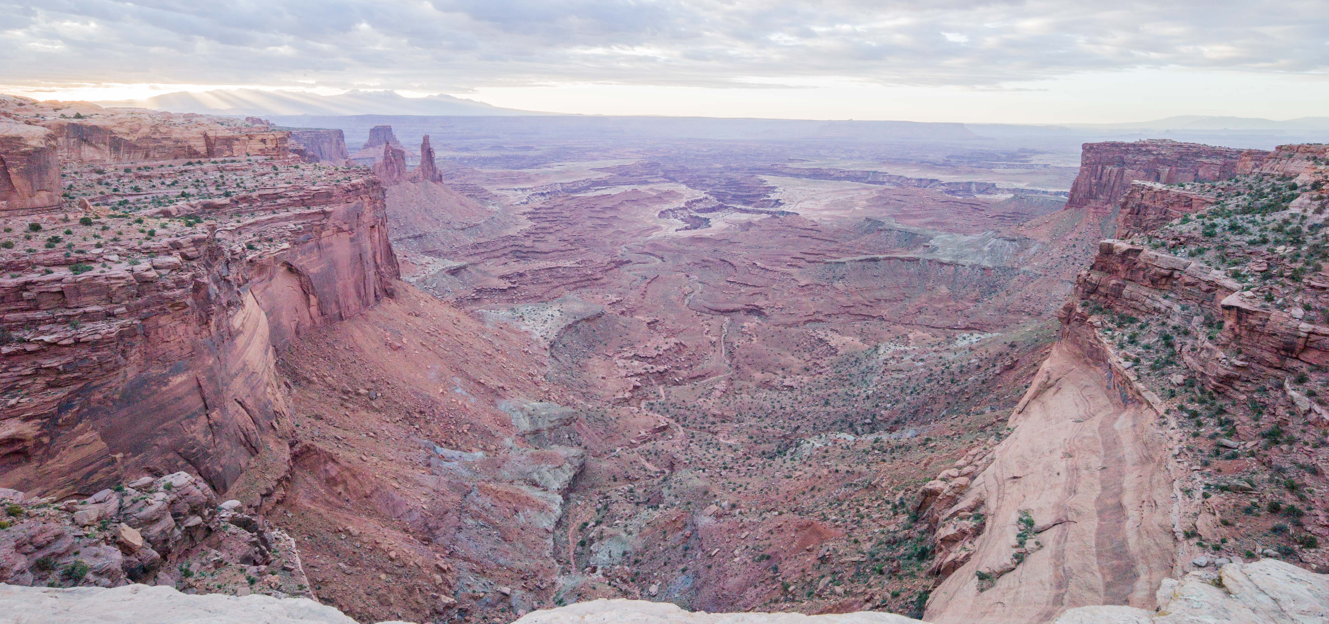
Leaving the limitating view of Mesa Arch one gets immediately an idea why this plateau is called Island in the Sky. It opens the view to the vast surroundings beneath.
 At the southern point of the plateau is the Grand View Point Overlook. From here you look down to the so called “Monument Basin”.

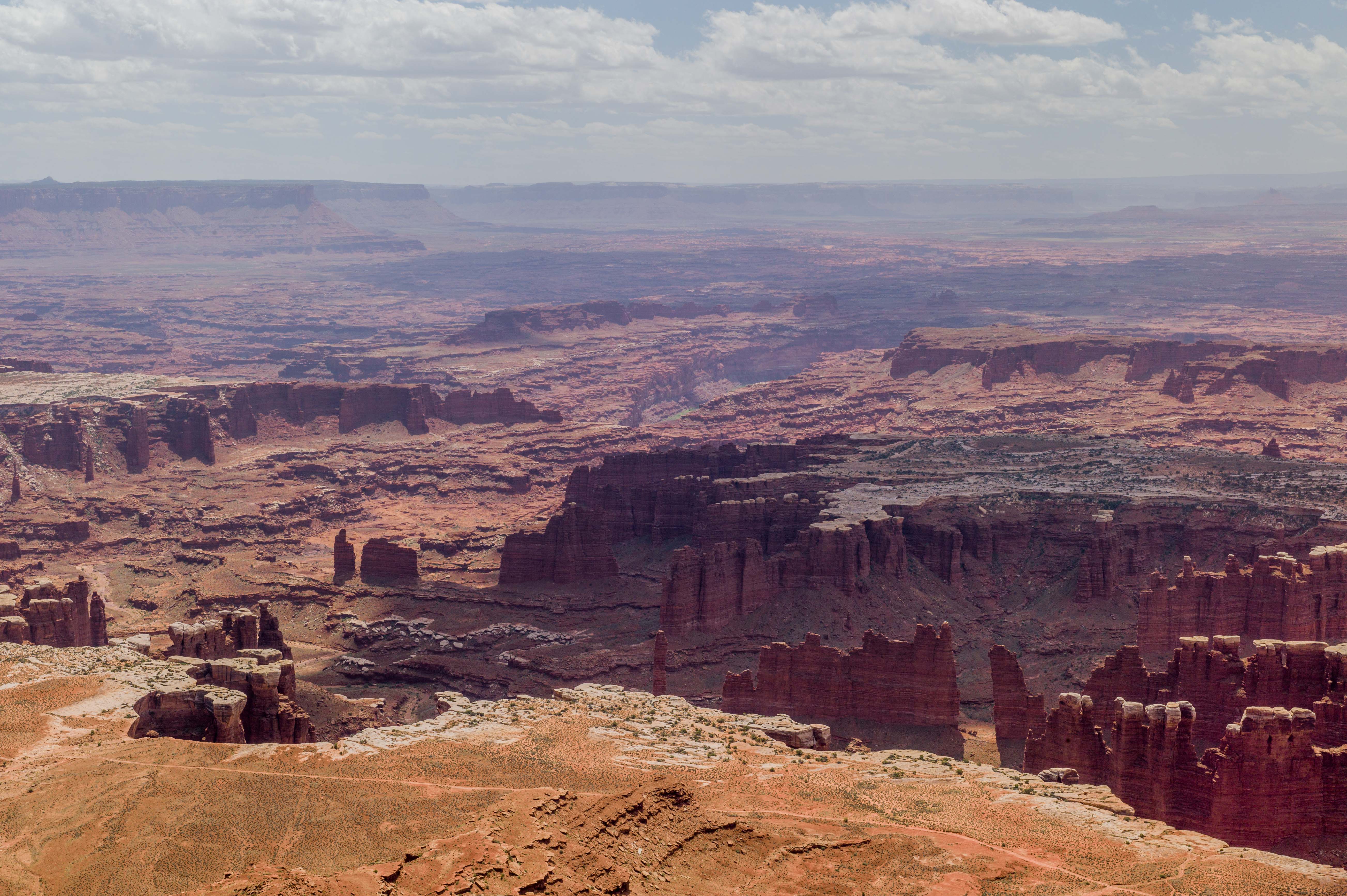
These pictures just give a glimpse of the dimensions. You can take hikes down to the Basin and will have spectular views on the structures the Green River (visible in the middle of the picture above) has carved into the landscape over millions of years. 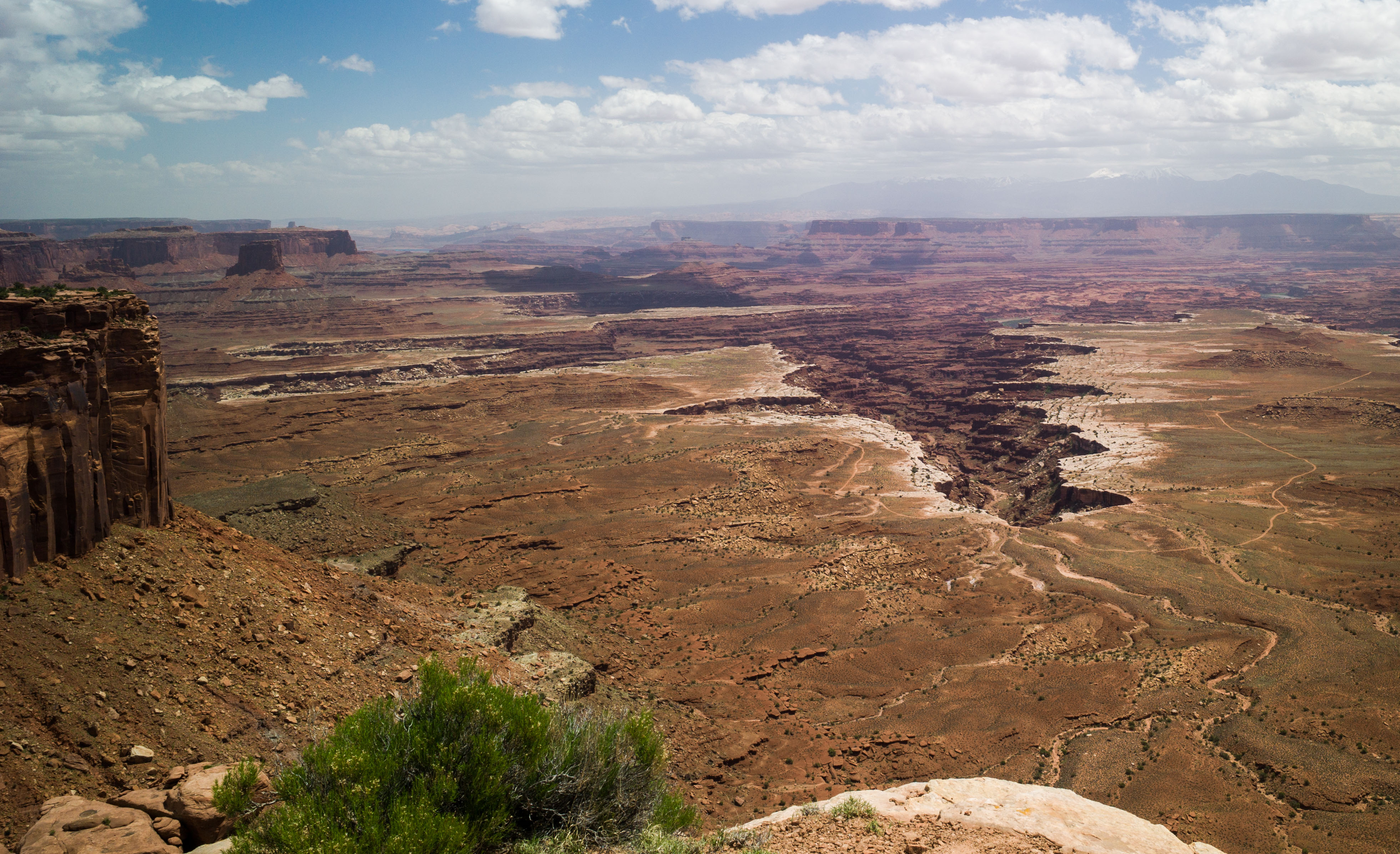 This is a view of Buck Canyon to the East towards the Colorado River. I still wonder why a Canyon starts out of nowhere with no visible river.
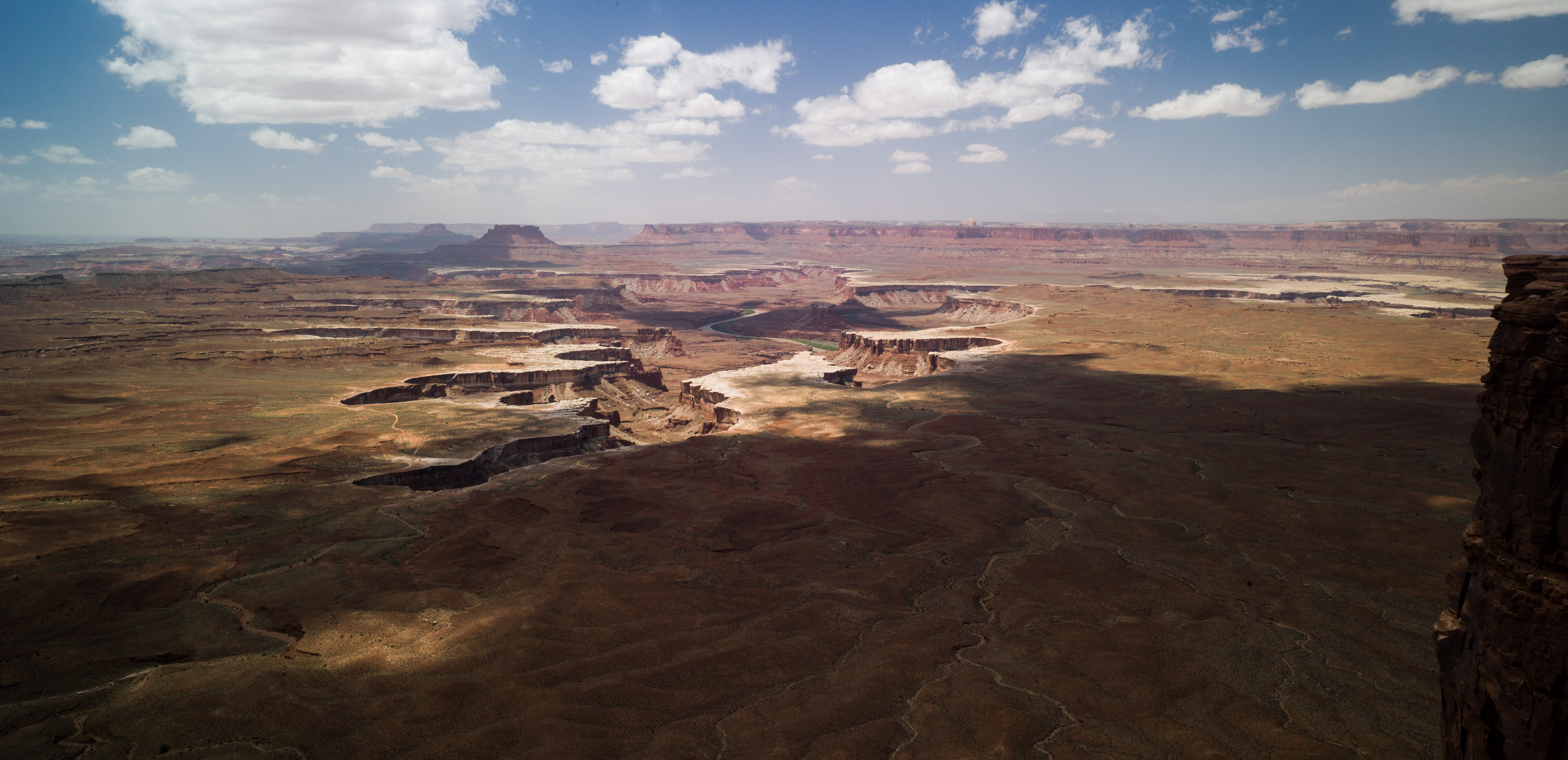
On the other side to the West is the Green River Overlook. It is the showpiece the Park Agency features on it´s website. And I think they are right. 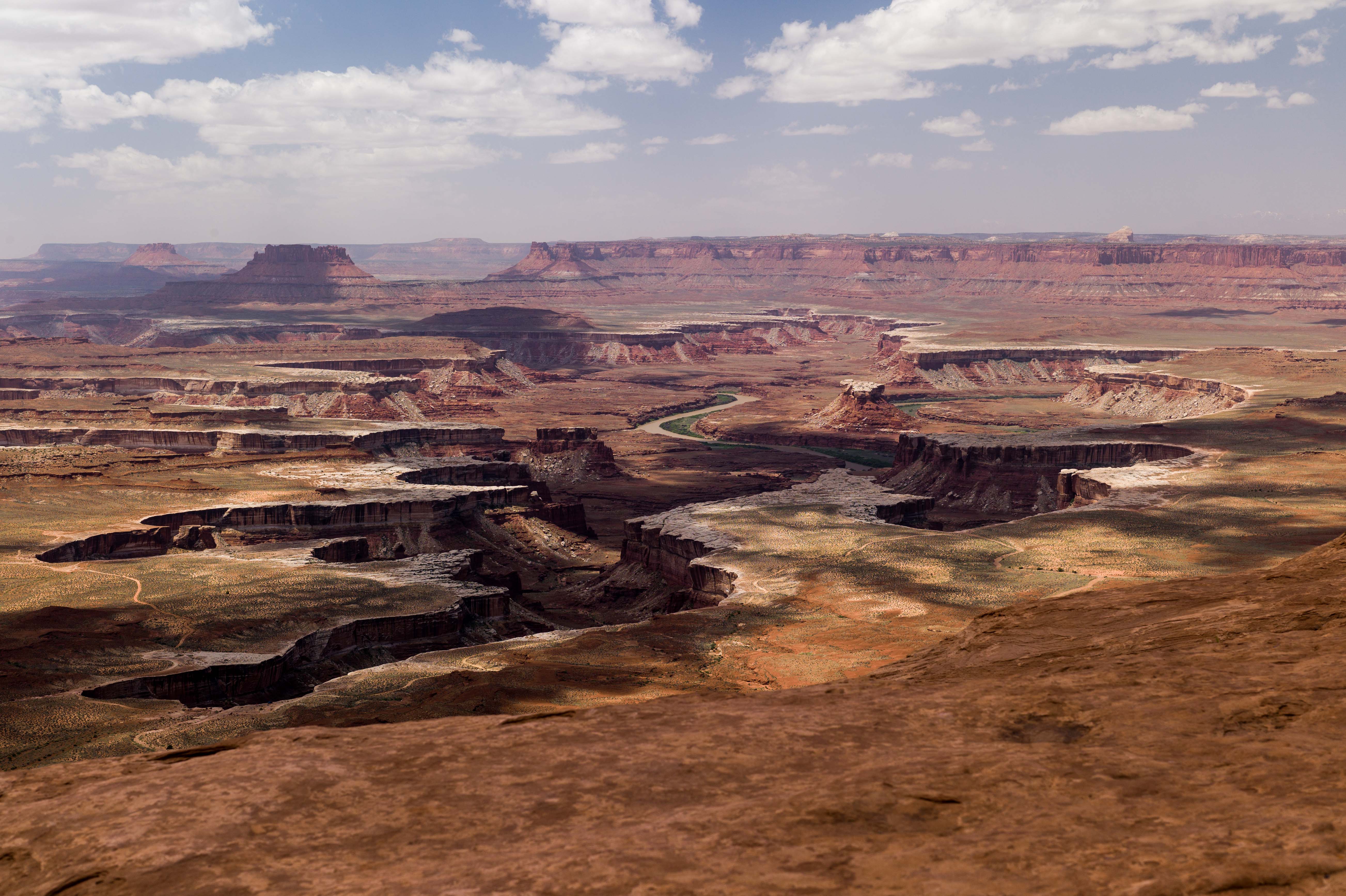 The picture above gives a nice bird eye view of the Green River and it´s way south where it soon will merge with the Coloradao River.
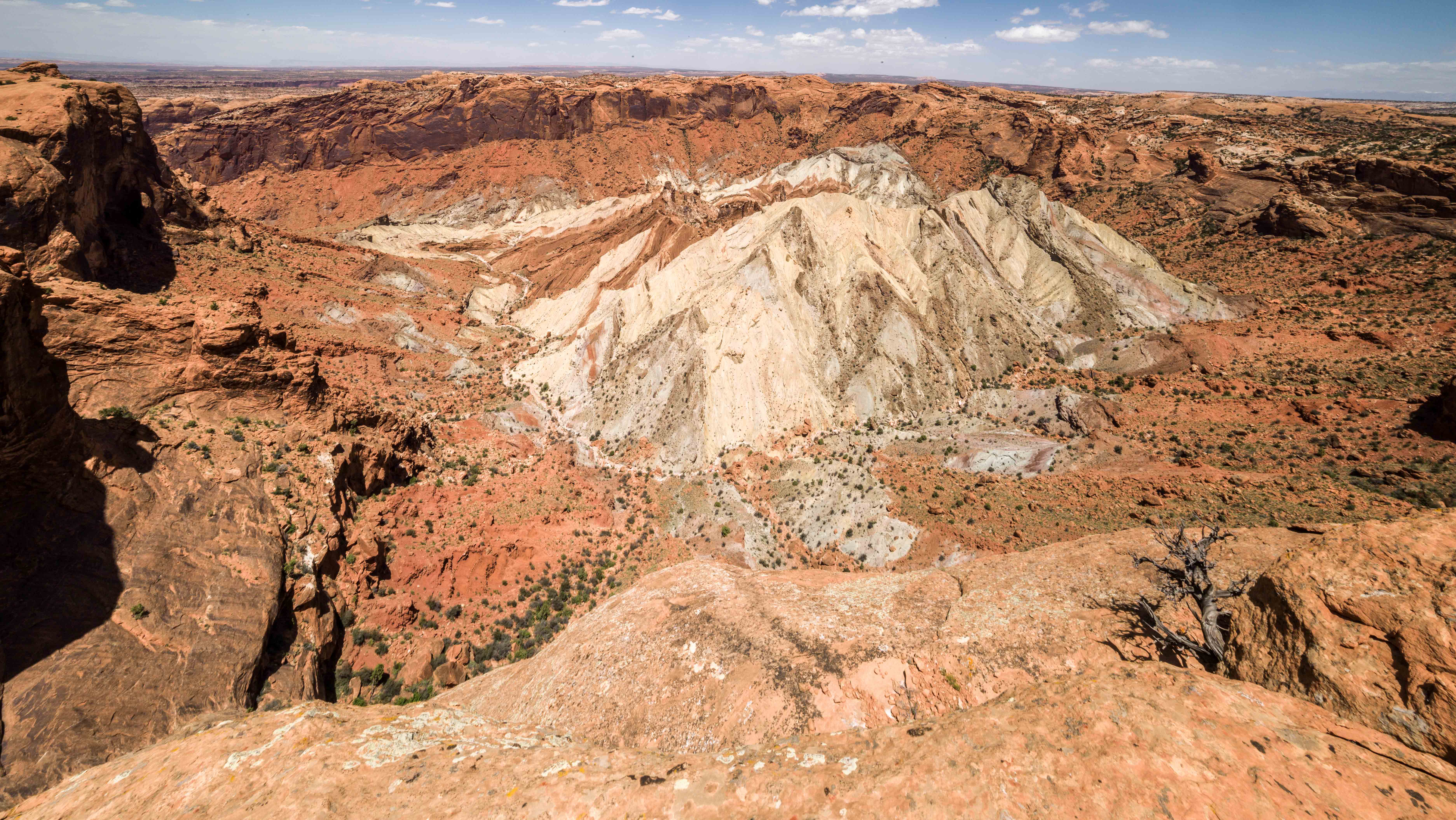
Next stop on the outlooks of Island In The Sky was the so called Upheaval Dome. There were two well-known theories as to the origin of the upheaval. One theory was the upheaval is a salt dome, an structure which occurs when a salt diapair is pushed up by the weight of overlying rocks.The salt is clearly visibel in the middle. The other theory is that of an eroded impact crater. Latest studies by NASA indicate that the latter may be the case.
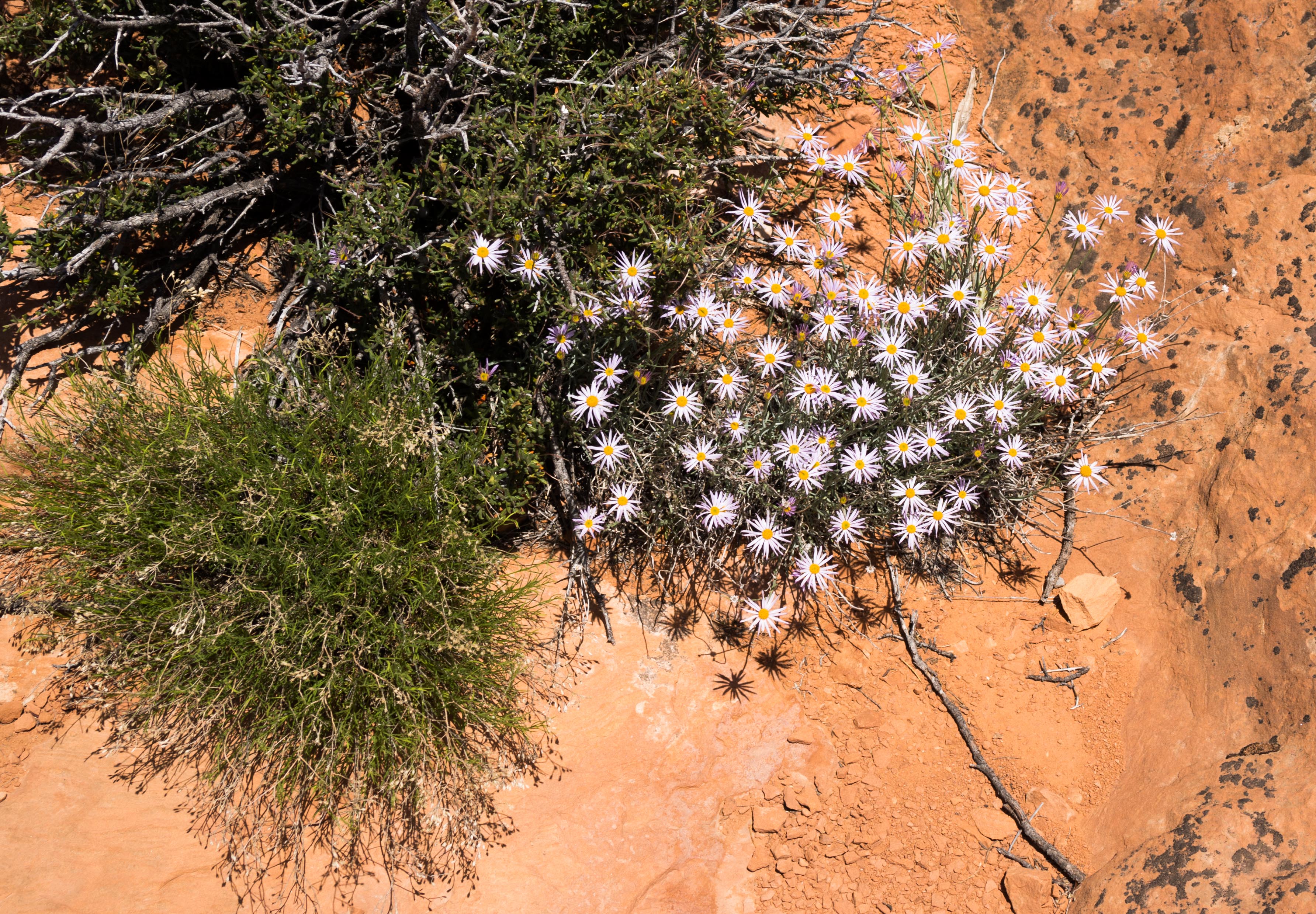
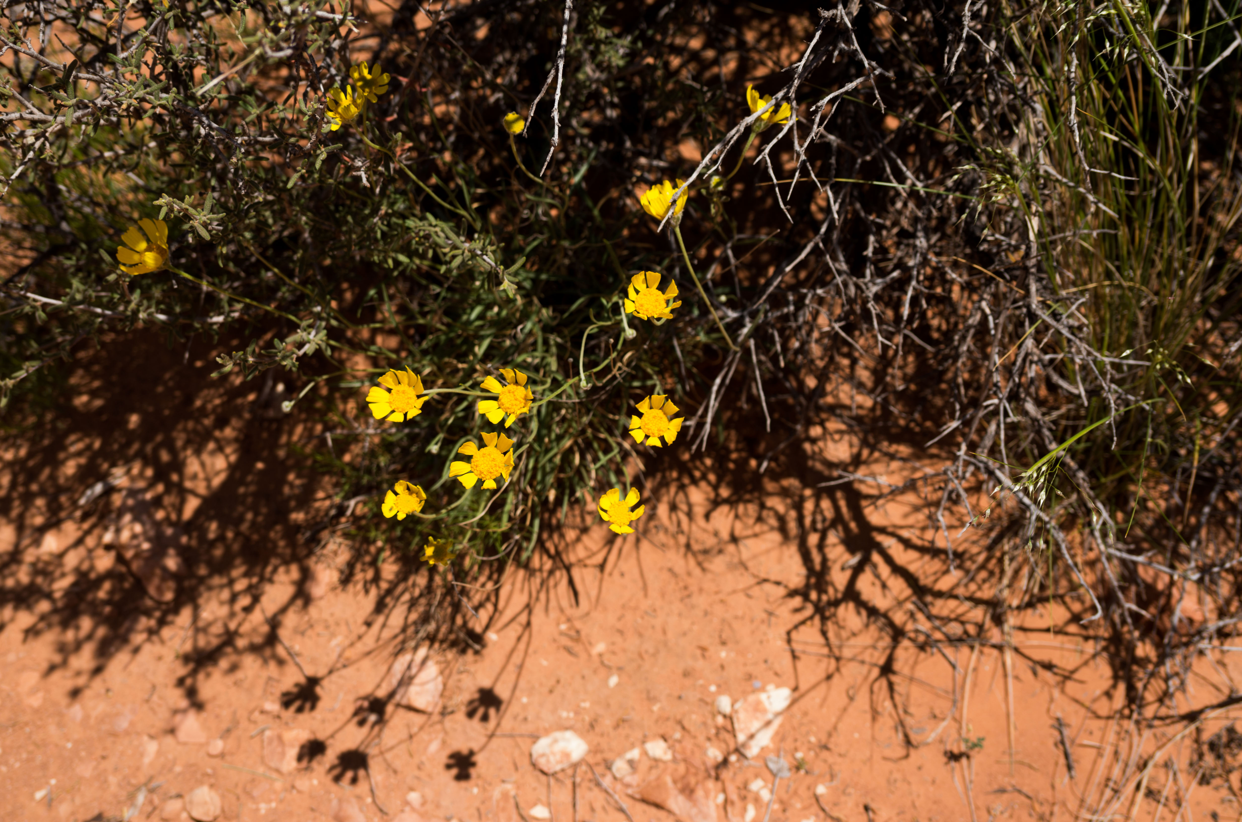
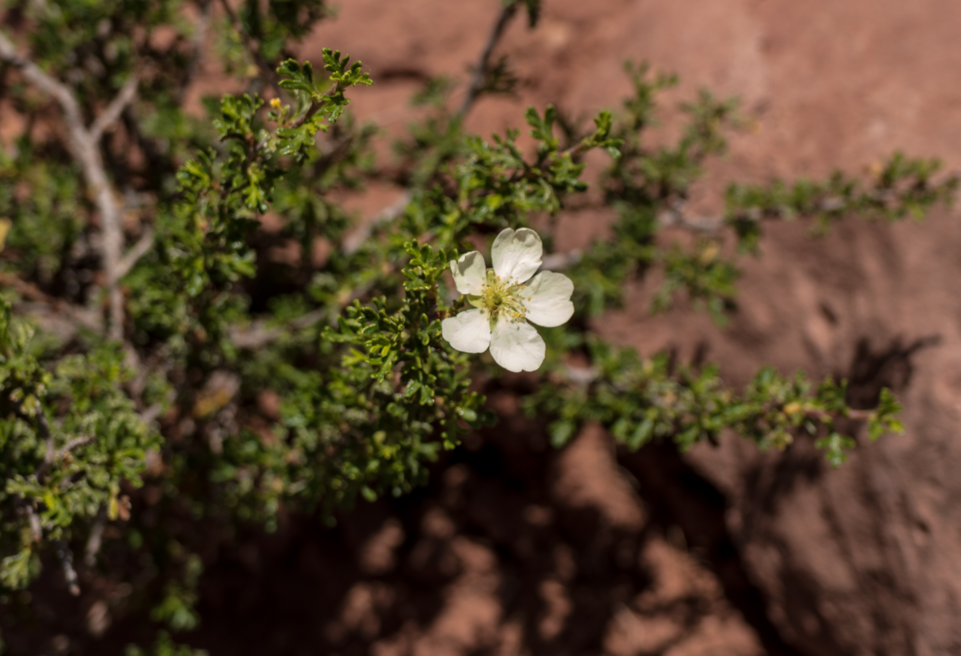
It is a little walk on a trail from the parking lot to the best overlook and on the way nature has it´s little suprises of flowers we also find in Europe.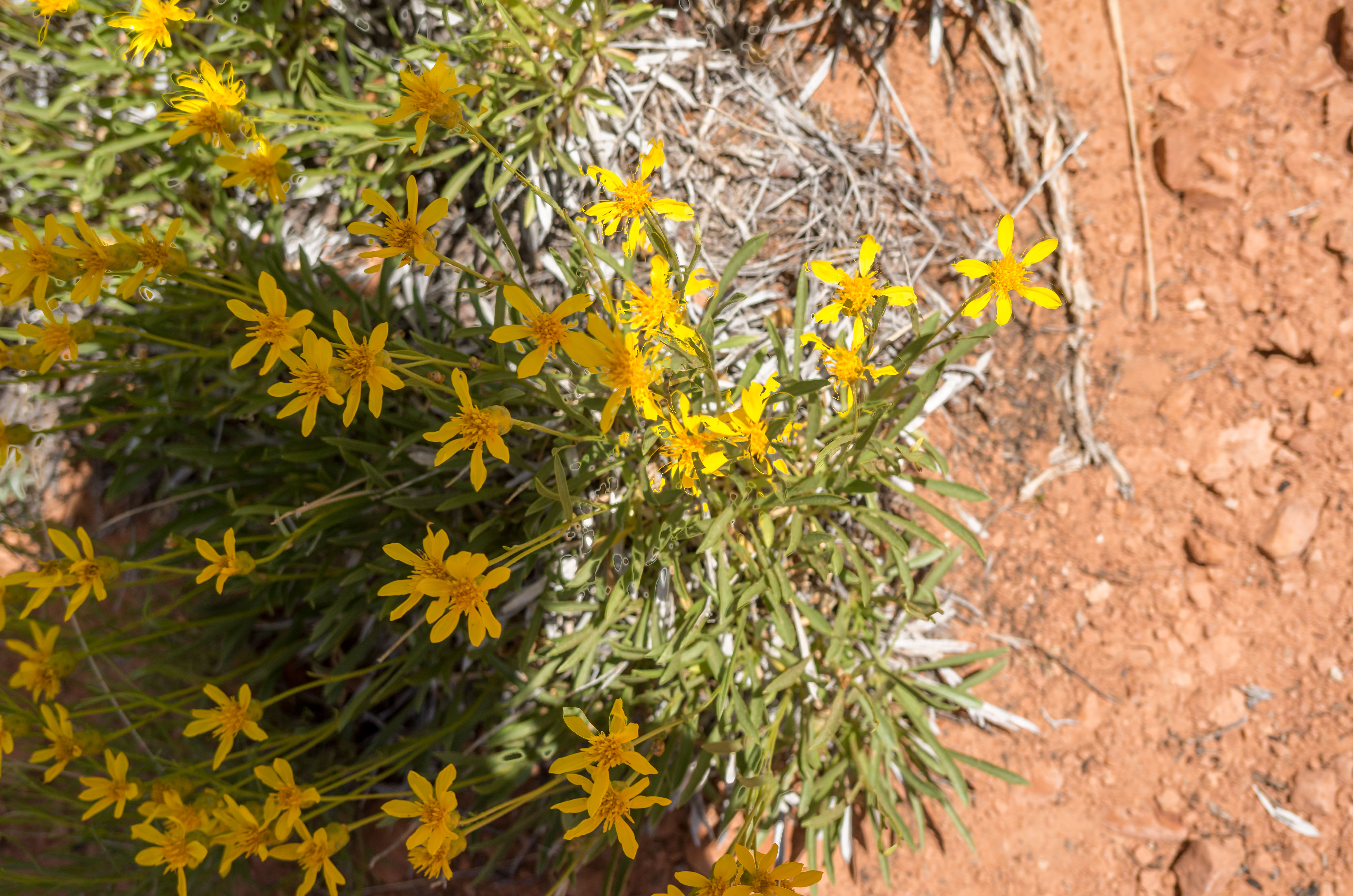
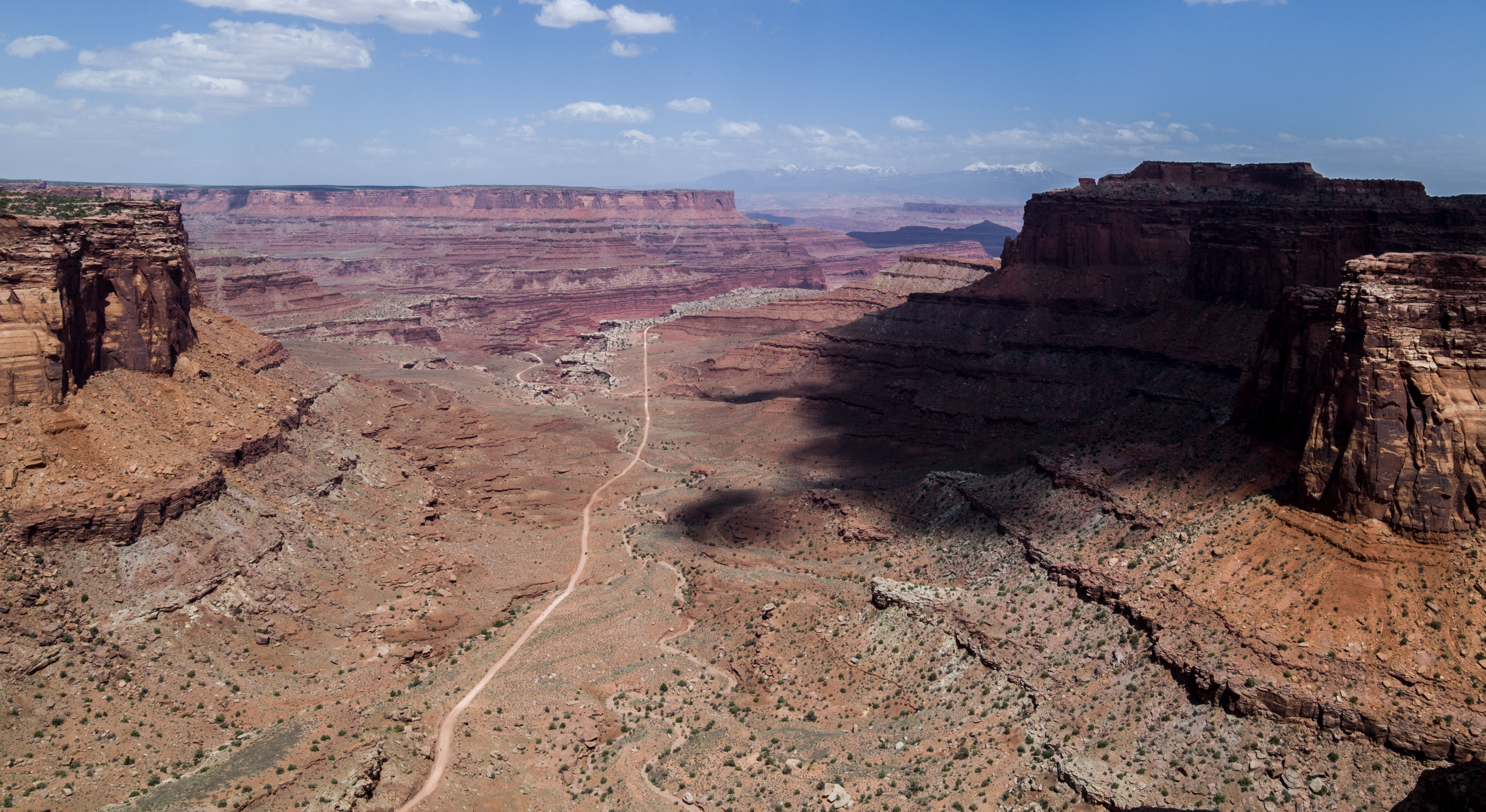
 Last stop on leaving the Park is the overview of Shafer Canyon to the East.
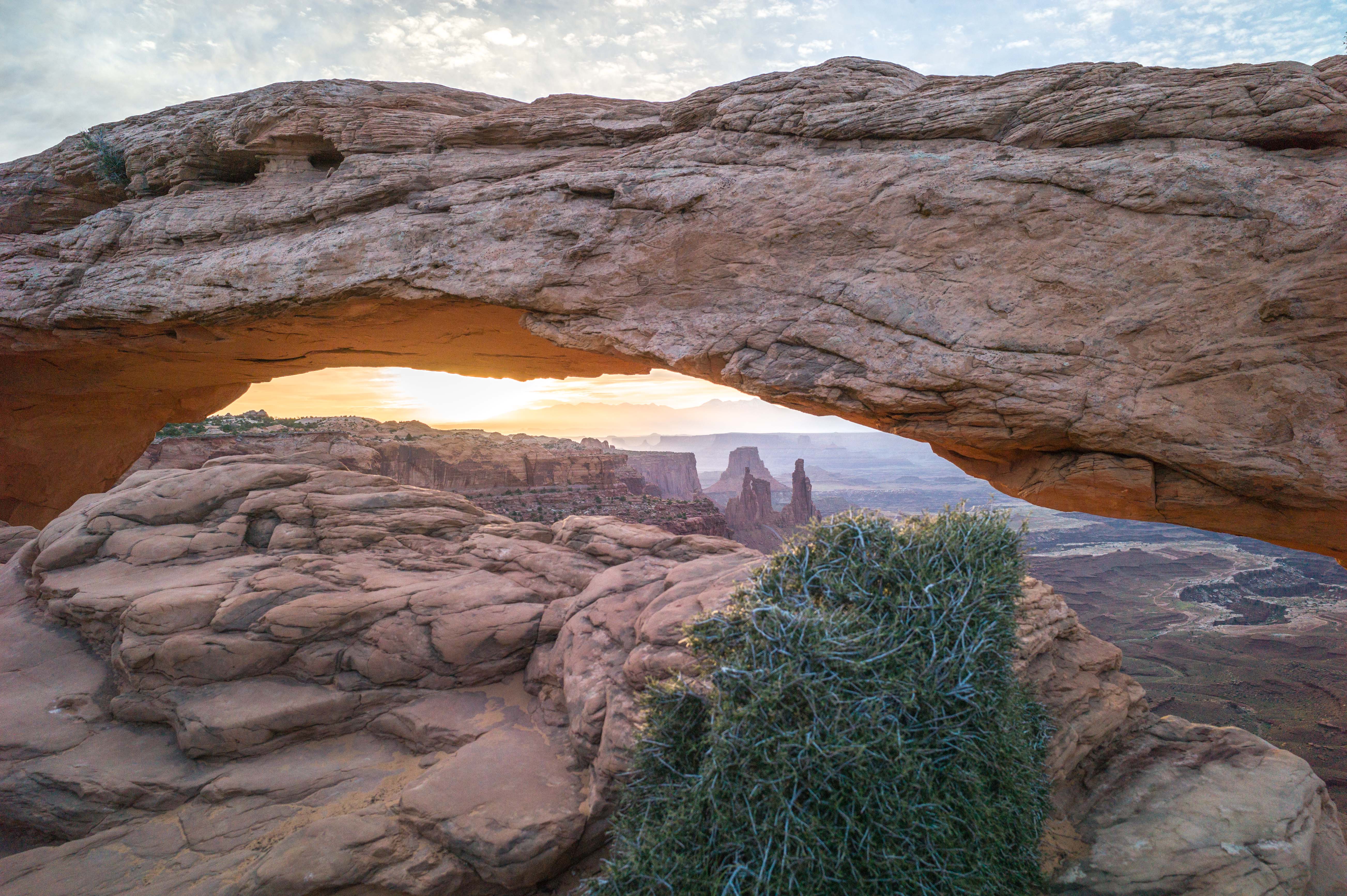
As the weather had cleared up during the day and the forecast was promising I decided to give Mesa Arch another try next morning. I was at my favorite spot at 4.30 a.m., right before a group of 30 Chinese tourists arrived. They spoiled the tranquility but not the pictures. I got the “glow” (underneath the Arch) I had been hoping for.
Leave a Reply